Other
Digital Library for Earth System Education: Teaching Box: Earthquake Country
A suite of lessons focusing on all aspects of earthquakes. Inquiry-based exploration of earthquakes includes measuring seismic waves, predicting earthquakes, investigating magnitude and intensity, mapping fault lines, and evaluating...
Other
Federal Emergency Management Agency: Tremor Troop: Earthquakes [Pdf]
A 260-page unit of activities on earthquakes. Covers what they are, their cause, why and where they occur, their impact on the Earth, how they are measured, and safety and survival. Includes worksheets and has a glossary at the end.
Science Education Resource Center at Carleton College
Serc: Subduction Zone Earthquakes
For this lesson, young scholars manipulate a model, consisting of templates on a piece of paper and an overlaying transparency, in order to explore the characteristics of subduction zone earthquakes. In the process, they develop an...
Incorporated Research Institutions for Seismology
Iris: Buildings and Earthquakes Which Stands? Which Falls? [Pdf]
This is an excellent collection of background material, resource and video links, and lesson activities on earthquakes and methods for constructing buildings that will withstand an earthquake.
Other
Federal Emergency Management Agency: Earthquake Safety Activities [Pdf]
A 74-page booklet of activities that teach about earthquakes and what to expect when one strikes, what one can do to prepare for them, and ways to stay safe during an earthquake and afterwards.
Other
Shake Proof Science: Engineering Earthquake Safe Structures [Pdf]
Lesson covering earthquake basics and designing structures that can withstand earthquakes. Students are tasked with building earthquake-proof structures using marshmallows, spaghetti, and the option of bamboo skewers. These are then...
NC State University
The Engineering Place: Earthquakes and Volcanoes
In this lesson, students simulate volcanic explosions using liquids of varying viscosity, and learn about volcano and earthquake zones around the world.
American Geosciences Institute
American Geosciences Institute: Earth Science Week: Geologic Maps & Earthquakes
This activity is designed to give students practice using a geologic map to assess the likelihood and location of a particular natural hazard- earthquakes- in California.
PBS
Pbs News Hour Extra: You Don't Need a Seismograph to Study Earthquakes
Three part lesson will provide students with information about earthquakes and how to predict them using various Web sites. Activities include historical background on major earthquakes, investigating mechanical waves, and simulating...
Science Buddies
Science Buddies: Locating the Epicenter of an Earthquake
When an earthquake happens, how are scientists able to determine the original location of the quake? In this project, you'll use archived data from a network of seismometers to find out for yourself. You'll create your own seismograms...
Science Buddies
Science Buddies: Set Your Table for a Sweet and Sticky Earthquake Shake
Earthquakes can have different affects depending on their location. This week long exercise asks you to build a model house and a special table to shake it on, and see how different soil types can amplify shaking.
University of Wisconsin
Scien Count Ers: Earthquake Proof Buildings
This lesson looks at how the forces of an earthquake impact on buildings, and different ways to make buildings earthquake-proof. Includes student worksheet and tectonic plates map.
Texas State Historical Association
Texas State Historical Association: Notable Earthquakes Shake Texas [Pdf]
An activity guide where students refer to the Texas Almanac, which is free to download, for information needed to complete assigned tasks. In this lesson, they research earthquakes that have taken place in Texas, and the risk of...
Science Education Resource Center at Carleton College
Serc: Bot Ec: Energy Released in an Earthquake
A magnitude 8.5 earthquake (such as the 1964 Good Friday earthquake in Alaska) releases about 1x10¹⁸ joules of energy. The atomic bomb exploded over Hiroshima released about 1.5x10¹³ joules of energy. How many Hiroshima bombs would one...
Incorporated Research Institutions for Seismology
Iris: Earthquake Machine 3 Earthquake Prediction: Adi Style Activity
Young scholars work in small groups to use a physical model, the earthquake machine, to examine the occurrence of earthquakes and the inputs and outputs of fault systems.
Incorporated Research Institutions for Seismology
Iris: Earthquake Machine 1 Defining an Earthquake
For this activity, students work collaboratively in small groups to investigate the earthquake cycle using a mechanical model.
Science Education Resource Center at Carleton College
Serc: An Earthquake Lab for Physical Geology
This article from the Journal of Geological Education describes an activity in which students locate the epicenter of several earthquakes, plot the trends of the two faults involved, and determine the sense of motion along the plane of...
National Association of Geoscience Teachers
Nagt.org: A Kinesthetic Demonstration for Locating Earthquake Epicenters
A kinesthetic activity for students to understand the technique for locating the epicenter of an earthquake. It is performed indoors and outdoors in three lessons.
Science Education Resource Center at Carleton College
Serc: Plotting Earthquakes With Near Real Time Data
This lesson teaches the concept of plate tectonics. Students will access the United States Geological Survey National Earthquake Information Center and plot the longitude latitude and depth of earthquakes on a physiographic chart.
Science Education Resource Center at Carleton College
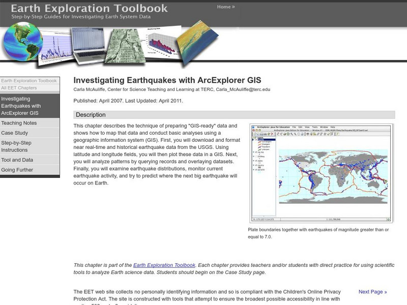
Serc: Investigating Earthquakes With Arc Explorer Gis
This activity allows students to predict future earthquake activity by interpreting the results of geographic information system (GIS) analysis.
American Geosciences Institute
American Geosciences Institute: Earth Science Week: Global Gis Lesson: Exploring North American Earthquakes
In this series of lessons, students use Geographic Information Systems (GIS) together with the tools and data from the North America Global GIS CD to investigate earthquakes, volcanoes, and population from a local to global scale....
TeachEngineering
Teach Engineering: Earthquake Formation
Young scholars learn about the structure of the earth and how an earthquake happens. In one activity, students make a model of the earth including all of its layers. In a teacher-led demonstration, young scholars learn about continental...
Incorporated Research Institutions for Seismology
Iris: Earthquake Magnitude Modeling With Pasta Quake
Using only strands of spaghetti, you and your class can explore the amount of energy released for each level of the earthquake magnitude scale.
TeachEngineering
Teach Engineering: Seismic Waves: How Earthquakes Move the Earth
Students learn about the types of seismic waves produced by earthquakes and how they move the Earth. The dangers of earthquakes are presented as well as the necessity for engineers to design structures for earthquake-prone areas that are...
Other popular searches
- Volcanoes and Earthquakes
- Earthquakes and Epicenter
- Web Quest Earthquakes
- Plotting Earthquakes
- Volcanoes Earthquakes
- Earthquakes Epicenters
- Earthquakes Lesson Plans
- Earthquakes California
- Earthquakes and Tsunamis
- Earthquakes Kwl Chart
- Earthquakes Historical
- Videos About Earthquakes


