Choices Program, Brown University
Choices: Teaching With the News: The Haitian Crisis: Thinking Historically
Lesson from 2010 using multi-media resources, including video, audio, and primary sources which challenge students to think beyond the earthquake and consider the role of Haiti's rich history in the crisis.
Other
Digital Library for Earth System Education: Teaching Box: Mountain Building
A suite of lessons focusing on all aspects of how mountains are formed. Inquiry-based exploration of mountain building includes the rock cycle, mountain formation, plate tectonics, earthquakes, volcanoes, erosion, rocks, minerals, and...
Science Buddies
Science Buddies: Liquefaction & Seismic Activity
Earthquake damage can be intensified in areas that are subject to soil liquefaction. For example, in these areas, soil movement may cause foundations to collapse, while structures in nearby areas built on more stable soil or bedrock may...
PBS
Pbs: Earth Science Exploration
An earth science collection where learners can explore earthquakes, volcanoes, and more natural phenomena. The collection uses videos and interactive activities to investigate our dynamic planet and earth systems.
PBS
Nova Teachers: The Day the Earth Shook: Classroom Activity
Challenge your students to design a building that will withstand an earthquake. Using materials like 3x5 cards and paperclips, students design three different buildings and test their effectiveness.
Purdue University
Purdue University: An S and P Wave Travel Time Simulation
A classroom simulation modeling how earthquake waves travel through Earth at different speeds. A graph is constructed to demonstrate the relationship between the distance and time of travel of seismic waves, and then used to locate the...
Indiana University
Indiana University Bloomington: Modeling Liquefaction [Pdf]
This activity allows students to observe a small-scale model of liquefaction, a hazard associated with strong-magnitude earthquakes. The sand, water, and ping pong ball(s) represent the composites of soil: sediment, water, and air,...
American Geosciences Institute
American Geosciences Institute: Earth Science Week: Seismic Calendar
Learners investigate how often earthquakes of various magnitudes happen within specific geographic regions.
Other
Teaching Social Responsibility: Teachable Moment: Japan's Nuclear Power Debate
Readings and news articles provide information on the debate over nuclear energy. In particular, the questions being raised due to the crisis in Japan after the earthquake and tsunami in March, 2011.
Science Education Resource Center at Carleton College
Serc: Impact of Natural Disasters on the Earth
Through demonstrations and other research, students explore the impact of various natural disasters on the earth. The disasters include floods, tornadoes, hurricanes, volcanoes, and earthquakes.
Science Education Resource Center at Carleton College
Serc: Writing to Support the Theory of Plate Tectonics
This lesson helps students use images that depict earthquakes, seafloor ages, topography, and volcanoes, and then make a scientific argument supporting the Theory of Plate Tectonics.
TryEngineering
Try Engineering: Shake It Up With Seismographs
During this lesson, students learn how seismographs work and how technology has impacted the world by helping save lives from earthquakes. They will work in teams to design, test, and evaluate the results of their own seismographs, then...
TeachEngineering
Teach Engineering: Naturally Disastrous
Students are introduced to natural disasters, and learn the difference between natural hazards and natural disasters. They discover the many types of natural hazards - avalanche, earthquake, flood, forest fire, hurricane, landslide,...
Incorporated Research Institutions for Seismology
Iris: How Hard Does the Ground Shake During a Quake?
This activity asks students to demonstrate how hard they think the ground shakes during an earthquake.
Incorporated Research Institutions for Seismology
Iris: Demonstrating Building Resonance Using the Simplified Boss Model
Students demonstrate and describe the role of building resonance when assessing earthquake hazards for an urban region.
Science Education Resource Center at Carleton College
Serc: Fairly Simple Geology Exercises
A collection of geology exercises which include relevant background information, complete instructions, student handouts, and answer keys. Topics include rock and mineral identification, Bowen's reaction series, crystal models,...
PBS
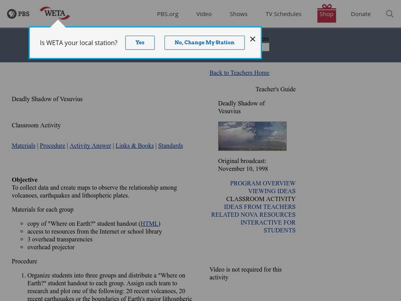
Pbs Teachers: Deadly Shadow of Vesuvius
Observe the relationship among volcanoes, earthquakes and lithospheric plates by collecting data and creating maps. This activity was created to be used with the NOVA program, "Deadly Shadow of Vesuvius" but the video is not necessary...
National Association of Geoscience Teachers
Nagt: Discovering Plate Boundaries
Students work collaboratively using data maps to discover plate tectonic boundary processes. Data sets used are earthquakes, volcanoes, seafloor age, and topography.
Better Lesson
Better Lesson: Interpreting Live Data
Students will be using live data about volcanoes and earthquakes to look for patterns and understand why natural disasters may or may not be able to be predicted. Resources include helpful websites, a video of the lesson in action,...
American Geosciences Institute
American Geosciences Institute: Earth Science Week: Mapping Quake Risk
Students use GIS to observe worldwide patterns of earthquakes and volcanoes and analyze the relationships of those patterns to tectonic plate boundaries. Then they identify cities at risk.
Indiana University
Indiana University Bloomington: Foldable Fault Blocks [Pdf]
In this lesson, students will create three-dimensional (3-D) blocks out of paper to learn about the types of faulting that occur at the Earth's surface and its interior. Students will manipulate three fault blocks to demonstrate a normal...
Science Education Resource Center at Carleton College
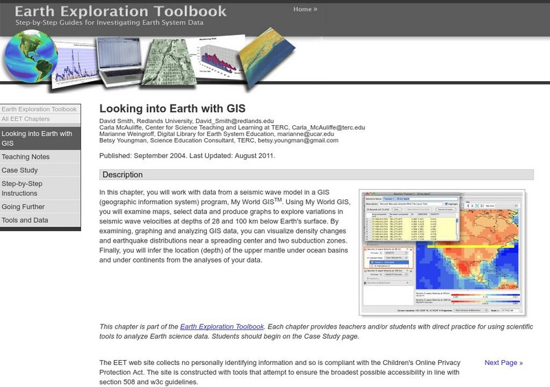
Serc: Looking Into Earth With Gis
Multi-lesson activity where students will work with data from a seismic wave model in a GIS (geographic information system) program. They will examine maps, select data, and produce graphs to explore variations in seismic wave velocities...
Science Education Resource Center at Carleton College
Serc: Plate Kinematics
In this activity, students will observe and understand the basic kinematics of plate movement, how oceans are formed during continental rifting, and the relationship between plate geometry and tectonic data such as earthquakes, heat...
Science Education Resource Center at Carleton College
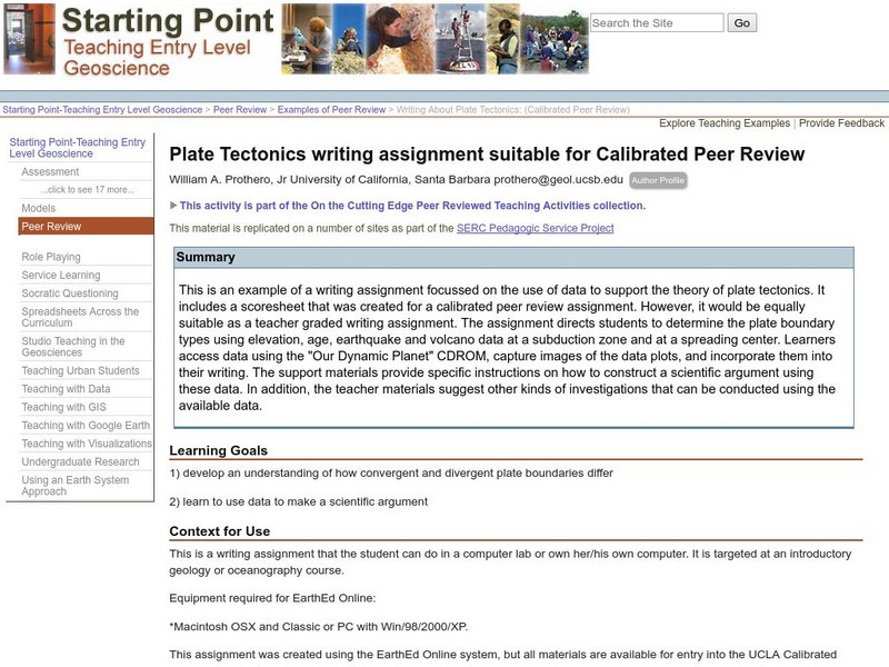
Serc: Writing About Plate Tectonics
This lesson plan is a writing assignment focussed on the use of data to support the theory of plate tectonics. It includes a scoresheet that was created for a calibrated peer review assignment. The assignment directs students to...
Other popular searches
- Volcanoes and Earthquakes
- Earthquakes and Epicenter
- Web Quest Earthquakes
- Plotting Earthquakes
- Volcanoes Earthquakes
- Earthquakes Epicenters
- Earthquakes Lesson Plans
- Earthquakes California
- Earthquakes and Tsunamis
- Earthquakes Kwl Chart
- Earthquakes Historical
- Videos About Earthquakes


