Science Education Resource Center at Carleton College
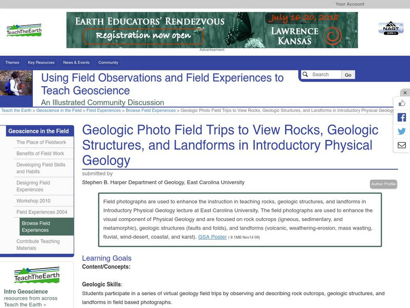
Serc: Geologic Photo Field Trips for Introductory Physical Geology
Students participate in a series of virtual geology field trips by observing and describing rock outcrops, geologic structures, and landforms in field based photographs.
Science Education Resource Center at Carleton College
Serc: Global Land Vegetation
This Global Land Vegetation module is one of four Studying Earth's Environment from Space modules. It consists of three sections: class resources, computer lab resources, and a glossary and acronym List.
Science Education Resource Center at Carleton College
Serc: Geo Blocks 3 D Interactive 3 D Geologic Blocks
This interactive tutorial on visualizing geologic features contains animated block diagrams that show how the surface expressions of dipping layers, folds, igneous intrusions, and faults are related to subsurface structure and cross...
Other
Bscs: Bscs Science Teaching Video Library
Elementary teachers have an urgent need for high-quality science classroom videos. To respond as rapidly as possible, BSCS Science Learning has made some of our best K-12 videos available for free streaming. In this collection, you'll...
Annenberg Foundation
Annenberg Learner: Earth and Space Science: Restless Landscapes
Material to begin an exploration of the sand formation, landforms, and underground water. An hour-long video is accompanied by learning goals, an outline and overview, details on the ice ages, glaciers, and glacial landforms, and ideas...
CK-12 Foundation
Ck 12: Earth Science: Map Projections
[Free Registration/Login may be required to access all resource tools.] How to use topographic, bathymetric, and geologic maps.
CK-12 Foundation
Ck 12: Earth Science: Maps
[Free Registration/Login may be required to access all resource tools.] How to use topographic, bathymetric, and geologic maps.
CK-12 Foundation
Ck 12: Earth Science: Maps
[Free Registration/Login may be required to access all resource tools.] How to use topographic, bathymetric, and geologic maps.
PBS
Pbs Learning Media: Earth's Systems: Map It
Explore different types of maps and how different things are represented on maps in this media gallery from WGBH. Maps are used to help locate different places and different things. Map symbols are representations of larger things in the...
PBS
Pbs Learning Media: Hurricane Matthew Causes Weathering and Erosion
View videos and photos from the aftermath of Hurricane Matthew and see how the earth's landforms changed as a result of the heavy winds and rain. Weathering and erosion made a new landform and dramatically changed the coastline....
Georgia Department of Education
Ga Virtual Learning: Geology: Surface Processes
In this interactive tutorial, you will learn about the types of weathering and erosion that rocks and landforms undergo. This will lead to a discussion of soil and the types of soil. Lastly, you will learn about mass movements of soil,...
Enchanted Learning
Enchanted Learning: The Continents
Brightly colored printouts, maps, and graphics on the greatest land masses on earth. See how continental drift works, look up extremes, label maps, learn about latitude, longitude and other geography terms. Teachers will find a Landforms...
Scholastic
Scholastic: Study Jams! Science: Weathering & Erosion
A video and a short multiple-choice quiz on the topic of weathering and erosion, what they are, and how they alter the Earth's surface.
Australian Museum
Australian Museum: Structure of Volcanoes
A comprehensive site covering everything from volcanic structures to pyroclastic materials. View pictures of major volcanic landforms, and volcanic rocks.
Scholastic
Scholastic: Study Jams! Science: Lithosphere, Hydrosphere, and Atmosphere
A slideshow and a short multiple-choice quiz on the rock surface of the Earth, its water, and the gas layers that surround it.
Curated OER
Landforms
Illustrated article describing how landforms are formed. Topics include tectonic forces, gradational forces, and age of the earth. There is a quiz at the end to test your comprehension.
Curated OER
Landforms
Illustrated article describing how landforms are formed. Topics include tectonic forces, gradational forces, and age of the earth. There is a quiz at the end to test your comprehension.
Curated OER
Landforms
Illustrated article describing how landforms are formed. Topics include tectonic forces, gradational forces, and age of the earth. There is a quiz at the end to test your comprehension.
Curated OER
Landforms
Illustrated article describing how landforms are formed. Topics include tectonic forces, gradational forces, and age of the earth. There is a quiz at the end to test your comprehension.
Curated OER
Landforms
Illustrated article describing how landforms are formed. Topics include tectonic forces, gradational forces, and age of the earth. There is a quiz at the end to test your comprehension.
Curated OER
Landforms
Illustrated article describing how landforms are formed. Topics include tectonic forces, gradational forces, and age of the earth. There is a quiz at the end to test your comprehension.
Geographypods
Geographypods: Theme 2: Natural Environments
A rich collection of highly engaging learning modules on topics related to the natural environment. Covers four main areas - plate tectonics, forms and processes, weather and climate, and rainforest and desert. Within each of these,...
Quia
Quia: Geography World: Landform Concentration
Play this fun game of Geography Concentration to practice your geography vocabulary and increase learning. After each game the cards change and new words and definitions are introduced. Users must enable JavaScript.
TeachEngineering
Teach Engineering: Sea to Sky
In this lesson, students learn about major landforms (e.g., mountains, rivers, plains, valleys, canyons and plateaus) and how they occur on the Earth's surface. They learn about the civil and geotechnical engineering applications of...
Other popular searches
- Pictures of Earths Landforms
- Earths Landforms Reading
- Earths Landforms in Us
- Earths Landforms Answers
- Introducing Earths Landforms
- Earths Landforms in u.s.
- Landforms on Earth's Surface


