Curated OER
Paper Mache Globes
Third graders create a paper mache model of the earth. At the conclusion of a discussion about the earth, they are given paper mache materials, they create their globe and appropriately draw and label landforms, bodies of water and the...
Curated OER
Pangaea Puzzle
Students explore plate tectonics and the formations of the Earth's surface and why maps are distorted. In this Earth's surface lesson students complete a lab and answer questions.
Curated OER
A Model of Earth's Atmosphere
Middle schoolers make a model of the four layers of Earth's atmosphere that represents the characteristics of each layer.
Curated OER
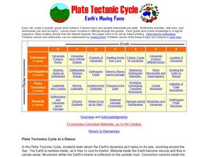
Plate Tectonic Cycle
Students explore the Earth's movements by completing worksheets. In this plate tectonics lesson plan, students define such natural disasters as volcanoes, earthquakes, tsunamis and mudslides and discuss their connections to plate...
Curated OER
Continents and Oceans on the Move
Learners create an awareness of the vast percentage of water covering the earth. They relate similarities/differences between topographical maps and other maps of various time periods. Students examine how to use a topographical map.
Curated OER
The Volcano Factory
Collaborative groups work together to report on the volcanic activity leading to island formation and construct models to demonstrate the process. Consider having each group present their project to the rest of the class. There are many...
Curated OER
My Friend, the Volcano
Working in cooperative groups, young scientists research and report on how undersea volcanic activity may benefit marine ecosystems. There are many links to websites that you can use to stimulate curiosity or for pupils to use for...
National Wildlife Federation
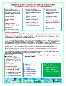
Is It Getting Hot in Here, or Is It Just Me?
Currently, only 2.1% of global warming is felt on continents, while over 93% is felt in the oceans. The fourth lesson in the series of 21 on global warming is composed of three activities that build off one another. In the first...
Curated OER
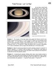
Tidal Forces-Let'er Rip!
For this tidal forces worksheet, students read about the gravitational pull from the moon that causes the ocean tides. Students solve 3 problems including finding the Roche or the tidal radius for the Earth and Moon, comparing the Roche...
Curated OER
Watercolor Ways
Students investigate the concept of being part of a global community. In this global community lesson, students learning the definition of stewardship as it relates to taking care of the Earth. They listen to the lyrics of the song,...
Curated OER
Map Puzzles
Young scholars make puzzles from world maps, dramatizing how much of the globe is covered by ocean.
Curated OER
Modelling Ocean Currents
Students construct a replica of the Atlantic ocean given certain parameters. In this earth science lesson, students draw their own map of ocean currents. They answer questions related to the activity.
Curated OER
Seafloor Spreading
In this seafloor spreading worksheet, students use 12 given terms to complete sentences about the layers of the Earth and the components of the layers of the Earth.
Curated OER
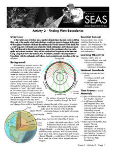
Recent Volcanoes And Earthquakes:
Students investigate the current model for the structure of the Earth. On a world map, they mark areas where they think earthquakes and volcanoes occur and compare those areas with earthquake and volcano location patterns.
Curated OER
A Book Is A Window To the World
Second graders listen to pieces of literature that take place in different regions of the world. Using a map, they identify and locate the continents and oceans mentioned in the story. They describe the physical and human characteristics...
Curated OER
Garb and Grub Across the Globe
First graders discuss what part of the world their ancestors came from. They locate the locations on a map and discuss the differences and similarities of each continent and their people. They become familiar with the traditional...
Curated OER
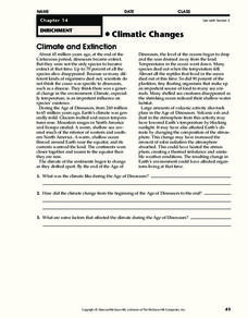
Climatic Changes
In this weather worksheet, students read an excerpt describing the climate and extinction. Then they explain what the climate was like during the Age of Dinosaurs. Students also determine some factors that affected the climate during...
Curated OER
Introduction to the World Globe
Students examine a globe and the world map to see what constitutes the differences. In this world map introductory lesson, students discuss what they see when they view the globe. Students then, look at a world map and compare the...
Curated OER
Earth: The Water Planet
Students elicit data on the water cycle, ocean topography, and island formation in this six lesson unit. The ocean floor and the properties of water are examined through a variety of discussions and hands-on experiments.
Curated OER
Earth and Space Science: Exploring Earthquakes
Students explore earthquakes. In this earthquake instructional activity, students research earthquakes and identify where they take place. Students use map skills to track down earthquake locations. There are internet sites suggested in...
NOAA
Please Pass the Salt
Salinity is the focus of two experimenters that work to answer the question, How does salt change the physical properties of water? Super scientists compare the freezing rate of salt and fresh water, combine the two waters to observe how...
Space Awareness
Continental Climate and Oceanic Climate
There's nothing better than a cool breeze blowing in from the ocean. Scholars explore how water affects change in temperature using a hands-on experiment on climate. They use measurement tools to compare the continental and oceanic...
Curated OER
Water, Water Everywhere, and Nary a Drop to Drink!
Students sing the continent song and locate oceans between the continents on a map. They read "They Earth is Mostly Ocean" and copy notes into their journals. They watch a demonstration of water and saltwater evaporated to see what is...
Curated OER
We've got the whole world in our hands
Students explore spatial sense in regards to maps about the globe. In this maps lesson plan, students label oceans, locate the continents and poles, follow directions, and explain the symbols on a map.


