Columbia University
Columbia University: East Asia in Geographic Perspective
Process, Patterns, and Functions of Human Settlement
Columbia University
Columbia University: East Asia in Geographic Perspective
How forces of cooperation and conflict among people influence the division and control of earth's surface.
Columbia University
Columbia University: East Asia in Geographic Perspective:standard 14
Human actions that modify the physical environment
Columbia University
Columbia University: East Asia in Geographic Perspective
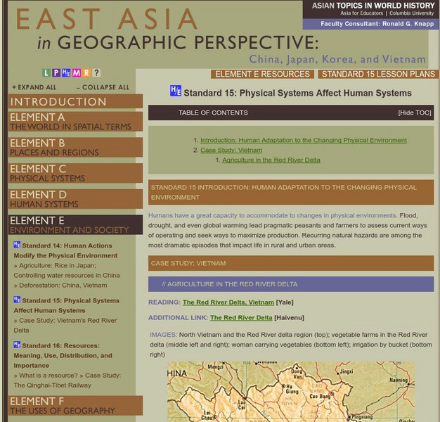
Humans have a great capacity to accommodate to changes in physical environments. Flood, drought, and even global warming lead pragmatic peasants and farmers to assess current ways of operating and seek ways to maximize production....
Science Struck
Science Struck: A Complete List of All the Countries in Asia
Lists the 49 countries in Asia and their capitals, organized by geographical region.
Georgia Department of Education
Ga Virtual Learning: World Geography: Eastern Asia
World Geography learning unit on Eastern Asia considers questions about population, foreign relations and production of goods. Comprehensive multi-media course materials.
Ducksters
Ducksters: Geography for Kids: East Timor
Kids learn East Timor on this site. The history, capital, flag, climate, terrain, people, economy, and population are all discussed.
British Library
British Library: The East India Company and Asia 1600 1800
Learn about the trade routes and products upon which both Europe and Asia depended. English and Dutch trading companies were formed to transport valued goods half way around the world. Maps are included.
Ducksters
Ducksters: Geography for Kids: Korea, South
Kids learn about the geography and history of South Korea on this website.
Globe Tracks
Travel for Kids: Bali
Find out what there is for kids to do when you travel to Bali! Areas covered include South Bali, East Bali and North Bali.
Globe Tracks
Travel for Kids: Malaysia
"Malaysia comes in two parts, Peninsular Malaysia, and East Malaysia, on the northern edge of Borneo. Throughout Malaysia you'll find warm, friendly people, unusual wildlife, pristine tropical rainforests and beaches." Use this site to...
National Geographic Kids
National Geographic Kids: Israel
Click-through facts-and-photo file about Israel's geography, nature, history, people and culture, and government. Includes a map of the country that pinpoints its Middle East location.
National Geographic Kids
National Geographic Kids: Iraq
Click-through facts-and-photo file about the geography, nature, history, people, culture, and government of Iraq. Includes a map of this Asian country that pinpoints its location in the Middle East.
Nations Online Project
Nations Online: Timor Leste
Features a travel guide and country profile of the Southeast Asian nation of Timor-Leste including a broad overview and numerous links to comprehensive information on the islands' culture, history, geography, economy, environment,...
Other
Harper College: North Africa/ Sw Asia Map Tutorial
Quiz yourself on the physical geography of Southwest Asia and North Africa by using this tutorial to Check your knowledge of landforms, bodies of water, and rivers in this area of the world.
National Geographic Kids
National Geographic Kids: Iran
Welcome to Iran! Follow this interactive overview of the country's history, geography, people, government, nature, and more. A map and video are included.
CK-12 Foundation
Ck 12: Epsid World Geo 2019
Flexbooks 2.0 are interactive, customizable, digital textbooks. Flexbooks are standards-aligned. Flexi, a student tutor, is integrated into each book to guide you on your learning journey. Flexi can assist in learning, answer questions,...
Central Intelligence Agency
Cia: World Factbook: Regional and World Maps
Maps of major areas of the world can be downloaded here. The maps have excellent detail and are in color.
Ducksters
Ducksters: Geography for Kids: Korea, North
On this site, students can learn about North Korea's history, capital, flag, climate, terrain, people, economy, and population.
Ducksters
Ducksters: Geography for Kids: Mongolia
On this website, students can learn about the history, capital, flag, climate, terrain, people, economy, and population of Mongolia.
Ducksters
Ducksters: Geography for Kids: Taiwan
This site explores the history, capital, flag, climate, terrain, people, economy, and population of Taiwan.
Columbia University
Asia for Educators: Outline Maps
The outline maps are designed to be used as transparencies that can be overlaid on an overhead projector to demonstrate the diversity of China's physical and cultural geography. Copies can be printed out and reproduced also for student...
National Geographic Kids
National Geographic Kids: Afghanistan
Afghanistan is located in Central Asia with Iran to the west and Pakistan to the east. Tall, forbidding mountains and dry deserts cover most of the landscape of Afghanistan. The jagged mountain peaks are treacherous and are snow covered...
Nations Online Project
Nations Online: Vietnam
Offers a virtual destination guide and profile of the south-east Asian nation of Vietnam, background details, and numerous links to key information on the nation's culture, history, geography, economy, environment, population, news,...


