Curated OER
East Asia Country Project
Get your young historians thinking about East Asian culture and history during this partner research project, in which they analyze a variety of East Asian aspects to prepare for a presentation. After an initial "what do we already know"...
Curated OER
Using Charts and Graphs to Study East Asia's Modern Economy
Students examine East Asia's modern economy. In groups, classmates use the internet to compare the resources, products, and economy of specified countries. After collecting the data, pupils create charts, tables and graphs. They...
Curated OER
The Road Map & the Middle East
Will walls help? Read to learn how Prime Minister Ariel Sharon proposes to build walls around Isreal in hopes of isolation from Palestine. Complete an online Webquest, analyze maps, listen to audio clips, answer discussion questions, and...
Curated OER
Classroom Conservation of East Asian Culture
Learners study East Asian culture. They examine the similarities and differences between East Asian and European history and culture. They produce project presentations to "teach" their classmates about very specific cultural traits...
Curated OER
Geography and Culture of China
Take out a map, a paper, a ruler, and those coveted colored pencils for a lesson on Chinese culture and geography. This is a multifaceted approach to basic geography skills that incorporate story telling, class discussion, primary source...
Curated OER
Exploring Nations
Pupils, in groups, research countries in East and Southeast Asia. The group designs an oral presentation and PowerPoint slideshow to showcase research on landforms, political and economic issues, global interaction and special-purpose maps.
Curated OER
Understanding "The Stans"
Students explore and locate "The Stans" in Central Asia to create, write and illustrate maps, graphs and charts to organize geographic information. They analyze the historical and physical characteristics of Central Asia via graphic...
Curated OER
World Map Labels
In this geography skills worksheet, students identify the countries and bodies of water labelled on the maps of the world, Africa, Asia, Canada, Europe, the Caribbean, the Middle East, North America, Australia, and South America.
California Polytechnic State University
Australian Geography Unit
At the heart of this resource is a beautifully detailed PowerPoint presentation (provided in PDF form) on the overall physical geography of Australia, basic facts about the country, Aboriginal history, and Australia culture and lifestyle.
Mr. Head's 6th Grade Classroom
Absolute Location
How do we know where we are in the world? A presentation for middle schoolers explains absolute location and other geography terms such as relative location. It also gives scholars the opportunity to practice finding absolute location on...
Curated OER
Maps that Teach
Students study maps to locate the states and capital on the US map. Students locate continents, major world physical features and historical monuments. Students locate the provinces and territories of Canada.
Curated OER
Renaissance Trade and Exchange
Sixth graders map out trade routes. In this Renaissance time period lesson, 6th graders complete a Christopher Columbus Map Activity, discuss and identify the parts of a map, and locate Asia, Europe and the Middle East. Students...
Curated OER
Where In the World Am I?
Learners identify their location in the world after studying latitude, longitude, relative location, and absolute location. They use assigned web site to find information to make a flipbook that answers questions about their location in...
Curated OER
Trade in the Silk Road Cities
Students use Google Earth to map cities along the Silk Road trade route. In this Silk Road trading lesson, students complete a worksheet examining production, transportation, and value of goods and research trade items. Students create a...
Curated OER
How Do You Get To Korea?
Learners examine the differences between Korea and the United States. In groups, they identify the physical and political characteristics of Asia and discuss how the geographic features in Korea affect the activities performed there. ...
Curated OER
Conditions in And Connections To Indonesia
Eleventh graders research an animal and its habitat, the conditions of that habitat and how its connections to the rest of the world are affecting that habitat.
Curated OER
"Tsunamis"
Students visit a PBS Website about tsunamis to consider their causes, effects and steps countries have taken to try to defend against them. They answer questions and create a brochure explaining tsunami facts and procedures to survive a...
Curated OER
Networking at Early James Fort
High schoolers examine the impact of global trade on regional civilizations of the world after 1500. They research and analyze images of pottery excavated at Jamestown, and create a poster that presents information about world trade...
Other
Harper College: North Africa/ Sw Asia Map Tutorial
Quiz yourself on the physical geography of Southwest Asia and North Africa by using this tutorial to Check your knowledge of landforms, bodies of water, and rivers in this area of the world.
Columbia University
Asia for Educators: Outline Maps
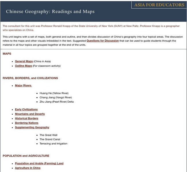
The outline maps are designed to be used as transparencies that can be overlaid on an overhead projector to demonstrate the diversity of China's physical and cultural geography. Copies can be printed out and reproduced also for student...


