Curated OER
Blank Europe Outline Map
In this blank outline map worksheet, students explore the political boundaries of the continent of Europe and those of the countries located there. This map may be used in a variety of classroom activities.
Curated OER
Blank Europe Outline Map 2
In this blank outline map worksheet, students explore the political boundaries of the continent of Europe and those of the countries located there. This map may be used in a variety of classroom activities.
Curated OER
Europe Outline Map
In this outline map instructional activity, students examine the political boundaries of the continent of Europe. The map may be used in variety of activities that individual teachers create to accompany it.
Curated OER
Europe Map
In this blank outline map worksheet, students explore the political boundaries of the continent of Europe. This map may be used in a variety of classroom activities.
Curated OER
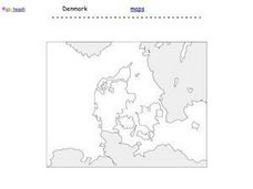
Denmark Outline Map
In this blank outline map learning exercise, students explore the political boundaries of Denmark located in Europe. This map may be used in a variety of classroom activities.
Curated OER
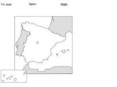
Spain Outline Map
For this blank outline map worksheet, students explore the political boundaries of Spain located in Europe. This map may be used in a variety of classroom activities.
Core Knowledge Foundation
Year 2: Northern Europe
How is life in Northern Europe different from other areas of the world? Historians journey through the various regions of Northern Europe discovering what type of climate, animals, and lifestyles exist in that section of the world. They...
Curated OER
Identifying, Mapping, and Personifying Countries Involved in WWII
Get artsy with this WWII group activity, starting with a whole-class assignment. Create a map of Europe, Northern Africa, and the Pacific using geometric shapes cut from construction paper and placed on the floor. Consider splitting the...
Curated OER
Romania
In this blank outline map worksheet, students explore the political boundaries Romania located in Europe. This map may be used in a variety of classroom activities.
Curated OER
Countries Involved in World War II
Students create their own floor map of Europe, Northern Africa, and the Pacific. They locate, identify, and speak for one of the countries involved. In addition, they classify the country they represent as an Axis Power or as an Allied...
Curated OER
Where Is Rome?
Third graders discover Ancient Rome through maps and worksheets. In this world history lesson, 3rd graders locate Rome on a world map and identify the scope of the Roman Empire. Students label an entire map of Italy after printing one...
Curated OER
Mapping Population Changes In The United States
Students create a choropleth map to illustrate the population growth rate of the United States. They explore how to construct a choropleth map, and discuss the impact of population changes for the future.
Curated OER
European Integration: Who and Why?
This French IV-V lesson addresses European integration into the European Union. French language learners research, discuss, and present in the target language. Online research, discussion, and presentations will take approximately 5-7...
Curated OER
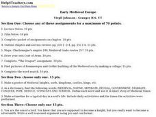
Early Medieval Europe
Students engage in a host of activities during an examination of early Medieval Europe. They draw coats of arms, make collages of architectural designs, and create posters of knights, serfs, and castles. Students role-play as sons of...
Curated OER
Renaissance Trade and Exchange
Sixth graders map out trade routes. In this Renaissance time period lesson, 6th graders complete a Christopher Columbus Map Activity, discuss and identify the parts of a map, and locate Asia, Europe and the Middle East. Students...
Curated OER
EU and Turkey
Should Turkey be admitted to the European Union? Before debating this question, class members research the background and stated purpose of the EU, read articles of Turkey's bid to become a member of the EU, and the concerns other...
Curated OER
What They Left Behind: Early Multi-National Influences in the United States
Students examine how the European voyages of discovery influence American culture even today. They map eighteenth century Europe's impact on the United States.
Curated OER
Continents
Students investigate World Geography by researching the different continents. In this Asian Geography lesson, students discuss the continent of Pangaea and color a worksheet of the continents. Students locate China on the map worksheet...
Curated OER
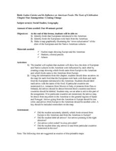
Immigration: Creating Change
Students explore how immigration has changed the culture of America. After identifying the foods and diets of Europeans and Native cultures, students create a map indicating where foods came from. Students design a restaurant menu,...
Curated OER
European Integration: Who and Why?
Students use the internet to research facts about the members of the European Union. In groups, they use their information to develop a presentation and a fact sheet. They must identify the positives and negatives of their European...
Curated OER
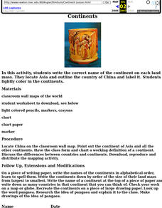
Continents Lesson
Fourth graders write the correct name of the continent on each land mass. They locate Asia and outline the country of China and label it. They lightly color in the continents.
Curated OER
Product Line
Students research products imported from Europe and use a map to show the routes the products might have followed to reach this country. They take a field trip to a store that carries imported products and take note of how many come from...
Curated OER
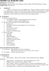
Medieval Knight Life
Students research the Middle Ages. In this Middle Ages lesson, students complete lessons about feudalism, life on a manor, chivalry and knighthood, an activity about the Battle of Hastings, the growth of Middle Age towns, the trial by...
Curated OER
Conquering North America
Students create a study guide on colonization of North America. In this American Colonization lesson, students complete a chart of explorers and their conquests. Students complete a crossword puzzle using explorer facts. Students read...


