Curated OER
Northwest Hawaiian Islands
Students compare and contrast places around the world. Students analyze the effects of human activity on the physical environment and devise plans to address the consequences. Students also focus on geographical topics such as formation...
Curated OER
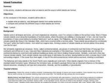
Island formation
Students explain what an island is, and distinguish islands from similar landforms. They compare and contrast the different ways in which islands are formed.
Curated OER
Roots of the Hawaiian Hotspot
Learners explain the processes of plate tectonics and volcanism that resulted in the formation of the Hawaiian Islands. They describe, compare, and contrast S waves and P waves. They explain how
Curated OER
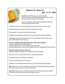
Bellwork for Week 10
In this bellwork worksheet, students answer questions about the Hawaiian islands formation, about science class in general, about rocks and minerals and about experimental design.
Curated OER
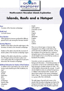
Islands, Reefs, and a Hotspot
Learners describe eight stages in the formation of islands in the Hawaiian archipelago. They examine the movement of tectonic plates in the Hawaiian archipelago region, and describe how plate movement produced the Hawaiian archipelago.
PBS
Breaking it Down
After challenging themselves to correctly choose the form of erosion and length of time required for a given landform to develop, earth science class members model mechanical and chemical weathering with various lab demonstrations over...
Curated OER
Island Formation
Students create models of how islands are formed by hot spots and then write a summary of their observations and of how they think their model relates to volcanic hot spots and island formation.
Curated OER
How Volcanoes Grow
Learners study volcanoes including rock fragments, ash, aerosols and gases. In this volcano instructional activity students divide into groups and build models of the three major types of volcanoes.
NOAA
Into the Deep
Take young scientists into the depths of the world's ocean with the second activity of this three-part earth science series. After first drawing pictures representing how they imagine the bottom of the ocean to appear, students...
Curated OER
Hawaiian Hot Spots
Students describe how plate tectonics contribute to the development of volcanoes. In this earth science lesson, students examine the map of Hawaii and explore the physical and biological environment there. They write a story about an...
Curated OER
Roots of the Mariana Arc
Plumb the depths of the Submarine Ring of Fire and explore seismic waves with this lesson. Junior geologists simulate s-waves and p-waves, calculate their speeds, and then apply the data to discover the material that makes up inner...
Mr. E. Science
Volcanoes
What is the difference between a shield volcano and a cinder cone volcano? How does the flow of lava influence the type of rock that's formed? A presentation on different aspects of volcanoes answers these questions for middle school...
Curated OER
Navigating Change
Students participate in different activities to discover how they relate to the environment. They watch a video series and answer comprehension questions. They discuss what they can do to protect the environment.
Curated OER
Plate Tectonics
Students research separate elements of the theory of Plate Tectonics, then share that information with each other, drawing conclusions from the culminated information.
Science Education Resource Center at Carleton College
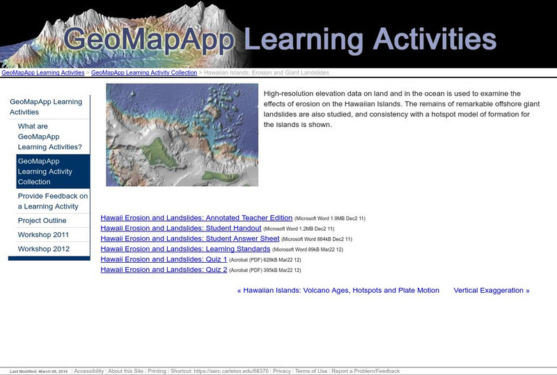
Serc: Hawaiian Islands: Erosion and Giant Landslides
High-resolution elevation data on land and in the ocean is used to examine the effects of erosion on the Hawaiian Islands. The remains of offshore landslides are also studied, and consistency with a hotspot model of formation for the...
Science Education Resource Center at Carleton College
Serc: Hawaiian Islands: Volcano Ages, Hotspots and Plate Motion
The ages of volcanic rocks are used to investigate speed of motion of the Pacific plate, to analyze the distinctive bend in the chain, and to consider the age data in the context of a hotspot model of formation.
US Geological Survey
U.s. Geological Survey: Hotspots: Mantle Thermal Plumes
Learn more about the hot spot theory developed in 1963 by the Canadian geophysicist J. Tuzo Wilson. Diagrams help you visualize the way hot spots formed geologic structures such as the Hawaiian Islands.
University of Hawai'i
University of Hawaii: Hawaii Center for Volcanology
This is the home page for the Hawaii Center for Volcanology. Look through this site and virtually visit the different volcanoes in Hawaii. Also provides a description of the formation of the Hawaiian Islands from volcanic activity.
PBS
Pbs Learning Media: Water Erosion
In this video from Nature, learn about the erosive action of water on the Hawaiian landscape and human efforts to limit it.


