American Geosciences Institute
American Geosciences Institute: Earth Science Week: Exploring 'Wild' Places With Gis
This lesson plans uses Geographic information systems (GIS) technology to explore the local geography.
Other
Esri Gis Education Community
Educators can incorporate ESRI GIS into their classroom to enrich geography lessons and use this community to trade ideas with other educators.
University of Colorado
University of Colorado: Error, Accuracy, & Precision
A serious paper by serious geographers, discussing at full length the problems caused by error, inaccuracy, and imprecision in Geographical Information Systems. The definitive word in the real world.
Geographyiq
Geography Iq
Detailed geographical information on any country is available at this site. Within the World Map section, you can get facts and figures about each country's geography, demographics, government, political system, flags, historical and...
Other
21st Century Skills: Geography
This "roadmap" can show how Information and Communication Technology tools can be used to develop and enrich geography content instruction. Examples are given for 4th, 8th and 12th grades.
TeachEngineering
Teach Engineering: What's Wrong With the Coordinates at the North Pole?
Students complete a self-guided exercise in worksheet format combined with Google Earth that helps them explore practical and observable differences between different projection and coordinate systems. The activity improves their skills...
US Geological Survey
U.s. Geological Survey
The U.S. Geological Survey reports on the latest news affecting the earth today, as well as providing a wealth of data, reports, and information.
Information Technology Associates
Cia World Factbook: Slovakia Geography 2008
General geographic information on Slovakia, including natural resources and environmental issues.
BBC
Bbc: Bitesize Geography: Os Map Skills
A short tutorial on mapping tools and how to read maps. Covers features of maps, symbols, the compass, scale, distance, how height is represented, and grid references. Includes multiple-choice quiz at the end.
Other
Natural Resource Information Center: Maps of Montana
Resource contains 14 different maps of Montana in four different formats. Maps range anywhere from the county maps to the Indian reservation maps.
Other
Natural Resource Information Center: Maps of Montana
Resource contains 14 different maps of Montana in four different formats. Maps range anywhere from the county maps to the Indian reservation maps.
Travel Document Systems
Tds: Liberia: Geography
A graphic showing geographical information about Liberia. You can find out about its size, climate, land use, and terrain. Information is from the CIA World Fact Book.
Travel Document Systems
Tds: Sweden: Geography
Geographical and environmental information about Sweden. Information is from the CIA World Fact Book.
Travel Document Systems
Tds: Algeria: Geography
A discussion of the geography of Algeria. You can read about the three distinct geographic regions, the climate, and the natural hazards. Information from the CIA World Fact Book.
Travel Document Systems
Tds: Egypt: Geography
Overview of the geography of Egypt with information from the CIA World Fact Book. Learn about the terrain, climate, natural resources, environment, and importance of its geographic location.
University of Colorado
University of Colorado: Error, Accuracy, and Precision Exam
A university exam on the topics of error, accuracy, and precision. Includes essay, short answer, and multiple-choice. Links to lecture and discussion notes. Answers to short essay and multiple-choice are provided.
Travel Document Systems
Tds: Gibraltar: Geography
This listing of geographic facts about Gibraltar gives information on the size, natural resources, climate, terrain, and strategic importance. From CIA World Fact Book.
Other
David Rumsey Historical Map Collection
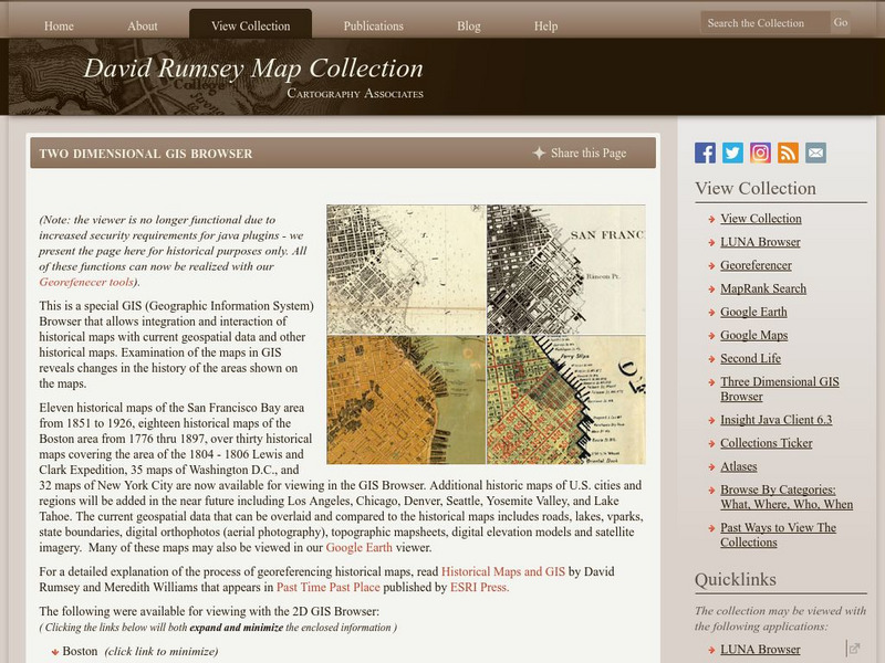
The collection of more than 150,000 maps focuses on rare 18th and 19th-century maps of North and South America, although it also has maps of the World, Asia, Africa, Europe, and Oceania. The collection includes atlases, wall maps,...
Other
Ordnance Survey: Map Zone
All kinds of fun and interesting ways to learn about maps and acquire mapping skills.
Other
Swiss World
This site from the Swiss government contains extensive geographical, cultural, historical, economic, social and political information about this mountainous, multilingual country. It contains extensive links to authoritative outside...


