NSTATE
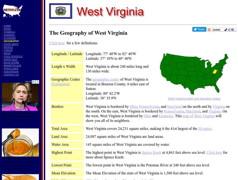
The Geography of West Virginia
Here you will find a variety of cool facts about the geography of the state of West Virginia. Find out the geographic center, total area, elevations and much more.
NSTATE
The Geography of Wisconsin
Here you will find a variety of cool facts about the geography of the state of Wisconsin. Find out the geographic center, total area, elevations and much more.
NSTATE
The Geography of Wyoming
Here you will find a variety of cool facts about the geography of the state of Wyoming. Find out the geographic center, total area, elevations and much more.
NSTATE
Net State: The Geography of Kansas
Here at NetState you will find a variety of cool facts about the geography of the state of Kansas. Find out the geographic center, total area, elevations and much more.
NSTATE
Netstate.com: The Geography of Arkansas
Quick facts about the geography of Arkansas including land area, highest and lowest points, elevations, lakes, rivers, regions, and climate.
US Census Bureau
U.s. Census Bureau: Gazetteer Files
The U.S. Gazetteer Files provide a listing of all geographic areas for selected geographic area types. The files include geographic identifier codes, names, area measurements, and representative latitude and longitude coordinates. There...
National Geographic
National Geographic: Introduction to Latitude and Longitude
In this lesson, students learn to determine the latitude and longitude of locations within the United States, while making observations about climate and the ways in which these measurements can be useful. Includes maps and discussion...
Johns Hopkins University
Johns Hopkins University: Arkansas State Maps
Learn more about the Arkansas' geography through the maps at this website from the Johns Hopkins University Applied Physics Laboratory. These maps give in depth information on the landforms found in Arkansas.
Johns Hopkins University
Johns Hopkins University: Arkansas State Maps
Learn more about the Arkansas' geography through the maps at this website from the Johns Hopkins University Applied Physics Laboratory. These maps give in depth information on the landforms found in Arkansas.
NSTATE
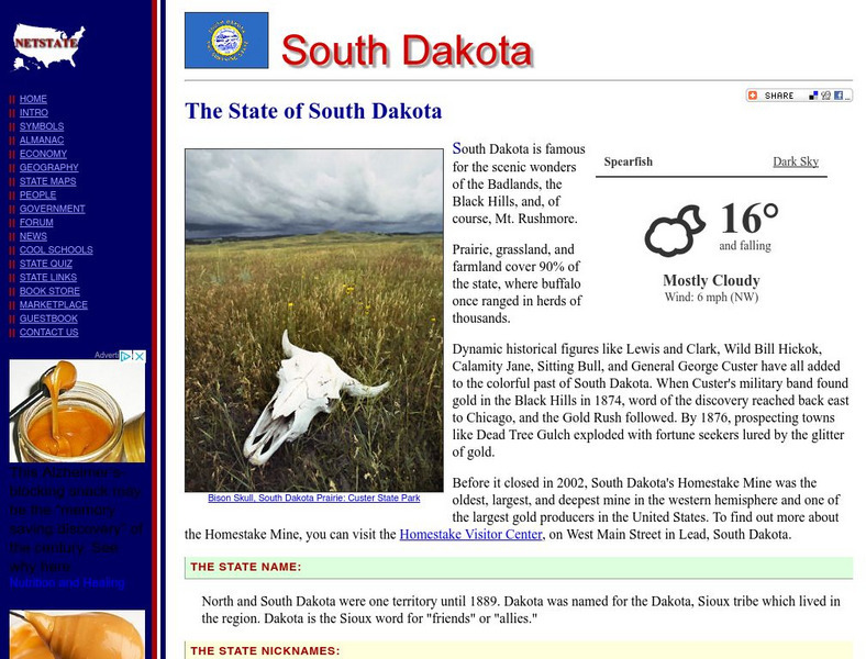
The Geography of South Dakota
Here you will find a variety of facts about the geography of the state of South Dakota. Find out the geographic center, total area, elevations and much more.
ibiblio
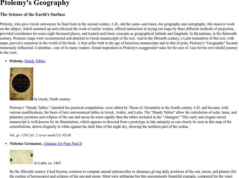
Ibiblio: Ptolemy's Geography
Brief discussion about Ptolemy's geography. Includes pictures of publications from ancient Greece based on Ptolemy's beliefs.
Latimer Clarke Corporation
Altapedia Online: World Map Resources
Features downloadable World Political and Physical Maps that include country names, country borders, ocean features, island names, and lat/long graticules. Clicking on any part of the map enlarges it.
NSTATE
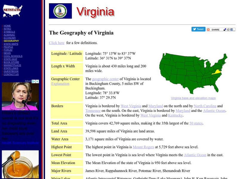
Netstate.com: The Geography of Virginia
Find a variety of facts about the geography of Virginia: geographic center, total area, elevations, and much more.
History Teacher
Historyteacher.net: Global Studies: General Geography Concepts Quiz
Quiz yourself on basic geography concepts.
Enchanted Learning
Enchanted Learning: The Continents
Brightly colored printouts, maps, and graphics on the greatest land masses on earth. See how continental drift works, look up extremes, label maps, learn about latitude, longitude and other geography terms. Teachers will find a Landforms...
Johns Hopkins University
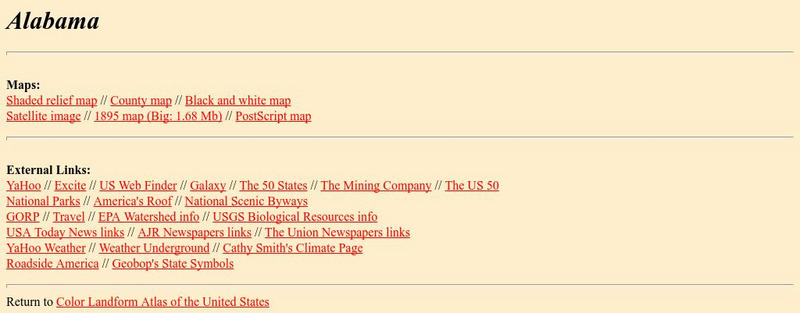
Johns Hopkins University: Alabama State Maps
Check out this site from the Johns Hopkins University Applied Physics Laboratory for several different types of maps for the state of Alabama. You can find everything from a county map to a shaded relief map. If you are looking for map...
University of Arizona
Pulse: From Global to City Air: Air Quality, City Design and Disease
Students are challenged to design a healthy city in this unit plan. The cross-curricular unit covers content standards for ninth grade in science, language arts, world geography, and math. Students explore air quality and the impact it...
Other
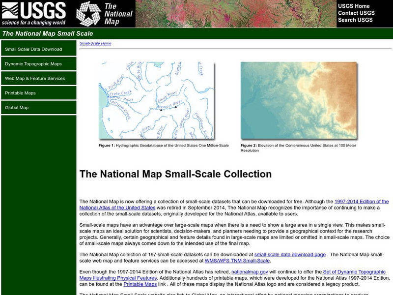
National Atlas
This site is excellent for mapping. You can create ANY kind of map you need. Select all kinds of layers: agriculture, biology, boundaries, climate, history, and more, and then select the geography. It does take some time to figure out...
ClassFlow
Class Flow: Global Knowledge Where in the World Am I?
[Free Registration/Login Required] This flipchart explains the division of the hemispheres, northern and southern, and eastern and western. The Equator and Prime Meridian are defined, as well as latitude and longitude. Students are given...
Enchanted Learning
Enchanted Learning: Types of Maps
Enchanted Learning provides an easy-to-understand explanation of projections. Site also provides a graph of related terms such as conic projection, cylindrical projection, Mercator projection, and more.
University of Texas at Austin
Ut Library: Perry Castaneda Maps of West Virginia
A collection of West Virginia maps, including city maps and maps of national parks, monuments, and historic sites.
TeachEngineering
Teach Engineering: Who Can Make the Best Coordinate System?
Students learn about coordinate systems in general by considering questions concerning what it is that the systems are expected do, and who decided how they look. They attempt to make their own coordinate systems using a common area...
TeachEngineering
Teach Engineering: What's Wrong With the Coordinates at the North Pole?
Students complete a self-guided exercise in worksheet format combined with Google Earth that helps them explore practical and observable differences between different projection and coordinate systems. The activity improves their skills...
Read Works
Read Works: Learn About Maps
[Free Registration/Login Required] Intended to support early elementary students' reading comprehension, the basic terminology associated with map are explained in this informational text. A question sheet is available to help students...


