Curated OER
Oregon Rainshadows
Students brainstorm list of possible highest locations in Oregon, identify and label places from list on map using color code, and discuss and identify causes of a rain shadow.
Curated OER
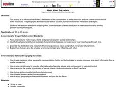
Water, Water Everywhere
Students are introduced to the complex issues of water resources around the globe. In groups, they take on the role of a country and map out the location of water sources. They barter, sell or take over other groups to have access to...
Curated OER
Understanding Korean Culture
Third graders investigate the meaning of immigration by looking it up in the dictionary and discussing it. They determine the location of Korea on the map and brainstorm ideas about it. They listen to a read aloud of Helen Recorvits, My...
Curated OER
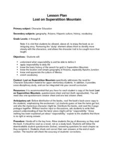
Lost on Superstition Mountain
Students review the concept of responsbility and relate it to the own lives. Using the internet, they research the search for gold on Superstition Mountain in Arizona and locate it on a map. They also examine the culture of Mexico and...
Curated OER
Has the Look of Nebraska Changed from 1819 to the 21st Century?
Eighth graders examine and analyze maps of early Nebraska. Using the maps, they compare and contrast them to those of today and identifying how the area has changed over time. They complete a worksheet over the differences in the maps...
Curated OER
The Legend of Sleepy Hollow
Students research the American Revolution through the story of the Legend of Sleepy Hollow. In this American Revolution lesson, students research folktale and The Legend of Sleepy Hollow. Students view illustrations for the story....
Curated OER
Mills of New Hampshire
Students locate mill sites on a New Hampshire map. They describe who worked in the mills and their working conditions. They examine the environmental impact of the mills and work together to find out more information about mills.
Curated OER
Prairie Settlement
Students make a decision for site selection for a farm during the 1840s in the Midwest. They build research and writing skills by recording the information used for analysis in a chart and as diary entries.
Curated OER
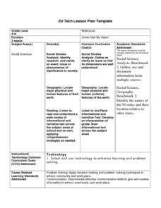
Come Visit My State!
Fourth graders conduct research on a selected state in the United States. They complete a WebQuest and conduct research on a variety of websites. Students then organize and present a visual display about their state that includes a...
Curated OER
Get Ready for the Great Outdoors!
Young scholars discuss what is a map and what they already know about maps. They brainstorm together to compile a list of responses for the board and observe a map of the United States, including states, capitals, and some of the...
Curated OER
NAFTA Trade Unit
Middle schoolers research the geography, economics and government of Canada and how that affects US/Canadian trade relations. In this NAFTA lesson, students play a game, read about Canadian history, and creat a graph.
Curated OER
Stratigraphy -- Layers of Time in the Earth
Students are introduced to the process of stratification. Using the internet, they read about the Richard Beene archeological site near San Antonio. Using a map, they color code the different layers present at this site and answer...
Curated OER
Date with Responsibility
Pupils discuss what it means to be responsible. As a class, they brainstorm a list of how they are responsible in their daily lives. In groups, they read the story of Liliuokalani and locate Hawai'i on a map. They discuss the...
Curated OER
On the Road Again": Moving People, Products, and Ideas
In this lesson plan learners learn how to identify modes of transportation and communication for moving people, products, and ideas from place to place. Students also study the advantages and disadvantages of different modes of...
Curated OER
Displaying The Data
Students engage in a research project to find information about one's personal family heritage. They collect information by conducting family interviews. Students use the data to create a graph, map, and timeline. Then students take part...
Curated OER
Census Statistics
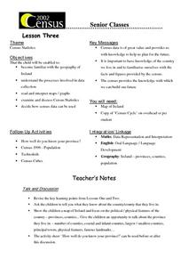
Twelfth graders become familiar with the geography of Ireland. They explore the processes involved in data collection. Students examine and discuss Census Statistics and read and interpret maps/graphs. They decide how the census data can...
Curated OER
States of Fitness
Students participate in physical activities coordinating to divisions on a map.
Curated OER
Water, Water Everywhere, and Nary a Drop to Drink!
Students sing the continent song and locate oceans between the continents on a map. They read "They Earth is Mostly Ocean" and copy notes into their journals. They watch a demonstration of water and saltwater evaporated to see what is...
Curated OER
Oink, Moo, Peep What Is A Farm?
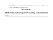
Learners explore the workings of a farm. After reading "Charlotte's Web," students visit a farm. They discuss their observations of the real farm to the one described in the book. Learners create a map of the farm they visited. They...
Curated OER
Riding With Alice
Student listen to Don Brown's, Alice's Grand Adventure before discussing cross country travel. They trace Alice's travels on an outline map of the US and focus on the state of Indiana. They color and label the counties that Alice...
Curated OER
Where Am I? Determining Relative Location
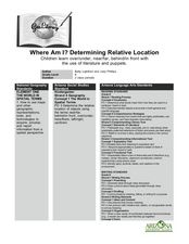
Students use position words to describe where their teacher is sitting and read a story that makes use of position words. In this spatial instructional activity, students make a stick puppet and play Simon Says focusing on using position...
Curated OER
Fair Trade: Chocolate Can Be Good For You
High schoolers discover the process of chocolate production. They read stories from boys in Ghana and Brazil who work on cocoa plantations. They illustrate the principles of fair trade.
Curated OER
Fred the Fish
Students read and retell the story of Fred the Fish. In groups, they create their own story of a similar nature and identify a situation in their community like the one in the story. They create possible solutions to the problem and...
Curated OER
American Civilization
First graders research and examine various events during the American Revolution. They locate the thirteen colonies on a map, create Boston Tea Party boats, and construct Paul Revere paper lanterns.


