World Geography Games
World Geography Games: Us States
Identify each state on a US map as its name is presented.
Maps of Mexico
Virtual Picture Travel Map of Massachusetts
Click on Massachusetts on the US map in order to Travel there and take a virtual tour of Boston. Visit places of interest such as Harvard University, MIT, John F. Kennedy Library and Museum, the Freedom Trail, Copley Square, Trinity...
Maps of Mexico
Virtual Picture Travel Map of Massachusetts
Click on Massachusetts on the US map in order to Travel there and take a virtual tour of Boston. Visit places of interest such as Harvard University, MIT, John F. Kennedy Library and Museum, the Freedom Trail, Copley Square, Trinity...
Curated OER
Carver, Jonathan 1781, New Map of North America
"The David Rumsey Historical Map Collection focuses on rare 18th and 19th century North and South America cartographic history materials. Historic maps of the World, Europe, Asia and Africa are also represented. The collection categories...
SMART Technologies
Smart: World Map
This lesson features a world map with labeled countries, a global map, and an interactive map of the seven continents.
Other
Geography Quiz: Northern South American Cities
Have fun trying to locate famous cities in northern South America on a map. Do you know where Paramaribo is? See how much you know!
Other
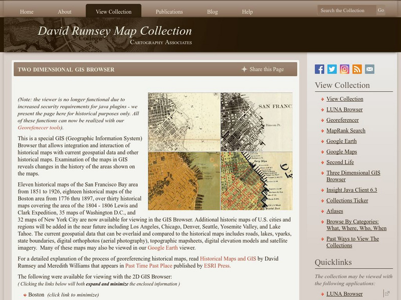
David Rumsey Historical Map Collection
The collection of more than 150,000 maps focuses on rare 18th and 19th-century maps of North and South America, although it also has maps of the World, Asia, Africa, Europe, and Oceania. The collection includes atlases, wall maps,...
Enchanted Learning
Enchanted Learning: The Continents
Brightly colored printouts, maps, and graphics on the greatest land masses on earth. See how continental drift works, look up extremes, label maps, learn about latitude, longitude and other geography terms. Teachers will find a Landforms...
A&E Television
History.com: The States
Learn unique facts about each American state. You can also read a more in-depth history of each state, watch videos and play a game about all the states.
Encyclopedia of Earth
Encyclopedia of Earth: Canada
The Encyclopedia of Earth provides an overview of Canada, including its geography, natural resources, history, government, economy, and much more. Maps and images are also included, along with sources used to create the entry.
Encyclopedia of Earth
Encyclopedia of Earth: Navassa Island (United States)
The Encyclopedia of Earth provides an overview of Navassa Island (United States), including its geography, natural resources, history, government, economy, and much more. Maps and images are also included, along with sources used to...
State Library of North Carolina
N Cpedia: Dismal Swamp Canal
Dismal Swamp Canal, believed to be the oldest existing excavated waterway in America, runs generally north and south for 22 miles between Deep Creek, Va., and South Mills, N.C. The canal connects the Elizabeth and Pasquotank Rivers,...
Other
Fco Country Profile: Dominica
Featured is a general overview of Dominica covering specific topics such as geography, history, politics, economy, population, health, and international relations especially with the UK. Material was updated 5/07.
Curated OER
Educational Technology Clearinghouse: Maps Etc: Barlow's Map, 1785
An English facsimile of a map issued by Joel Barlow in Paris (1787) of the area north of the Ohio River, showing the essential parts of a map with his proposals to induce immigration, but the legends are turned into English from the...


