Ducksters
Ducksters: Geography Games: Capital Cities of North America
Play this fun geography map game to learn about the capital cites of the countries of North America.
Georgia Department of Education
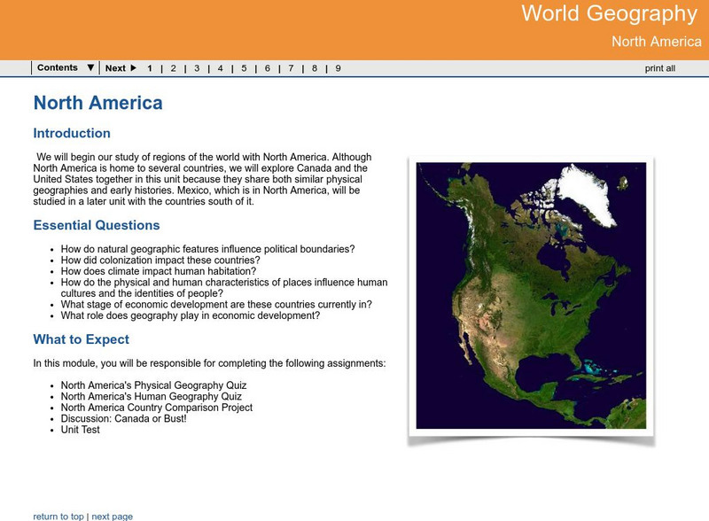
Ga Virtual Learning: World Geog: North America: The United States and Canada
World Geography learning module on the United States and Canada explores similarities and differences in the population, climate, resources and evolution of the two countries.
University of Waterloo (Canada)
University of Waterloo: Archaeology in Arctic North America
A resource regarding the Arctic region and a look at some of the recent archaeological projects there. The introduction offers a short look at the geography and history of the area.
Ducksters
Ducksters: Geography Games: Flags of North America
Play this fun geography map game to learn about the flags of the countries of North America.
Other
Seterra: North and Central America: Countries Map Quiz Game
Test your knowledge and see if you can place all the countries in North America in their correct spot!
Enchanted Learning
Enchanted Learning: Geography
At this site from Enchanted Learning, you can take a quiz, printout a map of the United States of America, and see where the Middle East is located in the world. Links are also provided for additional information.
Ducksters
Ducksters: Geography for Kids: North American
Learn about North American countries and geography. The flags, maps, exports, natural resources, and languages of North American are found on this website.
US Government Publishing Office
Ben's Guide to u.s. Government: Our Nation
Cartoon Ben Franklin guides students through a simple geography lesson about the seven continents, North America, the fifty states, and Washington, D.C.
Other
Geography Quiz: Northern South American Cities
Have fun trying to locate famous cities in northern South America on a map. Do you know where Paramaribo is? See how much you know!
Curated OER
Merriam Webster: Visual Dictionary Online: North America
Labeled map of the major geographical features of North America.
World Geography Games
World Geography Games: Capitals of America
Match the country in the Americas with its capital city.
National Geographic Kids
National Geographic Kids: In the Spotlight: Cuba
Click-through facts-and-photo file about Cuba's geography, nature, history, people, culture, and government.
Central Intelligence Agency
Cia: World Factbook: Regional and World Maps
Maps of major areas of the world can be downloaded here. The maps have excellent detail and are in color.
SMART Technologies
Smart: World Map
This lesson features a world map with labeled countries, a global map, and an interactive map of the seven continents.
Kidport
Kidport: United States of America Geography
This site contains a fun way to learn about the states within the United States. Click on the state that you want to learn more about and it provides facts, geographic landmarks, points of interest, major industries, a quiz and more.
National Wildlife Federation
National Wildlife Federation: The Red Desert
One of the last remaining high-desert ecosystems in North America, this resource presents an overview of the Red Desert in southern Wyoming offering its geographic features, local wildlife, and the threats to the lands.
Curated OER
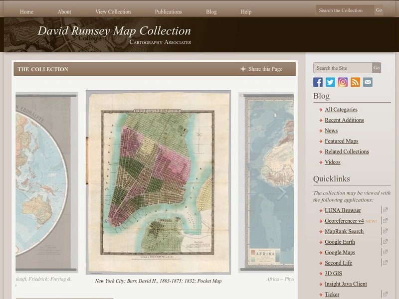
Carver, Jonathan 1781, New Map of North America
"The David Rumsey Historical Map Collection focuses on rare 18th and 19th century North and South America cartographic history materials. Historic maps of the World, Europe, Asia and Africa are also represented. The collection categories...
Other
The David Rumsey Historical Map Collection
"The David Rumsey Historical Map Collection focuses on rare 18th and 19th century North and South America cartographic history materials. Historic maps of the World, Europe, Asia, and Africa are also represented. The collection...
Enchanted Learning
Enchanted Learning: The Continents
Brightly colored printouts, maps, and graphics on the greatest land masses on earth. See how continental drift works, look up extremes, label maps, learn about latitude, longitude and other geography terms. Teachers will find a Landforms...
Ducksters
Ducksters: Geography for Kids: Canada
On this site, find information about Canada's history, capital, flag, climate, terrain, people, economy, and population.
World Geography Games
World Geography Games: Us States
Identify each state on a US map as its name is presented.
Other
Museum of Western Colorado
This site contains information/links to artifacts, photographs, Native Americans, the Old West, facts about the 20th century, and dinosaur-rich geography.
Other
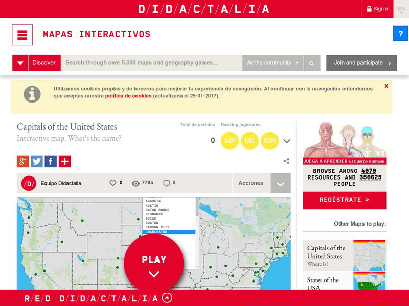
Didactalia: Interactive Map: Capitals of the United States
Interactive map and game to identify capitals of the U.S. states.
World InfoZone
World Infozone: Canada
Resource with background and current information about Canada which is in North America. Content includes geography, environment, architecture, religion, food, history, economy, arts, sports, and news. Be sure to look at the fact sheet...
Other popular searches
- North America Geography
- North American Geography
- North America World Geography
- Geography North America Maps


