Enchanted Learning
Enchanted Learning: Major Rivers of Texas
This is a very brief site that offers a map with the major rivers of Texas.
NSTATE
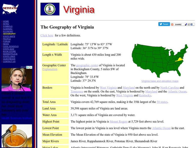
Netstate.com: The Geography of Virginia
Find a variety of facts about the geography of Virginia: geographic center, total area, elevations, and much more.
Travel Document Systems
Tds: Latvia: Geography
Latvia, a country on the Baltic Sea, has thousands of rivers. Find out about these and other bodies of water. You can also read about the climate, natural resources, and terrain. From the CIA World Fact Book.
Discovering Lewis & Clark
Discovering Lewis & Clark: Geography
How did Lewis and Clark map the unknown lands? Learn how they marked the territory using mental mapping, Indian spatial concepts, and formal navigation.
Other
Cmc: Egyptian Civilization: Geography
Site provides information about Egyptian geography. Describes the importance of the Nile River and the Nile River Valley.
NASA
Nasa: Rhine River; France, Germany
This site contains a spaceborne radar image of the important european river and includes related information.
Ducksters
Ducksters: Ancient Egyptian History: Geography and the Nile River
Kids learn about Ancient Egyptian Geography and the Nile River. The Nile provided fertile land, transportation, and building materials for Egypt.
Ducksters
Ducksters: Quiz: The Nile River and Geography of Ancient Egypt for Kids
History Questions: Nile River Quiz, Test, and WebQuest
Other
Aina: A Brief History of Assyrians: Geography
This is a brief article describing the geography of Assyria and its extent across the Middle East. Click on the word Assyria to take you to a map the region.
Other
Regent China Tours: Yangtze River in a Glance
This travel site gives brief information and pictures about the Yangtze River, its surrounding areas, and things to do if you visit.
Ohio History Central
Ohio History Central: Ohio River
Summarizes the history of the Ohio River with a brief description of its physical location.
World Facts US
World Facts: Geography of Venezuela
Features detailed information about the topography, climate, and hydrography of Venezuela. Click on the link to take a look at the map.
The British Museum
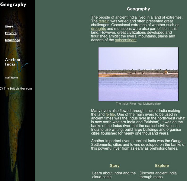
The British Museum: Ancient India Geography
With the help of an online glossary students can take a trip through ancient using maps, or take a virtual pilgrimage. One can also learn about about Indra and the cloud-cattle.
Travel Document Systems
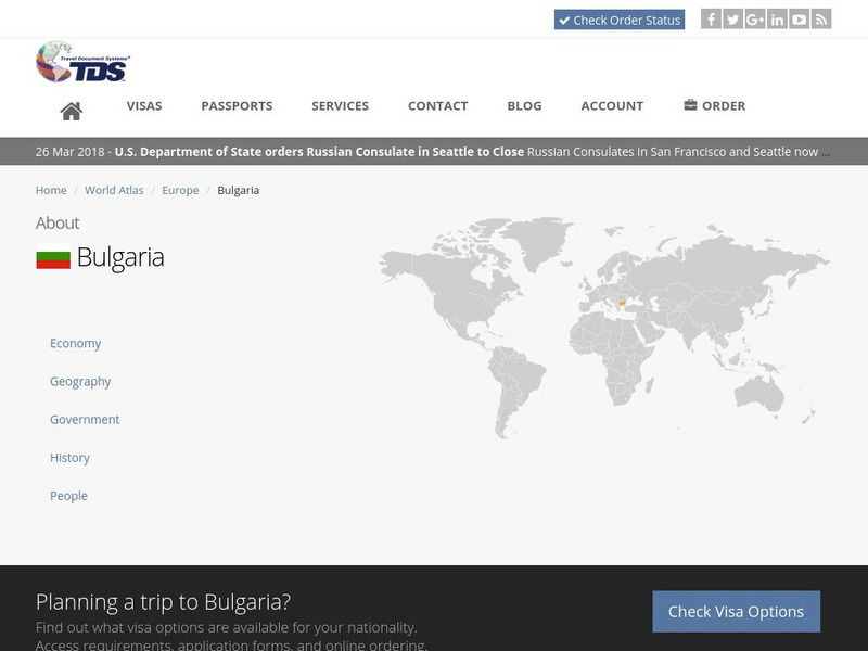
Tds: Bulgaria: Geography
A brief but thorough description of the physical environment of Bulgaria including its terrain, bodies of water, and climate. Information is from the U.S. State Dept. Background Notes.
PBS
Pbs Teachers: Touring Ancient Egypt (Geography Lesson Plan)
A instructional activity for working with students to analyze the geographic features of ancient Egypt leading to an understanding of how Egypt's location, landscape, and natural resources helped it become the world's first superpower.
Johns Hopkins University
Johns Hopkins University: Alabama State Maps
Check out this site from the Johns Hopkins University Applied Physics Laboratory for several different types of maps for the state of Alabama. You can find everything from a county map to a shaded relief map. If you are looking for map...
Forum Romanum
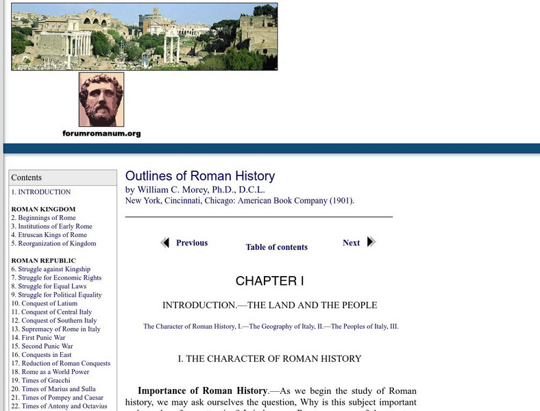
Outlines of Roman History: Introduction the Land and the People
This is the introductory chapter of Morey's 1901 textbook on Roman History. It sets out the geography of Italy and the Italic tribes who lived there. The text is old, but surprisingly easy to read and packs in a lot of information.
Ohio Department of Natural Resources
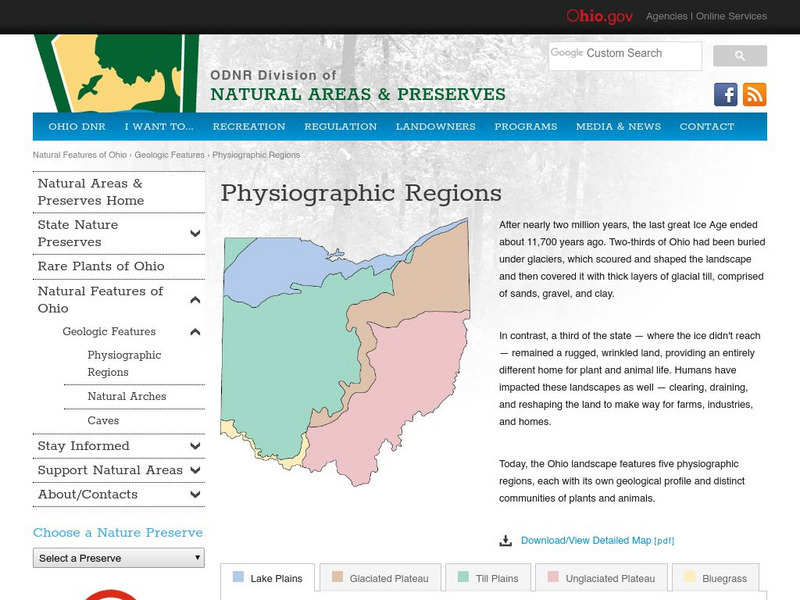
Ohio's Five Physiographic Regions
Gives characteristics and history of Ohio's different regions. Map included. Very detailed descriptions of rivers and nature perserves in the State.
Other
Australian Landforms and Their History
A history of the formation of the Australian continent, along with descriptions of many of Australia's unique features. Links to the geographical features of Australia are provided, such as highest mountains, islands, or longest rivers.
PBS
Pbs Learning Media: Buster's Egyptian Adventure
Students join Buster Baxter on a ancient Egypt, in this geography lesson. Students learn about Cairo, ancient Egypt, the pyramids, the Nile River, and relevant vocabulary terms. Then students write about what they've learned in the form...
Wikimedia
Wikipedia: Bay of Bengal
This site from Wikipedia offers an extensive description of the Bay of Bengal in the northeastern part of the Indian Ocean. Describes the rivers, seaports, islands, shorelines, oceanography, climate, and more.
Encyclopedia of Earth
Encyclopedia of Earth: Changjiang Plain Evergreen Forests
Describes the geography of the Chiangjiang Plain in China, its ecology, its conservation status, and threats to its biodiversity. (Published: August 3, 2007)
Other
Arkansas Department of Parks and Tourism: Arkansas Virtual Regional Map
Take a virtual tour of Arkansas by clicking on each of its major regions .. the Ozarks, River Valley, Central, Delta, Timberlands, and the Ouachitas region. Terrific photos, video clips, maps, and descriptive information is included for...
National Geographic
National Geographic: Mapping the World's Watersheds
In this lesson, students use a world map to locate and label major rivers and their watersheds. They then compare watershed shapes and look at typographical features that determine their shapes. A vocabulary list with definitions is...
Other popular searches
- Ireland Geography Rivers
- Rivers and Lakes Geography
- Geography Rivers Year 3
- Geography Rivers Fieldwork
- Geography Rivers and Floods
- Geography Rivers Poems
- Geography Rivers of Canada
- Geography Rivers Thames
- Geography Rivers in Texas
- U. S. Geography Rivers
- U S Geography Rivers


