Curated OER
Dirty Water: A Case Study
Pupils identify the causes of arsenic contamination. They list the world organizations involved in ensuring sanitary water supplies. Students describe various methods to mitigate arsenic contamination.
Curated OER
Traveling Along the Indiana Underground Railroad
Pupils develop a deeper understanding of the role that Indiana played in the Underground Railroad while exploring Indiana Geography.
Curated OER
Who Are These Chinese People?
Learners research the Han, a main Chinese ethnic group and the Hui, another numerous group. They write a paper about the Hui including geography, religion, eating habits, languages, politics and customs.
Curated OER
Explore the World: Create-Your-Own-Artifact
Young scholars examine the cultures of different countries other than their own. They select a country they are interested in and research their lifestyles. Using clay, they create a model of one aspect of the new culture of their...
Curated OER
Banpo Village: Gone, But Not Forgotten
Sixth graders plan a trip to China and prepare yourself for the Banpo excavation site competition by studying prehistoric and ancient Chinese history.
Curated OER
Saint Lawrence Island Rain Parka
Students make a Saint Lawrence Island Rain Parka after researching walrus life.
Curated OER
Geography: World Dynamics
Students discuss and examine how the world is changing. After reading an article, they discover the immediate changes that have taken place and how they have effected living things. They complete a worksheet identifying the changes as...
Curated OER
Scarification
Students examine the process of scarification. They use their prior knowledge to discuss how to change the appearance of the human body. They write a summary about what they have learned.
Curated OER
Give Me The C and D Canal!!!
Students estimate the distance from Baltimore to Philadelphia via the water route before the Chesapeake and Delaware Canal was built. Students study canals and how transportation and economic necessities dictate the building of a canal.
Curated OER
Give Me the C and D Canal!!!
Students estimate the distance between Baltimore to Philadelphia via the water route before the Chesapeake and Delaware Canal was built. They familiarize themselves with canals and how transporation and economic necessities dictate the...
Other
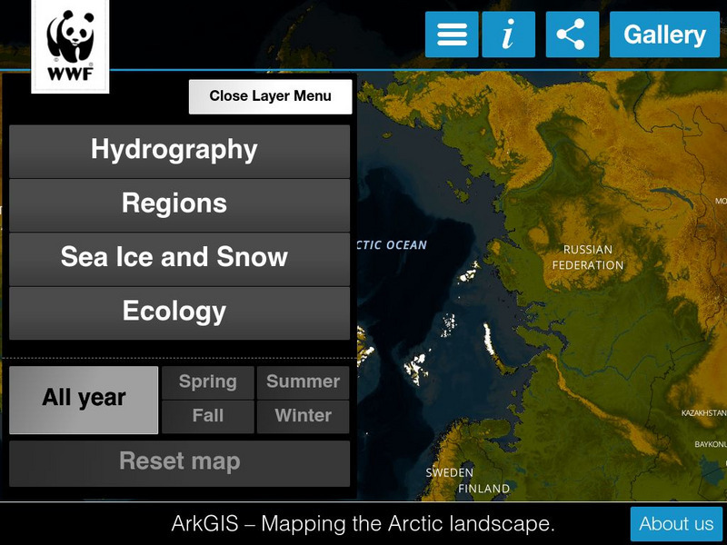
Ark Gis: Exploring the Arctic
Interactive mapping platform that combines and integrates existing data about the environment and human activity in the Arctic.
Other
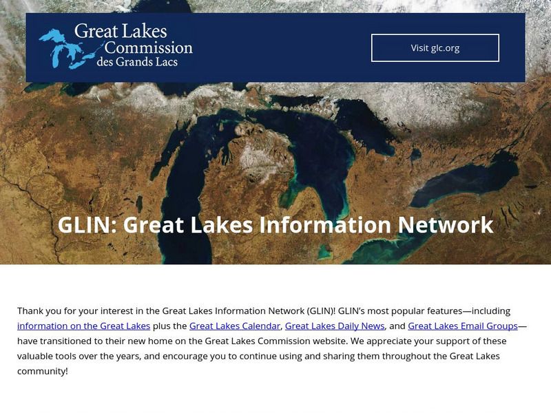
Great Lakes Information Network
The Great Lakes Science Center provides research on various topics concerning the Great Lake environment such as fish advisories, contaminants, threatened species, low water levels, and sustainable development of the Lakes.
TeachEngineering
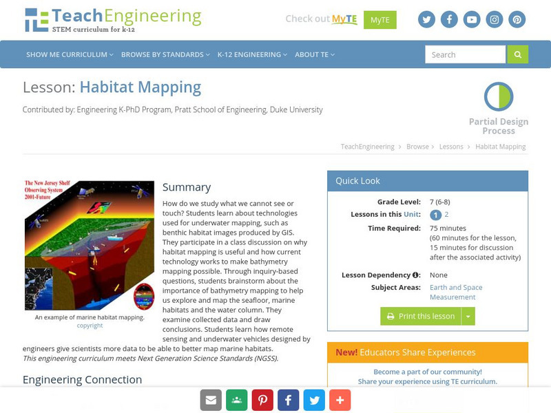
Teach Engineering: Habitat Mapping
The marine environment is unique and requires technologies that can use sound to gather information since there is little light underwater. In this lesson, the students will be shown benthic habitat images produced by GIS. These images...
US Geological Survey
U.s. Geological Survey
The U.S. Geological Survey reports on the latest news affecting the earth today, as well as providing a wealth of data, reports, and information.
TeachEngineering
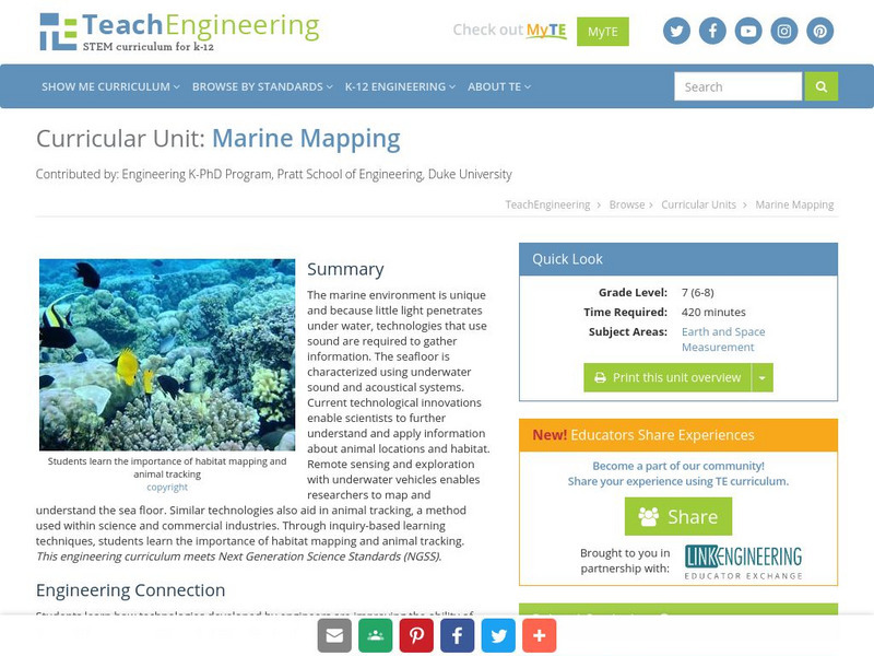
Teach Engineering: Marine Mapping
The marine environment is unique and requires technologies that can use sound to gather information since there is little light underwater. The seafloor is characterized using underwater sound and acoustical systems. Current...
TeachEngineering
Teach Engineering: Where Are the Plastics Near Me? (Field Trip)
An adult-led field trip allows students to be organized into investigation teams that catalogue the incidence of plastic debris in different environments. These plastics are being investigated according to their type, age, location and...
Geographyiq
Geography Iq
Detailed geographical information on any country is available at this site. Within the World Map section, you can get facts and figures about each country's geography, demographics, government, political system, flags, historical and...
Travel Document Systems
Tds: Liberia: Geography
A graphic showing geographical information about Liberia. You can find out about its size, climate, land use, and terrain. Information is from the CIA World Fact Book.
Travel Document Systems
Tds: Egypt: Geography
Overview of the geography of Egypt with information from the CIA World Fact Book. Learn about the terrain, climate, natural resources, environment, and importance of its geographic location.
Travel Document Systems
Tds: Sweden: Geography
Geographical and environmental information about Sweden. Information is from the CIA World Fact Book.
Travel Document Systems
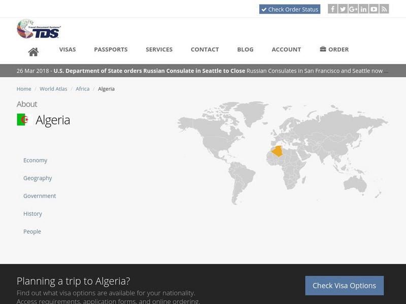
Tds: Algeria: Geography
A discussion of the geography of Algeria. You can read about the three distinct geographic regions, the climate, and the natural hazards. Information from the CIA World Fact Book.


