Stanford University
Stanford University Library: Hart Project
Explore the collection of 364 photographs which are plotted within this 3-D map experience recreating Alfred A. Hart's journey along the Central Pacific Railroad. The goal of his 1860s expedition was to solicit investment in the...
Nature Conservancy
The Nature Conservancy: Introduction to Sustainable Forestry
In this lesson students use an interactive with Google Earth to identify forests that have been logged selectively with those that have not. For an outdoor activity students create acomprehensive list of all the tree species in their...
Nature Conservancy
The Nature Conservancy: Introduction to Sustainable Forestry
In this instructional activity, students interact with Google Earth to identify forests that have been logged selectively versus those that have not. They also learn how to distinguish the appearance of forestry methods in satellite images.
Other
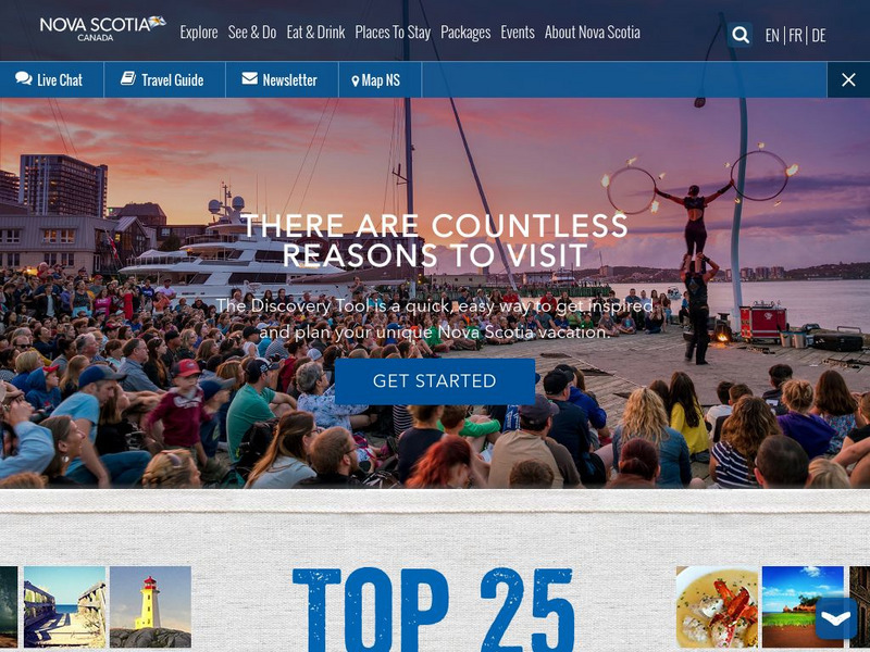
This Is Nova Scotia
This is the home of Nova Scotia's Official Tourism Website. Find much useful information about this beautiful Canadian province including learning about its history, culture, music, climate, and geography. Capture its charm while viewing...
US National Archives
Docsteach: Immigration to America: Stories and Travels
This activity asks students to match documents to individuals based on the reasons these people came to and were living in the United States. The photographs and documents are attached to government forms in some of the millions of...
Science Education Resource Center at Carleton College
Serc: A Reader's Guide to Climate Change
In this activity from the Deep Earth Academy, students divide into groups to read and discuss one of nine short articles (1-2 pages) about research done by the Ocean Drilling Program. These articles discuss our understanding about past...
Science Education Resource Center at Carleton College
Serc: Litter Retriever With a Gps Receiver
Have you ever wondered why litter is in some locations and not others? You will use a Global Positioning System (GPS) to mark the locations of trash and trash cans around a local park or school campus, import the data into Google Earth,...
Other
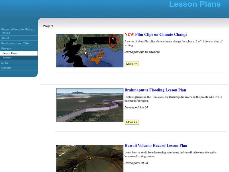
Personal Website: Richard Treves: Lesson Plans
Study climate change with Google Earth, explore glaciers in the Himalayas, and learn how to avoid lava destroying a home in Hawaii with these three expert-developed lesson plans.
PBS
Pbs News Hour Extra: The Impact of Egypt's Political Revolution
Lesson plan provides a summary of the impact of the Egyptian revolution of 2011 on other countries in North Africa and the Middle East. Cartoons are provided that comment on the emergence of democracy and the importance of oil and...
Science Education Resource Center at Carleton College
Serc: Drought
Eight online learning labs which focus on the effects of drought, the quiet disaster. Each module takes students to external sites containing data, graphs, and articles. Several labs also require additional software programs: a...
Science Education Resource Center at Carleton College
Serc: Arctic Climate Curriculum, Activity 1: Exploring the Arctic
This activity introduces learners to the Arctic, including different definitions of the Arctic and exploration of the Arctic environment and Arctic people. Students set out on a virtual exploration of the geography of the Arctic using...
Sophia Learning
Sophia: Urban Models in the Real World
By using Google Earth and city road maps, students will compare the layout of their city to one of the three North American urban models and see which one is the best fit.
Middle East Policy Council
Middle East Policy Council: Teach Mideast
TeachMideast, a comprehensive instructional portal home to a variety of resources on the Middle East and Islam, considers this region of the world from seven thematic perspectives: stereotypes, geography, history, language, religion,...
Common Sense Media
Common Sense Media: Wondering About Landforms in Asia
Following a guided observation through Google Earth of a landform in Asia, students will be able to form questions that reflect what they have observed and what they want to know about that landform.
Other
Hong Kong Space Museum
Besides an introduction to exhibitions and events at the museum, the site provides a guide to stargazing, an astronomy FAQ, space news, virtual tours (see site map) and research resources (including Chinese-English star and constellation...
Other
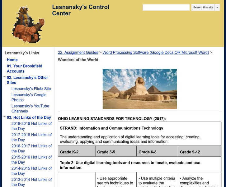
Lesnansky's Control Center: Word Processing Software: Wonders of the World
In this lesson, students watch a video about the Wonders of the World then research one of the Wonders and create a Microsoft Word document that details the story.
US Geological Survey
Usgs: Edna Derived Watersheds for Major Named Rivers
A watershed index where students can click on a map of the U.S. to find the names and locations of watersheds. Students can also download a file that can be run in Google Earth to view more about the watershed.
Other
Geo Guessr: Let's Explore the World
Let's Explore the World is an online game where students are shown a place and asked to guess where in the world it can be found! Places depicted allow students to zoom in or out and scroll to look around similar to Google Earth.
ClassFlow
Class Flow: Communities
[Free Registration/Login Required] This flipchart defines the various types of communities and ties into the book The Little House by Virginia Burton. It features pictures from Google Earth and questions for Activotes.
ClassFlow
Class Flow: Lucky Child Literature Discussion
[Free Registration/Login Required] This flipchart allows for many discussions of Lucky Child by Luong Ung. Students will read this novel that describes a sister's arrival in America as a Cambodian refugee. Another sister is left behind....
Curated OER
Brazil Political Map
Features a detailed colorful map of Brazil and Satellite image provided by Google Earth.
Curated OER
Brazil Satellite Photo
Features a detailed colorful map of Brazil and Satellite image provided by Google Earth.
Curated OER
French Guiana Political Map
Features a detailed map and satellite image of French Guiana from Google Earth.
Curated OER
French Guiana Satellite Photo
Features a detailed map and satellite image of French Guiana from Google Earth.
Other popular searches
- Google Earth Landforms
- Google Earth Scavenger Hunt
- Google Earth North Pole
- Google Earth Game
- Social Studies Google Earth
- Geography Google Earth
- Google Earth Lesson Plans
- Google Earth and Regions
- Google Earth Geology
- Google Earth Journalism
- Google Earth Glaciation
- Google Earth Ratings=3


