Google
Google Maps: Street View
Take a journey of "world landmarks, discover natural wonders, and step inside locations such as museums, arenas, restaurants and small businesses" with 360-degree images with Street View by Google Maps.
Google
Google Maps: Interactive Tour: Pompei
An interactive tour of the excavated remains of the ancient Roman city of Pompeii, which was destroyed by the eruption of Mount Vesuvius in 79 AD.
Google
Google Maps: Taj Mahal, India
From the comfort of your computer, tablet, or phone, take a 360-degree journey around the Taj Mahal as if you were walking around the building itself. Enjoy postcard views or discover rarely-seen perspectives; get up close to the...
Google
Google Maps: Galapagos Islands
Explore isolated volcanic islands. Charles Darwin's observations and collections of the Galapagos wildlife in 1835 contributed to his theory of evolution by natural selection. [7:08]
Google
Google Maps: Venice
Welcome to Venice, Italy, the city built on water. Travel the canals, walk the streets, ride boats, cross bridges and plan your own adventure in one of the world's most unique cities.
Google
Google Maps: Pyramids of Giza
Visit the last standing wonder of the ancient world in this 360-degree tour.
Other
Edte.ch: Maths Maps
Maths Maps is a collaborative project where participants use Google maps to choose a location within one of the cities highlighted, then create a Math problem about the site. The problems are marked on the map with various colors...
Other
Tomas Kubes: Google Map Generator
A free site that customizes Google maps that can be inserted into a website.
Alabama Learning Exchange
Alex: Run Around the World
Lesson where students utilize Google Maps and Google Earth to create a three mile running course from their houses, addressing any safety concerns that arise (large intersections, availability of sidewalks, etc.). Detailed instructions...
Science Education Resource Center at Carleton College
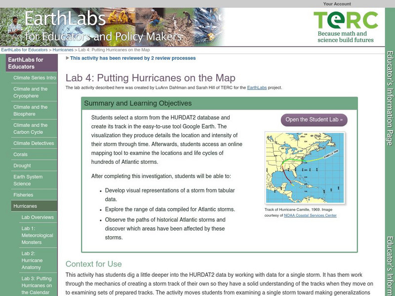
Serc: Lab 4: Putting Hurricanes on the Map
A lab experiment in a series of experiments that explores hurricanes. In this particular lab, students choose a storm through HURDAT data base. After choosing the storm, students use Google Maps, NHC Summary Report and NOAA's online...
Google
Google Maps: Grand Canyon, Usa
Explore the views of the Grand Canyon. This resource uses the Street View Trekker, a wearable backpack system that allows us to venture to locations only accessible by foot. It showcases areas of the Grand Canyon that otherwise would be...
Google
Google Maps: Great Barrier Reef, Australia
With these vibrant and stunning photos, you don't have to be a scuba diver-or even know how to swim-to explore and experience the Great Barrier Reef.
Google
Google Maps: The Amazon River Basin, Brazil
Explore the views of the Amazon River Basin. This resource uses the Street View Trekker, a wearable backpack system that allows you to venture to locations only accessible by foot. Features imagery of the Rio Negro, an Amazon Forest...
Google
Google Maps: Everest Base Camp, Nepal
Four Googlers decided go on a trip to Everest Base Camp in 2011. They loaded their packs with cameras, tripods, wide-angle lenses, solar chargers, batteries, and laptops, and hopped on a plane to Nepal. They captured a collection of...
TeachEngineering
Teach Engineering: Where Are the Plastics Near Me? (Mapping the Data)
In a student-led and fairly independent fashion, data collected in the associated field trip activity are organized by student groups to create useful and informative Google Earth maps. Each team creates a map, uses that map to analyze...
TeachEngineering
Teach Engineering: Digital Mapping and Geographic Information Systems (Gis)
Geographic information systems (GIS), once used predominantly by experts in cartography and computer programming, have become pervasive in everyday business and consumer use. This unit explores GIS in general as a technology about which...
Other
Google Maps Mashups: u.s. History: u.s. Presidents and Their Spouses
A visual of where the U.S. Presidents spouses are originally from.
REMC Association of Michigan
Remc Association of Michigan: 21 Things4 Students: 12. Interactives
Interactive websites are designed to help you learn through simulations and interaction. Here you will be learning about interactive websites such as Google Maps and Quizlet through a series of three quests. Text sections are available...
Google
Google for Education: Ciphering a Sentence
For this lesson, the students have a goal to map each alphabet letter to a number in the range 1-26. They use some simple rules to create this mapping and then use this mapping to encode a sentence.
Google
Google: Moon
An exciting new way to explore the Apollo moon missions, visit the moon on this interactive map and take a tour of each Apollo landing.
Other
Google Earth Teach: Maps
A free opportunity to allow students and educators to learn and engage using Google Earth. A variety of maps may be selected and multiple layers chosen to display different aspects of each map.
Curated OER
Google for Education: Children and Technology: Google Earth
A demo presentation using Google Earth to fly around the world, visiting notable visitor points around the globe.
Other
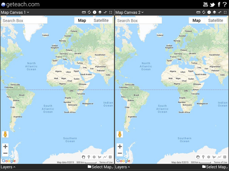
Map Channels: Dual Maps
"Dual maps combine Google Maps, Google Street View and Microsoft Bing Maps into one embeddable control" that allows the user to customize to fit their needs.
Other popular searches
- Scale Factor Google Maps
- Geography Google Maps
- Venn Diagram Google Maps
- Google Maps Science
- Google Maps 13 Colonies


