Indian Land Tenure Foundation
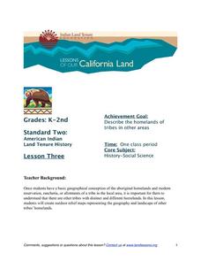
More Tribal Homelands
Here is a very fun idea that introduces young learners to how geographical location affects cultural development. They are introduced to four areas where Native Americans have lived in the past by reading stories and examining images....
Curated OER
Dos mapas de Florida, el Caribe y parte de Sur America
What can maps tell us about the past? Find out with a Spanish lesson that incorporates geography. After examining maps individually, comparing two old maps of Spanish Florida and writing notes in the provided Venn diagram, pupils pair up...
VT FEED
The Origins of Civilization and Agriculture: Integrating the Study of Food
What role has food played in the rise and changing nature of civilizations? Here you'll find a fantastic set of lessons and materials on such topics as where food is grown in the United States, the food of ancient peoples,...
Curated OER
Sam Houston for President...Again
Fourth graders discover the political career of Sam Houston. In this Texas history instructional activity, 4th graders research primary resources and create a modern-day version of Sam Houston's political campaign of the 1840s.
Curated OER
Ways to the Heart: Food and Foodways in Hawai'i
Young scholars explore the Hawaiian culture through food. In this cultural appreciation lesson, students use map skills to locate where the food originated. They also discuss the importance of food to a culture's heritage, and prepare a...
Curated OER
Explorations in American Environmental History
Ninth graders explore the historical perspective of nature and the environment. In this American History lesson, 9th graders examine materials in a variety of formats to understand the contexts of America's concern for the environment.
Smithsonian Institution
Lexington and Concord: Historical Interpretation
Learners view and analyze three different images related to the Battle of Lexington and Concord. They also answer a variety of questions in a graphic organizer to help keep the information straight.
Curated OER
Maps: U.S, Time Zones
Students perform various activities to demonstrate knowledge of time zones. They connect with an interactive map to discover what time zone they are in. They create clocks out of paper plates and simulate different time zones.
Curated OER
Project Jukebox
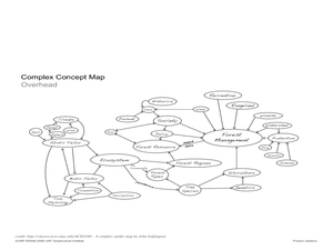
Students analyze an interview with the Climate Change Project Jukebox in order to help them undertand how to use a concept map. In this writing and climate change lesson, pairs of students log onto the Internet site for Climate Change...
Curated OER
Treaties
Students explore Canadian maps. In this map skills and Canadian history instructional activity, students locate reserves that originated from treaties made while establishing the Saskatchewan First Nation reserve communities. Students...
Curated OER
Between the Rivers
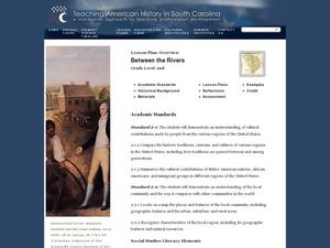
Second graders compare and contrast historical American cultures. In this American history lesson, 2nd graders participate in reading, writing, oral, and hands on activities. Students discuss the similarities and differences between...
Curated OER
The Anasazi
Students investigate and determine the origins of the ancient Anasazi who inhabited present-day Utah and the Four-Corners-Region.
Curated OER
The Anasazi
Sixth graders investigate and determine the origins of the ancient Anasazi who inhabited present-day Utah and the Four-Corners-Region, after receiving direct instruction and carrying out activities in cooperative group settings. They...
Curated OER
Native American Culture Region Collages
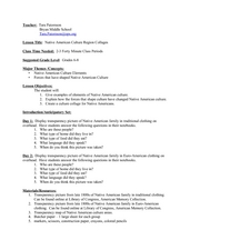
Young scholars research various Native American tribes. In this Native American history lesson, students follow the provided rubric to create collages on the cultures of selected Native American tribes.
Curated OER
European Agriculture
Students make inferences on how physical geography affected the development of early civilizations and come up with solutions to global issues. For this physical geography lesson plan, students compare maps of the past to maps of today...
Curated OER
Introduction to Native Americans Thematic Unit
Students consider different cultural viewpoints. In this Native American history lesson, students examine artifacts and then conduct research on selected Native American tribes.
Power Show
Colonial North America
This 54-slide PowerPoint outlines the significant events in the history of Colonial North America, beginning in 1603 with the ascendance of James I to the throne of England. Designed to accompany a lecture on this time period, the...
Curated OER
Becoming A Local Historian
Pupils practice the art of being a historian. They compare primary and secondary resources to conduct a critical thinking assignment. Students compare the map of the Baton Rouge area to a modern one in order to make inferences about the...
Curated OER
Roman Republic
Experience the birth and rise of the Roman Empire with these slides, which include explanatory maps and pictures. Details of the Roman government draw an easy parallel to the American government, which could start an engaging discussion.
Curated OER
Touring My County
Second graders research important events that occurred in their counties for each year they have been alive. They, in groups, categorize these events and develop notes to be used in the writing of an autobiography.
Curated OER
Map Lesson Plan
Fourth graders locate and label major sites related to the Revolutionary War in the Hudson River Valley. They examine topographical features of each site and list a few of these features and list two advantages of each military site.
Louisiana Department of Education
Comprehensive Curriculum Social Studies (Grade 7)
US history from 1776 through 1877 is the focus of a comprehensive curriculum guide designed for seventh graders. Each of the seven units in the 102-page packet includes a list of guiding questions, grade-level expectations, links to...
Curated OER
Tales From the Crypt
Eighth graders study the people of their community. In this Geography lesson, 8th graders research local history using maps and books. Students create a timeline of tombstones for deceased residents.
Curated OER
Plotting Slave Population Density in Connecticut in the 1700's
Tenth graders explore slavery in the U.S. by researching the web. In this U.S. history lesson, 10th graders identify the geography of Connecticut and the overall involvement the state had in the slavery process. Students view data of the...


