Science Education Resource Center at Carleton College
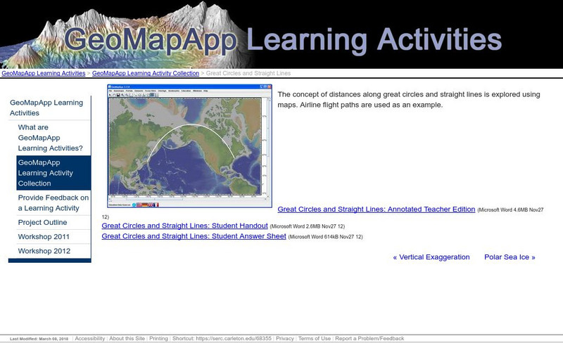
Serc: Great Circles and Straight Lines
Using maps, students explore the concept of distances along great circles and straight lines. Airline flight paths are used as an example.
Mariners' Museum and Park
Mariners' Museum: Resources: Age of Exploration
Scroll to the bottom of this page to access activity resources and lesson plans that encourage students to explore an understand the practicalities and difficulties involved in sailing to new places during the Age of Exploration.
University of Hawai'i
The Hawai`i Space Grant Consortium: Lunar Images
Part of the Exploring Planets in the Classroom series, this site provides images of the Moon, with Latitude and Longitude reference lines.
PBS
Pbs Teachers: Titanic's Lost Sister: Camera Overboard!
Learn about different diving equipment in order to determine which would be most useful in recovering a sunken object and exploring underwater. Find a location on a globe or map using latitude and longitude coordinates.
ClassFlow
Class Flow: Parts of the Globe
[Free Registration/Login Required] This flipchart explores the vocabulary of studying the parts of the globe: north pole, south pole, equator, longitude, latitude, etc.
ClassFlow
Class Flow: Major Topographical Features of the u.s.
[Free Registration/Login Required] In this flipchart students will locate major topographical features of the United States of America. Website links covering Identify rivers, mountain ranges, the equator, prime meridian, and lines of...
Country Studies US
Country Studies: Afghanistan: Geography
A description of the rough terrain of Afghanistan along with its latitude, longitude, area, and neighbors. Small map included and links to related articles. From the Country Studies of the Library of Congress.
TeachEngineering
Teach Engineering: State Your Position
To navigate, you must know roughly where you stand relative to your designation, so you can head in the right direction. In locations where landmarks are not available to help navigate (in deserts, on seas), objects in the sky are the...
TeachEngineering
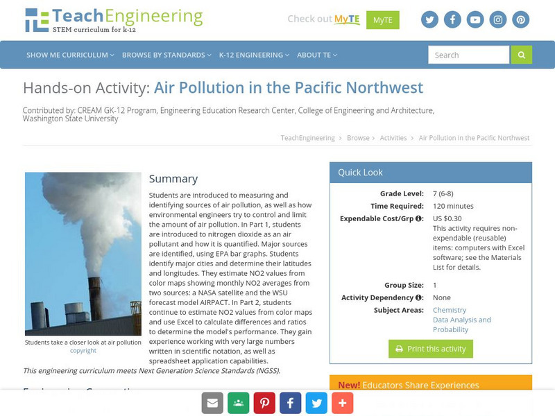
Teach Engineering: Air Pollution in the Pacific Northwest
Students are introduced to measuring and identifying sources of air pollution, as well as how environmental engineers try to control and limit the amount of air pollution. In Part 1, students are introduced to nitrogen dioxide as an air...
TeachEngineering
Teach Engineering: Plot Your Course Navigation
In this unit, students learn the very basics of navigation, including the different kinds of navigation and their purpose. The concepts of relative and absolute location, latitude, longitude and cardinal directions are discussed, as well...
Enchanted Learning
Enchanted Learning: The Continents
Brightly colored printouts, maps, and graphics on the greatest land masses on earth. See how continental drift works, look up extremes, label maps, learn about latitude, longitude and other geography terms. Teachers will find a Landforms...
US Census Bureau
U.s. Census Bureau: Gazetteer Files
The U.S. Gazetteer Files provide a listing of all geographic areas for selected geographic area types. The files include geographic identifier codes, names, area measurements, and representative latitude and longitude coordinates. There...
Curated OER
Etc: Maps Etc: United States Canal Zone Isthmus of Panama, 1912
A map from 1912 of the United States Canal Zone in Panama. The map shows the location of the canal, the deepened approaches to the canal, and the locks. The map also shows mountain ranges, railroads, projected railroads, post offices,...
Quia
Quia: Latitude and Longitude Quiz
This one question matching quiz will help you learn the correct order of US Federal Indian policies. The quiz has a 15 minute time limit.
Science Buddies
Science Buddies: A Matter of Degrees: Tilt of Earth's Axis Affects the Seasons
In this science fair project, use a globe and a heat lamp to investigate how the angle of the Sun affects global warming. This project includes the objective, background questions, a list of all the materials you'll need, and the...
Harvard University
Harvard Smithsonian: Everyday Classroom Tools
The focus of this series of lessons is to engage students in an exploration of the world around them. The emphasis is on inquiry as students learn about the earth, sun, light, shapes and more.
Other
National Atlas
This site is excellent for mapping. You can create ANY kind of map you need. Select all kinds of layers: agriculture, biology, boundaries, climate, history, and more, and then select the geography. It does take some time to figure out...
NOAA
Noaa: Follow That Hurricane [Pdf]
Utilize data from historical hurricanes and a map of areas around the Atlantic Ocean to plot the paths of these potentially devastating storms.
Georgia Department of Education
Ga Virtual Learning: Life and Environment Relationships
In this amazingly comprehensive interactive tutorial you will learn about the characteristics and features of the different biomes on our planet.
TeachEngineering
Teach Engineering: Who Can Make the Best Coordinate System?
Students learn about coordinate systems in general by considering questions concerning what it is that the systems are expected do, and who decided how they look. They attempt to make their own coordinate systems using a common area...
TeachEngineering
Teach Engineering: What's Wrong With the Coordinates at the North Pole?
Students complete a self-guided exercise in worksheet format combined with Google Earth that helps them explore practical and observable differences between different projection and coordinate systems. The activity improves their skills...
TeachEngineering
Teach Engineering: Searching for Bigfoot and Others Like Him
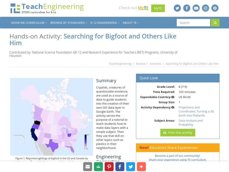
Cryptids, creatures of questionable existence, are used as a source of data to guide students into the creation of their own GIS data layer in Google Earth. The activity serves the purpose of a tutorial to teach students how to make data...
Mariners' Museum and Park
Mariners' Museum: Age of Exploration: Tools of Navigation
Sailors improved on many of the tools used in navigation to help them in their long journeys across an ocean. On this site from the Mariners' Museum, find many of these tools, perhaps in use already in the 15th century, but made even...
University of Texas at Austin
Ut Library: Perry Castaneda Maps of West Virginia
A collection of West Virginia maps, including city maps and maps of national parks, monuments, and historic sites.
Other popular searches
- Latitude and Longitude
- Latitude Longitude
- Latitude and Longitude Games
- Latitude & Longitude
- Latitude and Longitude Maps
- Longitude and Latitude Game
- Longitude and Latitude Math
- Geography Latitude Longitude
- Whaling Latitude Longitude
- Longitude Latitude Minutes
- Longitude and Latitude Lines
- Volcano Latitude Longitude


