Curated OER
Virus Concept Map
In this biology instructional activity, students complete a concept map on viruses. They fill in 9 blanks with the correct terminology from the word list.
Curated OER
Understanding Topographic Maps
Underclassmen create a cone-shaped landform and then draw a contour map for it. Then they examine a quadrangle (which was easily located with an online search), and relate it to what they experienced. The accompanying worksheet is...
Curated OER
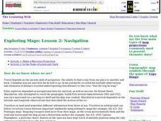
Exploring Maps: Navigation
Students engage in a lesson that is concerned with the concept of navigation while research is conducted with the use of a variety of resources. The information is used to expand their perspective of the applications for navigation. The...
Curated OER
Lesson 4 Activity 1: Mapping the Third Dimension
Learners work in pairs to construct a simple stereoscope.
Curated OER
New Mexico Map
In this state maps worksheet, students identify the state of New Mexico. Students fill in the state capital, major cities, and other state attractions.
Curated OER
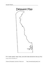
Delaware Map
In this state maps worksheet, students identify the state of Delaware, and fill in the state capital, major cities, and other attractions in the state.
Curated OER
Connecticut Map
For this state maps worksheet, students identify the state of Connecticut, and fill in the state capital, major cities, and other major attractions.
Curated OER
Colorado Map
In this state maps worksheet, students identify the state of Colorado, and fill in the state capital, major cities, and other attractions for the state.
Achievement Strategies
Fishbone Map for Cause and Effect
Class members can outline a topic or text with this graphic organizer. There are spaces provided for causes, details, and results.
Curriculum Corner
Digraph Word Map
Can you map a consonant digraph? You can when you have the right tools. Early readers can use this word map to create a visual that displays words with digraphs like sh, wh, ch, and th. They add the digraphs into the spaces provided and...
Curated OER
Character Development Story Map
In this character development story map worksheet, students complete a flow chart about a character in a book. Students fill in the name of the character and write how the character feels and acts before and after a character change in...
Curated OER
The Protestant Reformation Through Maps
A series of maps and photographs guide viewers through the spread and influence of the Protestant Reformation in Europe in these slides. With several bullet points detailing the causes of the Reformation, the presentation covers the...
Newark Public Schools
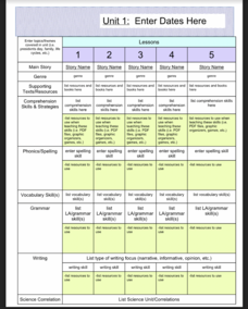
ELA Curriculum Map
Organize your curriculum of narratives and stories within an ELA unit and keep track of what elements are needed to ensure the unit's success. This curriculum map template allows you to plan for supporting texts, comprehension skills and...
Curated OER
Map Keys
In this geography worksheet, students identify who a cartographer is and what they do specifically. They study an outline map of a fictitious island and then, respond to the three questions that follow. Finally, students add three more...
Curated OER
Mapping South America
Learners explore South America. For this South American lesson, students use their geography skills to create population, terrain, biomes/vegetation, and major exports maps. Learners present their finished maps to their classmates and...
Curated OER
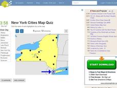
New York Cities Map Quiz
In this online interactive geography activity, students examine a map of New York and identify the 11 noted cities on the map using a pull down menu within 3 minutes.
Curated OER
Road Map Relief - Mixed Media painting
High schoolers use road maps to create non-objective artwork.
Curated OER
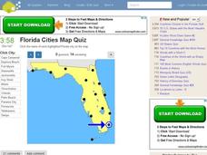
Florida Cities Map Quiz
In this online interactive geography worksheet, learners examine a map of Florida and identify the 12 noted cities on the map using a pull down menu within 3 minutes.
Curated OER
Texas Cities Map Quiz
In this online interactive geography worksheet, students examine a map of Texas and identify the 15 noted cities on the map using a pull down menu within 3 minutes.
Curated OER
Drawing Conclusions - Is This a Map of the Underground Railroad?
Young scholars complete activities to study potential maps of the Underground Railroad. In this Underground Railroad lesson, students watch a video about map collector Anne Zorela's Underground Railroad map. Young scholars complete a...
Curated OER
South America Map Quiz
In this online interactive geography quiz worksheet, students examine the map that includes all of South America's countries. Students identify the 13 countries in 2 minutes.
Curated OER
Middle East Map Quiz
In this online interactive geography quiz worksheet, students examine the map that includes 26 Middle Eastern countries. Students identify the names of the countries in 4 minutes.
Curated OER
Central America Map Quiz
In this online interactive geography quiz learning exercise, students examine the map that includes 22 Central American countries. Students identify the names of the countries in 3 minutes.
Curated OER
Canada Map Quiz
In this online interactive geography quiz worksheet, students examine the map that includes 13 Canadian provinces and territories. Students identify the names of the provinces and territories in 2 minutes, 30 seconds.
Other popular searches
- United States Maps
- Weather Maps
- Topographic Maps
- Story Maps
- Maps and Charts
- Types of Maps
- Maps and Globes
- Middle East Maps
- Maps and Flags
- Historical Maps
- Maps of Europe
- Create Character Maps


