Curated OER
Etc: Maps Etc: The Result of the Missouri Compromise, 1821
A map of the United States in 1821 showing the results of the Missouri Compromise of 1820 over the issue of prohibition of slavery. The map is coded to show the areas of the Free States, the Slave States, the Michigan Territory as Free...
Curated OER
Educational Technology Clearinghouse: Maps Etc: The Missouri Compromise, 1820
A map of the United States at the time of the Missouri Compromise of 1820. The map is keyed to show the free states by State Action, the free Northwest Territory by the Ordinance of 1787, the free territory north of the Compromise Line,...
Independence Hall Association
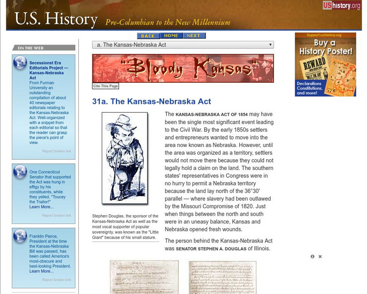
U.s. History: The Kansas Nebraska Act
Read about the essential repeal of the Missouri Compromise, which had established which states could be slave and which would be free for thirty years, with the rancorous passage of the Kansas-Nebraska Act. See who supported it and why,...
US Capitol Visitor Center
U.s. Capitol Visitor Center: 1820 1861: Holding the Union Together
American history from 1820-1861 is interwoven with the history of the Capitol as it was expanded to accommodate a growing government body. A timeline of significant events in the debates over slavery, the addition of free and slave...
Nebraska Studies
Nebraska Studies
A large site that tracks the history of the Nebraska area begins with the formation of the earth, moves through the earliest human activity in Nebraska, and then through proto-historical and historical Nebraska. The Kansas-Nebraska Act,...
Curated OER
Educational Technology Clearinghouse: Maps Etc: Compromise of 1850, 1850
A map of the United States showing the effects of the Compromise of 1850. The map is keyed to show the free states and slave states, and notes California admitted to the Union as a free state; the Nebraska Territory as free by the...
Curated OER
Educational Technology Clearinghouse: Maps Etc: United States, 1821
A map of the United States and territories in 1821 after the Missouri Compromise, showing the Free States and territories, the Slave States and territories, and the transitional territories at the time. The map is color-coded to show the...
Curated OER
Educational Technology Clearinghouse: Maps Etc: The United States, 1821
A map of the United States in 1821 showing the states and territories which either accepted or abolished slavery after the Missouri Compromise of 1820. The map is color-coded to show absolutely free states, states undergoing gradual...
Curated OER
Etc: Maps Etc: The United States, September, 1850
A map of the United States at the time of the passing of the Compromise of 1850 (September, 1850). This compromise was a series of bills attempting to resolve territorial and slavery issues raised by the Missouri Compromise (1820) and...
Curated OER
Educational Technology Clearinghouse: Maps Etc: The United States, 1821
A map of the United States and territories showing the westward expansion after the Missouri Compromise (1820) and the admission of Missouri into the Union in 1821.
Curated OER
Etc: Maps Etc: Test Vote on the Kansas Nebraska Bill, 1854
A map of the United States in 1854 showing the results of the test-vote on the Kansas-Nebraska Bill in the House of Representatives, which would repeal the Missouri Compromise of 1820 and allow territorial settlers to determine if...
Curated OER
Etc: Maps Etc: United States and the Slavery Prohibition Issue, 1850
A map of the United States and territories at the time of the slavery prohibition issue in 1850, after the Missouri Compromise of 1820. The map is color-coded to show the areas where slavery was prohibited by State Law, slavery was...
Curated OER
Educational Technology Clearinghouse: Maps Etc: Freedom and Slavery, 1820
A map of the United States and territories showing the free areas and areas open to slavery as established by the Missouri Compromise of 1820.
Curated OER
Etc: Slavery and Slave Trade, 1830 1850
A map of the United States during the period of 1850 to 1850 showing the effects of slavery, the slave trade, and the abolition movement on territorial development. The map uses colored patterns to indicate the areas and phases of...
Curated OER
Etc: Slavery and the Slave Trade, 1830 1850
A map of the United States during the period of 1850 to 1850 showing the effects of slavery, the slave trade, and the abolition movement on territorial development. The map uses colored patterns to indicate the areas and phases of...


