Science Education Resource Center at Carleton College
Serc: Discovering Plate Boundaries
A data rich exercise built around four global data maps to help students discover the processes that occur at plate tectonic boundaries. The lesson is based on the jigsaw concept, mixing the students to work in different groups during...
Incorporated Research Institutions for Seismology
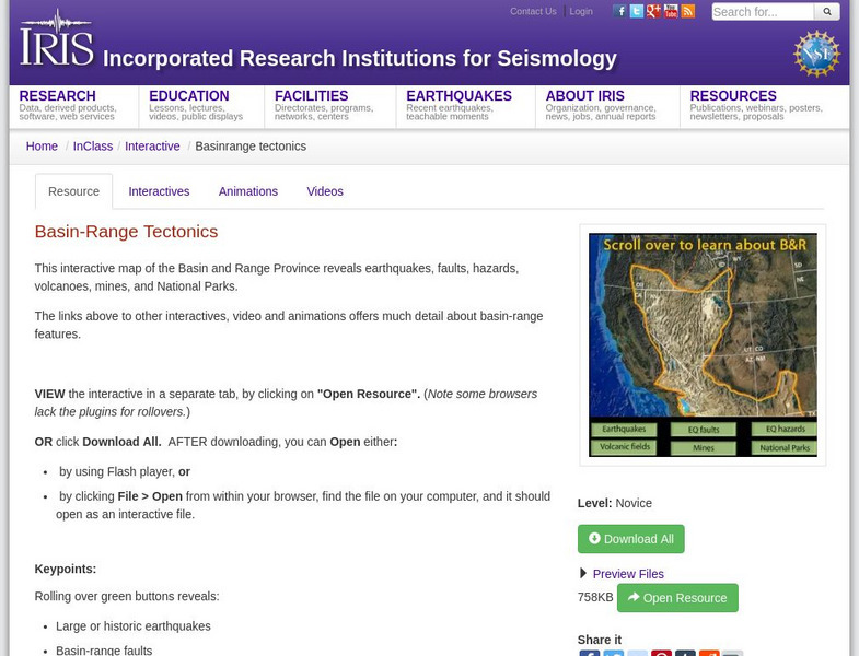
Iris: Basin Range Tectonics
This interactive map of the Basin and Range Province reveals earthquakes, faults, hazards, volcanoes, mines, and National Parks.
Other
Everytrail: Trail Map of San Andreas Fault Trail Exploration
Use this map on the San Andreas Fault by following lines of posts that mark the various fault breaks in the Los Trancos Open Space Preserve. The trail takes hikers to see some of the effects of earthquakes in this otherwise tranquil...
University of Wisconsin
Scien Count Ers: Earthquake Proof Buildings
This lesson looks at how the forces of an earthquake impact on buildings, and different ways to make buildings earthquake-proof. Includes student worksheet and tectonic plates map.
Purdue University
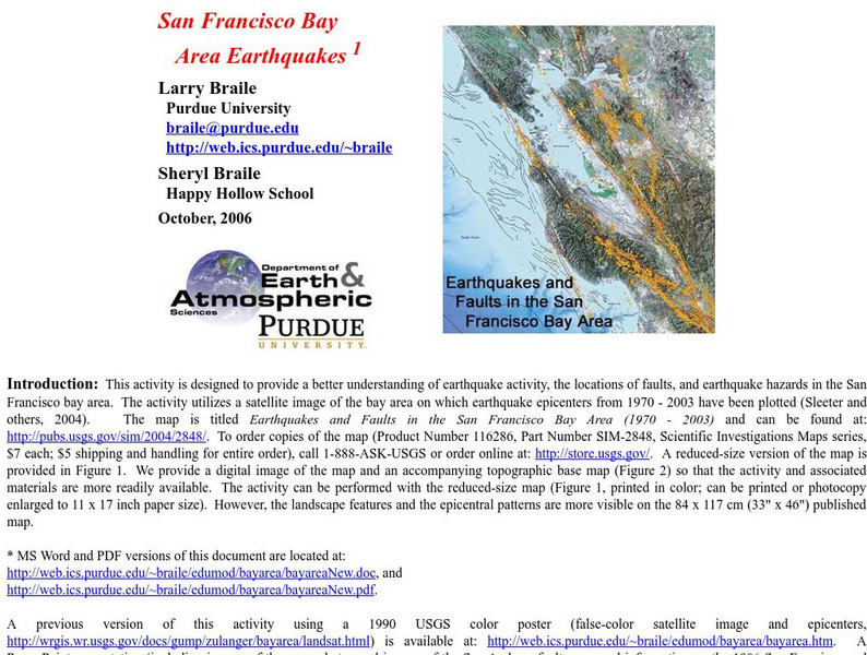
Purdue University: San Francisco Bay Area Earthquakes
Students use geologic fault maps of the San Francisco Bay Area to find relationships between tectonic plate fault lines and landscape features, topographic features, and epicenters of past earthquakes.
PBS
Pbs Teachers: Deadly Shadow of Vesuvius
Observe the relationship among volcanoes, earthquakes and lithospheric plates by collecting data and creating maps. This activity was created to be used with the NOVA program, "Deadly Shadow of Vesuvius" but the video is not necessary...
Smithsonian Institution
National Museum of Natural History: Global Volcanism Program: This Dynamic Planet
Interactive activity that allows the learner to make their own regional map using layers of their choice such as volcanoes, craters, plate tectonics, or earthquakes. This map of the Earth zooms in and out, highlights essential processes,...
Curated OER
National Park Service: North Cascades National Park Geology
Resource explores the history and geology of the Cascade Mountains. Content includes a geologic story, virtual field trip, a look at plate tectonics and the rocks & minerals found in the Cascade Mountains, geologic maps, and more.
Center for Innovation in Engineering and Science Education, Stevens Institute of Technology
Where Will Your Home Be in a Million Years?
Students will use the global velocities map to predict where their home will be in a million years.
National Geographic
National Geographic: Encyclopedia: Mantle
An in-depth look at the structure and composition of Earth's mantle, with lots of visuals. Covers lithosphere, Mohorovicic discontinuity, asthenosphere, transition zone, lower mantle, the d double-prime region, mantle convection, mantle...
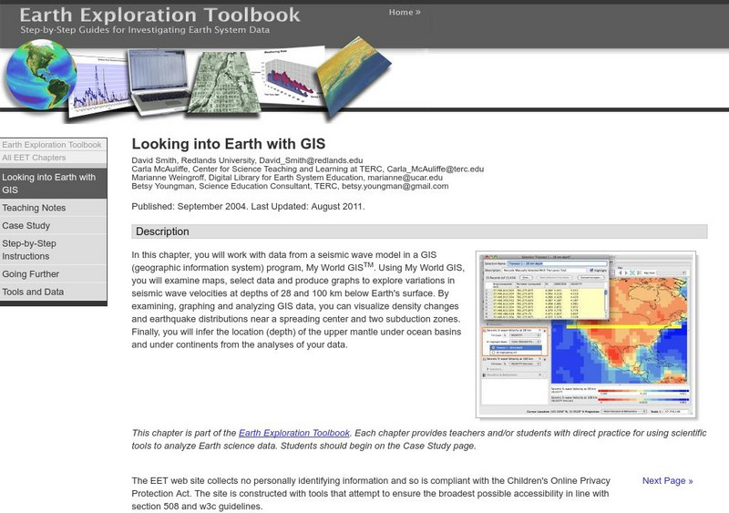
Science Education Resource Center at Carleton College
Serc: Looking Into Earth With Gis
Multi-instructional activity activity where learners will work with data from a seismic wave model in a GIS (geographic information system) program. They will examine maps, select data, and produce graphs to explore variations in seismic...
Other
Paleomap Project
Virtual reality animation map showing continental drift from 200mya to the present. The animation map is small but effective in showing the positions of the land masses.
Science Education Resource Center at Carleton College
Serc: Fairly Simple Geology Exercises
A collection of geology exercises which include relevant background information, complete instructions, student handouts, and answer keys. Topics include rock and mineral identification, Bowen's reaction series, crystal models,...
Other
University of Wisconsin Green Bay: Faults and Earthquakes
This site is primarily set up as an outline and is loaded with graphs, maps, and images. It covers a variety of earthquake-related topics, such as what causes earthquakes, fault lines and structures, seismology, a historical look at...
Science Education Resource Center at Carleton College
Serc: Getting to the Point: Exploring Tectonic Motion Point Reyes Seashore
The intent of this module is for students to make straightforward numerical calculations as they learn about earthquake geology at a National Park.
Other
Digital Library for Earth System Education: Teaching Box: Earthquake Country
A suite of lessons focusing on all aspects of earthquakes. Inquiry-based exploration of earthquakes includes measuring seismic waves, predicting earthquakes, investigating magnitude and intensity, mapping fault lines, and evaluating...
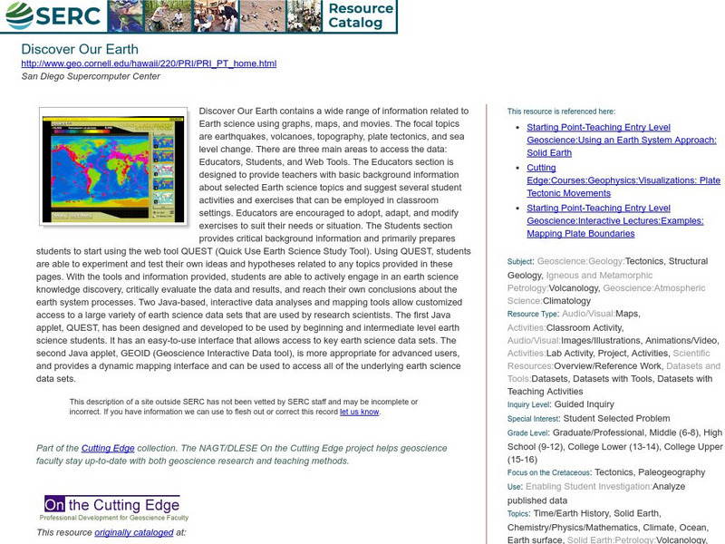
Science Education Resource Center at Carleton College
Serc: Discover Our Earth
Study earthquakes, volcanoes, topography, plate tectonics, and sea level change using graphs, maps, and movies. Engage in earth science knowledge discovery, critically evaluate the data and results, and reach conclusions about the earth...
Georgia Department of Education
Ga Virtual Learning: Geological Oceanography
This unit will focus on the geological characteristics of the world ocean, plate tectonics, and the mapping of the ocean floor.
Geographypods
Geographypods: Theme 2: Natural Environments
A rich collection of highly engaging learning modules on topics related to the natural environment. Covers four main areas - plate tectonics, forms and processes, weather and climate, and rainforest and desert. Within each of these,...
Other
Geological Survey Program: Facts About the New Madrid Seismic Zone
It's surprising to find out that the New Madrid Seismic Zone is the most seismically active area in the United States. The facts go into the New Madrid fault very scientifically and are very detailed. Find maps and charts showing...
Smithsonian Institution
National Museum of Natural History: This Dynamic Planet
Research and explore past earthquake and volcanic activity on this interactive world map. User can manipulate which notable events and other map characteristics to view depending on the type of study being done.
Curated OER
Extreme Science: A Lesson in Plate Tectonics
With its clickable map, this site provides text and graphics on spreading boundary, converging boundary, subduction zone, transverse boundaries and faults.
Other
Usgs: Geology in the Parks
Details regarding the geology of national parks in the United States.
NOAA
Noaa: National Ocean Service Education: Global Positioning Tutorial
Illustrated tutorial explains the history and science of geodesy. Animations help students visualize how scientists measure and monitor the size and shape of the Earth and the location of points on its surface.


