Simon Fraser University
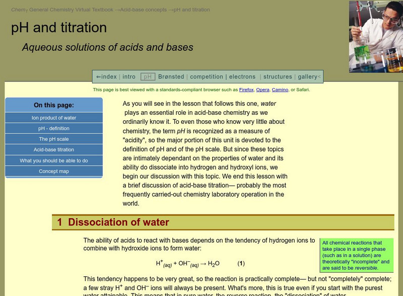
Chem1 Virtual Textbook: The P H Scale
Acting as an overview from the General Chemistry Virtual Textbook, this site explores the pH scale and its characteristics including a chart mapping the various levels of the scale.
TeachEngineering
Teach Engineering: Topo Map Mania!
Maps are designed to allow people to travel to a new location without a guide to show the way. They tell us information about areas to which we may or may not have ever been. There are many types of maps available for both recreational...
American Museum of Natural History
American Museum of Natural History: Map Your World
Students can follow these easy steps to develop a model (drawing) of their room and the things in it. Then they can broaden the drawing to include their entire floor, apartment, or house.
ReadWriteThink
Read Write Think: Scaffolding Summarization With Fishbone Mapping
Lesson that teaches students how to find important and significant information while reading text. After locating information through strategies, students learn how to summarize content-area text. A downloadable fishbone template is linked.
University of Oregon
University of Oregon: Interactive Nolli Map of Rome: 1748 Map of Rome
Interactive Nolli Map introduces students to Rome and the structure of its urban form based on the work of eighteenth-century Italian architect Giambattista Nolli. Using the map engine, navigate through the city at a variety of scales,...
Curated OER
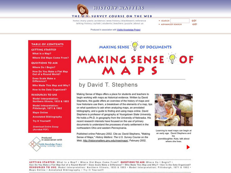
History Matters: Making Sense of Maps
Very detailed site from History Matters containing an explanation of how to read maps and understand them. An excellent resource for teachers. The site covers how to begin, how to use a scale, how to create a flat map for a round world,...
ClassFlow
Class Flow: Map Sense
[Free Registration/Login Required] This flipchart reviews the basic components of maps: legend, scale, Compass rose and labels. Clips from United Streaming video are included to illustrate these concepts. Student assessment and a student...
Illustrative Mathematics
Illustrative Mathematics: 7.g Map Distance
This lesson plan has students solve problems using scale drawings on a map.
Khan Academy
Khan Academy: Dilations: Scale Factor
Find both the center and the scale factor of a dilation that maps a given figure to another one. Students receive immediate feedback and have the opportunity to try questions repeatedly, watch a video or receive hints.
National Association of Geoscience Teachers
Nagt: Bringing the Geologic Time Scale Down to Earth in the Students' Backyard
This activity is specifically designed for a field trip to Drayton Hall, which is a historic plantation near Charleston, South Carolina. It does provide a model of how a similar activity could be designed for a local area, and there are...
National Association of Geoscience Teachers
Quaternary Glacio Fluvial History of the Upper Midwest Using Anaglyph Stereo Maps
Students examine the anaglyph stereo map and use textures to generate a surficial geology map of the Upper Midwest. They can then interpret the textures in terms of landforms, geomorphic features, and earth-surface processes, as well as...
E-learning for Kids
E Learning for Kids: Math: Tea Store: Position on a Map
Help Gina locate items in the tea store using coordinates, a compass, and a ruler in this series of leveled exercises.
Science Education Resource Center at Carleton College
Serc: Map and Compass Lab
Science Scope article presents an activity on topography and land masses that helps students learn about scientific inquiry. Students also practice making and interpreting scale drawings and learning about computation, estimation and new...
SMART Technologies
Smart: Final Project Map Skills
This lessons explores the different ways we can view our world along with the different parts of a map or globe.
Other
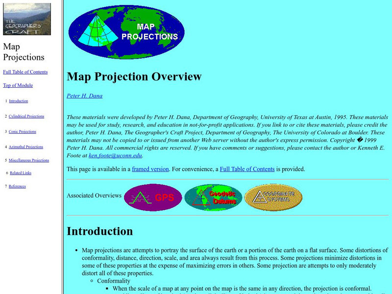
University of Connecticut: The Geographer's Craft: Map Projection Overview
An advanced overview of map projections with illustrative graphics. Created by Peter H. Dana, Department of Geography, University of Texas at Austin in 1995.
Other popular searches
- Using a Map Scale
- Map Scale Worksheets
- Map Scale Activities
- Geography Map Scale
- Map Scale Math Lessons
- Map Scale Math
- Geography Map Skills Scale
- Math Map Scales
- Map Scale Lesson Plans
- Using Map Scales
- Reading a Map Scale
- Using Map Scale Distance


