University of Georgia
University of Georgia: Map of Southern States of America 1795
A large and detailed map of the southern U.S. States and territories to the immediate west. Indicates rivers, the Appalachian Mountains and latitude and longitude.
TeachEngineering
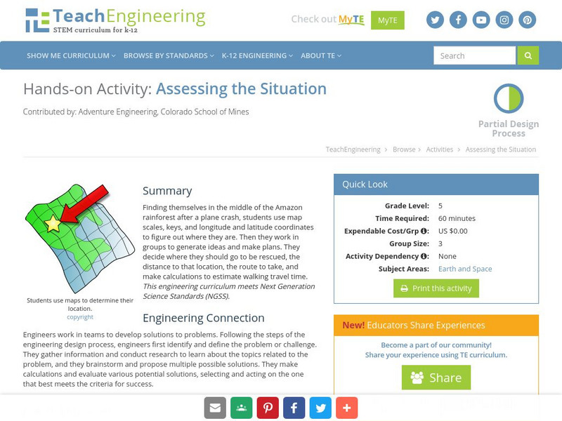
Teach Engineering: Assessing the Situation
In this activity, students will use the scale, the key, and longitude and latitude on a map to determine where they have crashed. They will then use the map scale to determine the distance to the nearest city and how long it will take...
Curated OER
Educational Technology Clearinghouse: Maps Etc: Pre Colonial Africa, 1872
A map of Africa showing the continent prior to the Berlin Conference of 1885, when the most powerful countries in Europe at the time convened to make their territorial claims on Africa and establish their colonial borders at the start of...
Latimer Clarke Corporation
Altapedia Online: World Map Resources
Features downloadable World Political and Physical Maps that include country names, country borders, ocean features, island names, and lat/long graticules. Clicking on any part of the map enlarges it.
Rice University
Rice University: Cynthia Lanius: Mathematics of Cartography: Coordinate System
A coordinate system such as latitude/longitude is an example of absolute location. Links to Greenwich/Prime Meridian.
Enchanted Learning
Enchanted Learning: The Continents
Brightly colored printouts, maps, and graphics on the greatest land masses on earth. See how continental drift works, look up extremes, label maps, learn about latitude, longitude and other geography terms. Teachers will find a Landforms...
Country Studies US
Country Studies: Afghanistan: Geography
A description of the rough terrain of Afghanistan along with its latitude, longitude, area, and neighbors. Small map included and links to related articles. From the Country Studies of the Library of Congress.
Ducksters
Ducksters: Earth Science for Kids: Topography
Kids learn about the Earth science subject of topography including features such as landforms, elevation, latitude, longitude, and topographical maps.
NOAA
Noaa: Follow That Hurricane [Pdf]
Utilize data from historical hurricanes and a map of areas around the Atlantic Ocean to plot the paths of these potentially devastating storms.
ClassFlow
Class Flow: Global Knowledge Where in the World Am I?
[Free Registration/Login Required] This flipchart explains the division of the hemispheres, northern and southern, and eastern and western. The Equator and Prime Meridian are defined, as well as latitude and longitude. Students are given...
PBS
Pbs Teachers: Titanic's Lost Sister: Camera Overboard!
Learn about different diving equipment in order to determine which would be most useful in recovering a sunken object and exploring underwater. Find a location on a globe or map using latitude and longitude coordinates.
Curated OER
Etc: Maps Etc: West Indies and Central America, 1872
A map from 1872 of the West Indies and Central America. The map shows political boundaries at the time, capitals, major cities, and ports, railroads, main steamship routes, rivers, terrain and coastal features, and banks. The map shows...
Curated OER
Educational Technology Clearinghouse: Maps Etc: Nevada, 1903
A map from 1903 of Nevada showing counties and county seats, principal cities and towns, mountain ranges, and rivers. "Nevada, one of the most western of the States of the American Union, was formed from a portion of the territory...
Curated OER
Etc: Maps Etc: Physical, Political, and Economic Asia, 1872
A map of Asia from 1872, showing physical features including mountain systems, deserts, lakes, rivers with direction of flow, coastal features, and ocean currents, political boundaries and foreign possessions at the time, and commercial...
Curated OER
Educational Technology Clearinghouse: Maps Etc: Mexico, 1872
A map from 1872 of Mexico, showing states and state capitals, major cities, towns, and ports, railroads, lakes and rivers, mountain systems, terrain, and coastal features. Steamship routes to major ports are shown, with distances marked...
Curated OER
Etc: Maps Etc: United States Canal Zone Isthmus of Panama, 1912
A map from 1912 of the United States Canal Zone in Panama. The map shows the location of the canal, the deepened approaches to the canal, and the locks. The map also shows mountain ranges, railroads, projected railroads, post offices,...
Curated OER
Educational Technology Clearinghouse: Maps Etc: British Isles, 1902
A map of the British Isles in 1902, showing Ireland, Scotland, England, and Wales. The map shows cities, towns, and ports, primary and secondary railways, canals, heads of navigation on major rivers, isotherms of averaged annual...
Curated OER
Educational Technology Clearinghouse: Maps Etc: American Population, 1790
A map of the original thirteen States in 1790 showing the distribution of the European-American population at the time and the general tribal lands of the Native Americans east of the Mississippi River. The map shows the State lines,...
Curated OER
Educational Technology Clearinghouse: Maps Etc: Province of Quebec, 1920
A map from 1920 of the province of Quebec from the St. Lawrence River to Hudson Bay and the Hudson Strait. The map shows the Dominion capital of Ottawa, Province capital of Quebec City, major cities and towns, existing and proposed...
Curated OER
Educational Technology Clearinghouse: Maps Etc: Ontario (Northern Part), 1920
A map from 1920 of the northern part of the province of Ontario. The map shows the capital of Ottawa, major cities and towns, existing and proposed railways, county boundaries, forest reserve boundaries, national park boundaries, Indian...
Curated OER
Educational Technology Clearinghouse: Maps Etc: Ontario (Southern Part), 1920
A map from 1920 of the southern part of the province of Ontario. The map shows the capital of Ottawa, provincial capital of Toronto, major cities and towns, existing and proposed railways, county boundaries, forest reserve boundaries,...
Curated OER
Etc: Maps Etc: Europe on a Conic Projection, 1915
A map of Europe on a simple conic projection showing straight meridians or lines of longitude, and concentric circular parallels or lines of latitude.
US Navy
Navigation
[Archived Content] Interactive site where students can learn about navigation techniques through various learning activities.
Other popular searches
- Latitude and Longitude Maps
- Maps, Longitude and Latitude
- Longitude & Latitude Maps
- Longitude Latitude Maps
- Maps, Longitude Latitude


