Curated OER
Follow That Ship!
Students in this exercise are introduced to the distinct ways of measuring distance (nautical miles) and speed (knots) at sea, as well as the concepts of latitude and longitude for establishing location.
Curated OER
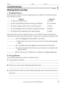
Viewing Earth and Sky
In this earth and sky worksheet, students review terms associated with map reading. Students also review topographic maps and how contour lines represent elevation. This worksheet has 5 matching, 5 true or false, 5 fill in the blank, and...
Curated OER
The Underground Railroad
Young scholars explore the Underground Railroad routes. For this map skills and Civil War lesson, students use map and globe reading vocabulary and skills to track the routes the slaves followed from the Bahamas to the United States and...
Curated OER
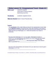
Congressional Travel
Students determine the distances traveled by the members of the legislative branch of the US Government. In this travel distance lesson, students locate Washington, DC on a globe using the longitude and latitude of the city. They...
Space Awareness
How To Travel On Earth Without Getting Lost
Have you ever wanted to travel the world? Take a virtual trip with a geography lesson that uses longitude and latitude, the position of the sun, an astronomy app, and a classroom globe.
Curated OER
The Landscape of a Novel
Students, after reading a novel, utilize geographic skills to map out the places described in the novel. They collect data, envision spatial features and then design a map to work off of to complete their assignment. Each student also...
Curated OER
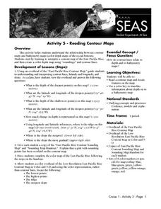
Reading Contour Maps
Students examine contour maps and bathymetry maps and discover how to interpret a contour map of the East Pacific Rise. Students look at a map as a class and answer questions together before working independently on a map of the East...
Curated OER
Of Compasses, Sextants and Chronometers
Students identify longitude and latitude and how they were, and are, determined, and discuss the rudiments of navigation in the eighteenth century.
Curated OER
Earth's Features
In this geography worksheet, students label a map of the world with the Arctic Circle, Tropic of Capricorn, Tropic of Cancer, Equator, North Pole, South Pole, and the Antarctic Circle.
Curated OER
Lesson Design Archaeology- U.S. Map
Students examine the U.S. map and identify cultural areas. In this archaeology lesson plan, students locate cultural areas on the U.S. map and fill in the proper locations.
Curated OER
Spherical Geometry: A Global Perspective
Students investigate spherical geometry using a globe and an apple. In this spherical geometry lesson plan, students translate Euclidean geometry terms to spherical geometry terms using a globe. They answer 3 questions about spherical...
Curated OER
Principles of Flight: Where are We?
Students explore the concept of topographical maps. In this topographical map lesson plan, students discuss how airplanes know where to fly. Students use topographical maps to simulate a field trip on the computer.
Curated OER
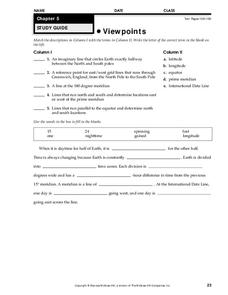
Viewpoints
In this map worksheet, students review latitude, longitude, equator, and prime meridian. This worksheet has 5 matching and 8 fill in the blank questions.
Curated OER
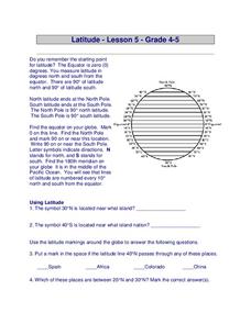
Latitude
In this latitude learning exercise, students answer questions about latitude that include absolute locations of countries and coordinates. Students complete 12 questions.
NOAA
Tracking a Drifter
Be shore to use this drifter resource. The third installment of a five-part series has learners using the NOAA's Adopt-a-Drifter website to track to movement of a drifter (buoy) in the ocean. Graphing the collected data on a map allows...
Curated OER
And a Star to Steer Her By: A Field Trip Guide for the Planetarium Show
In this field trip study guide for the planetarium show lesson, students construct a model of the Earth and describe the relative positions of the continents using latitude and longitude. Students construct a star chart to find...
Curated OER
Global Wind Patterns Notes
In this global wind patterns activity, students take notes on the wind patters in the southern and northern hemispheres. They indicate the latitude the winds occur at, the pressure, the characteristics and the direction the wind moves....
Curated OER
Design Your Own Imaginary Continent
For this continent worksheet, students design their own continent and include latitudes, mountain ranged, river, wind patterns, and temperature highs and lows. They also include a variety of cities in specified locations.
Curated OER
Mapping Plate Boundaries
Students discover plate boundaries based on the uneven geographic occurrence of geologic hazards. After discussing geologic hazards, students plot different sets of earthquakes and volcanic eruptions on maps.
Curated OER
Adventures With Maps And Globes
First graders examine the differences between a map and a globe. They discuss and identify the symbols on maps and globes, then in small groups complete a worksheet. Students then complete a Venn Diagram comparing maps and globes.
Curated OER
Creating a Map
Third graders examine the process of creating an accurate map, and create a map of their playground. They identify what objects are on their playground, and discuss what is found on a map. Students then draw a map of their playground...
Curated OER
Terrabagga Activity using a Magnetometer
Students use a magnetometer to determine the orientation of a magnetic field. In this magnetism lesson, students build a simulated planet and use a simple magnetometer to determine the orientation of their planet's magnetic field.
Curated OER
Lights, Shoals & Soundings
Young scholars explore nautical charts and their symbols, with a bit of fun thrown in.
Curated OER
National Marine Sanctuaries Shipwrecks
Junior oceanographers access the Channel Islands National Marine Sanctuary Shipwreck Database and plot the locations of several shipwrecks. Shipwrecks are always an enthralling subject and this activity allows your learners to act as...
Other popular searches
- Latitude and Longitude Maps
- Maps, Longitude and Latitude
- Longitude & Latitude Maps
- Longitude Latitude Maps
- Maps, Longitude Latitude


