PBS
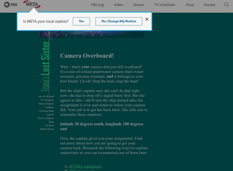
Pbs Teachers: Titanic's Lost Sister: Camera Overboard!
Learn about different diving equipment in order to determine which would be most useful in recovering a sunken object and exploring underwater. Find a location on a globe or map using latitude and longitude coordinates.
Ducksters
Ducksters: Earth Science for Kids: Topography
Kids learn about the Earth science subject of topography including features such as landforms, elevation, latitude, longitude, and topographical maps.
TeachEngineering
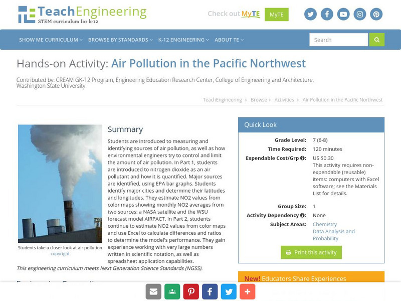
Teach Engineering: Air Pollution in the Pacific Northwest
Students are introduced to measuring and identifying sources of air pollution, as well as how environmental engineers try to control and limit the amount of air pollution. In Part 1, students are introduced to nitrogen dioxide as an air...
Country Studies US
Country Studies: Afghanistan: Geography
A description of the rough terrain of Afghanistan along with its latitude, longitude, area, and neighbors. Small map included and links to related articles. From the Country Studies of the Library of Congress.
US Navy
Navigation
[Archived Content] Interactive site where students can learn about navigation techniques through various learning activities.
Texas Instruments
Texas Instruments: World Geography App
This classroom activity features geography facts of countries around the world. Students explore latitude, longitude, area, climate, and more. They examine maps of the area, and discover the location of a country with respect to other...
NSTATE
Net State: The Geography of North Carolina
Here at NetState you will find a variety of facts about the geography of the state of North Carolina. Find out the geographic center, total area, elevations and much more.
US Geological Survey
U.s. Geological Survey: Teaching About and Using Coordinate Systems [Pdf]
Provides lessons and activities for teaching about the different types of coordinate systems including the Cartesian coordinate system, the Geographic Coordinate System, the Universal Transverse Mercator grid, and the State Plane...
NSTATE
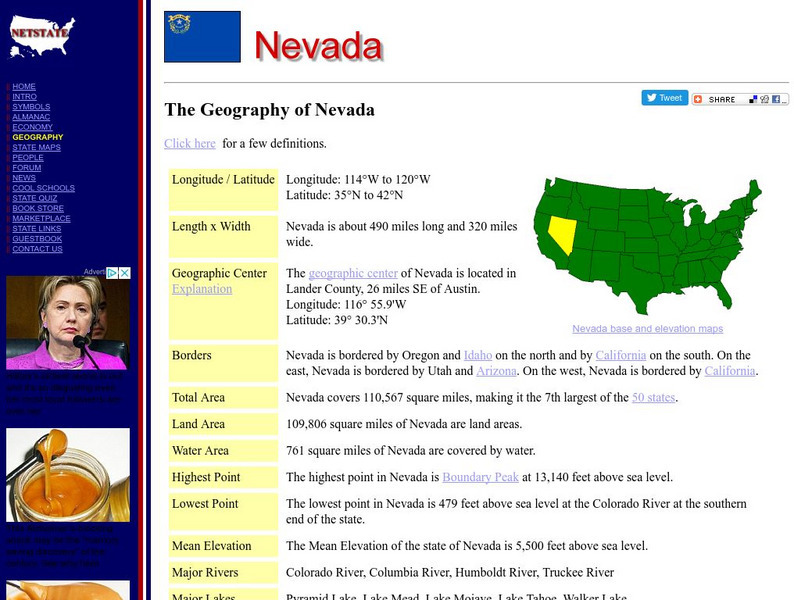
Net state.com: The Geography of Nevada
Here you will find a variety of facts about the geography of the state of Nevada. Find out the geographic center, total area, elevations and much more.
NSTATE
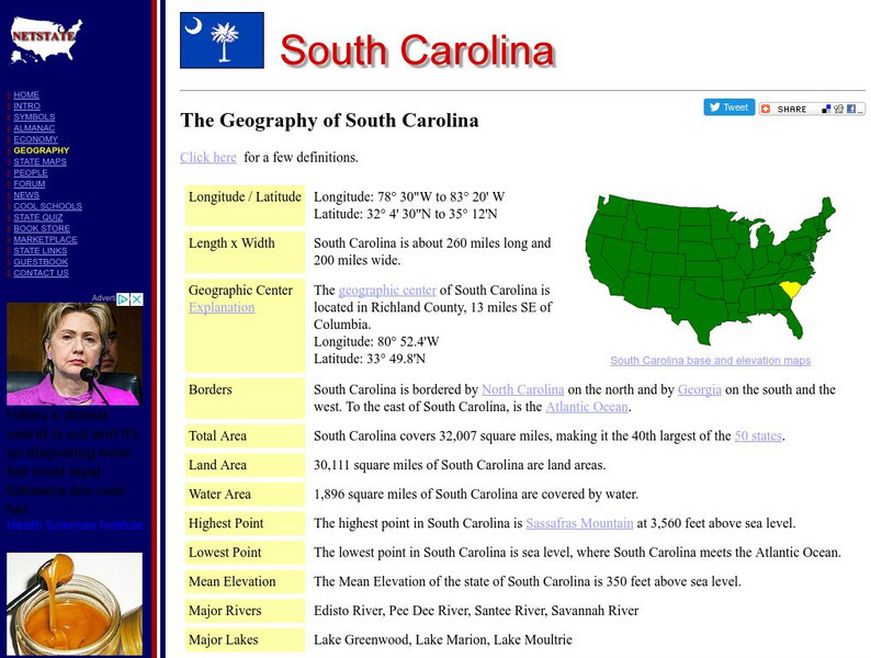
The Geography of South Carolina
Here you will find a variety of cool facts about the geography of the state of South Carolina. Find out the geographic center, total area, elevations and much more.
NSTATE
Netstate.com: The Geography of Arkansas
Quick facts about the geography of Arkansas including land area, highest and lowest points, elevations, lakes, rivers, regions, and climate.
Other popular searches
- Latitude and Longitude Maps
- Longitude & Latitude Maps
- Longitude Latitude Maps
- Maps, Latitude/longitude


