Curated OER
European Country Map
In this Europe political map worksheet, students examine the national boundaries. The country names are labeled on the map.
Curated OER
Europe: Political Map
In this Europe political map instructional activity, students examine each country's boundaries. The map also highlights each of the nation's capitals with a star.
Curated OER
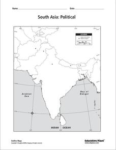
South Asia: Political Map
In this South Asia political map worksheet, students examine the national boundaries. The map also highlights each country's capital city.
Curated OER
Mexico: Political Map
In this Mexico political map worksheet, students examine state boundaries. The map also highlights major cities in Mexico.
Curated OER
USA Map
In this United States political map worksheet, students examine state boundaries. The map may be used in a variety of classroom activities.
Curated OER
Mexico Map
In this blank outline map worksheet, students study the political boundaries of the North American country of Mexico. This map may be used in a variety of classroom activities.
Curated OER
Mexico and Central America Map
In this outline map activity, students study the political boundaries of Mexico and the Central American countries. This map is labeled with the country names.
Curated OER
Central American Map
For this Central American political map worksheet, students examine the boundaries of this region of the world. The map may be used in a variety of classroom activities.
Curated OER
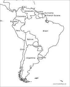
South America Outline Map
For this blank outline map worksheet, students explore the political boundaries of South America and the nations there. This map may be used in a variety of classroom activities. The map is labeled with the country names.
Curated OER
Map Key
In this map reading activity, students read the map key and then cut our and paste the symbols where they belong on the provided map.
Curated OER
South America Map
In this South America political map learning exercise, students examine the country boundaries. The map also labels each of the countries and their capitals.
Curated OER
Canada Outline Map: Labeled
In this blank outline map worksheet, students study the political boundaries of the North American country of Canada as well as those of the provinces located there. This map is labeled.
Curated OER
Mexico Outline Map 2
In this outline map worksheet, students discover and investigate the North American country of Mexico. This blank outline map may be used for a variety of classroom activities.
Curated OER
South America Outline Map
In this blank outline map instructional activity, students explore the political boundaries of South America and the nations there. This map may be used in a variety of classroom activities. The location of the capital cities are...
Curated OER
Australia Map: Labeled
For this Australia outline map worksheet, students make note of the political divisions of the 5 provinces and territories of the nation. This map is labeled.
Curated OER
USA Postal Abbreviations Map
In this United States political map worksheet, students examine the postal abbreviations of each of the states.
Curated OER
South east Asia and the South Pacific: Political: Labeled Map
In this Asia and the South Pacific map worksheet, students examine the boundaries of the nations in this region of the world. Students also note the location of capital cities as they are denoted by stars. This map is labeled.
Curated OER
World: Political Map
In this world political outline map worksheet, students examine boundaries of each of the countries in the world. This map not is labeled.
Curated OER
Central America: Unlabeled Map
In this Central American political map learning exercise, students examine the boundaries of the countries and capital cities located in this region of the world.
Curated OER
Canada: Outline Map
In this Canadian political map worksheet, students examine Canada's province boundaries. The map also highlights each of the province's capitals with a star.
Curated OER
Central America Map
In this Central American political map worksheet, students make note of national boundaries and capitals in this region of the world.
Curated OER
Asia and the South Pacific: Political Map
In this Asia and the South Pacific map worksheet, students examine national political boundaries and national capitals in this region of the world.
Curated OER
Canada Outline Map
In this blank outline map worksheet, learners study the political boundaries of the North American country of Canada as well as those of the provinces located there.
Curated OER
Canada Outline Map
In this Canada outline map worksheet, students make note of the political divisions of the provinces and territories of the nation.
Other popular searches
- United States Maps
- Weather Maps
- Topographic Maps
- Story Maps
- Maps and Charts
- Types of Maps
- Maps and Globes
- Middle East Maps
- Maps and Flags
- Historical Maps
- Maps of Europe
- Create Character Maps


