Curated OER
Using a Preview Checklist with Informational Text
Sixth graders identify information from texts by working in pairs using Wikki Stix or highlighting tape to locate, mark, and read items on preview checklist. Students then compare what they marked with what another pair marked.
Curated OER
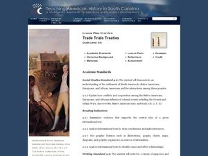
Trade Trials Treaties
Fourth graders explore the trade relationships that existed in the late 1700's Colonial America. In this American history instructional activity, 4th graders examine English and Cherokee trade treaties by reviewing primary and...
Curated OER
A Lesson on Reconstruction Legislation and Amendments
Learners study the legislation and Amendments of Reconstruction period in America. In this Reconstruction lesson, students work in groups to dissect the Black Codes, an article in the US Constitution, as well as the 13th, 14th, and...
Curated OER
Permeability and Porosity of Somerset County Sediments
Students predict and test the permeability and porosity of sediments in Somerset County, New Jersey. They discuss what how porous they think the sediment of HMS grounds is and why. Students walk around the HMS campus and collect six...
Curated OER
World Capitals Quiz
In this online interactive geography quiz activity, learners respond to 195 identification questions about the capital cities of countries in the world. Students have 12 minutes to complete the quiz.
Curated OER
European Capitals Quiz
In this online interactive geography quiz worksheet, students respond to 45 identification questions about the capitals cities of European countries. Students have 5 minutes to complete the quiz.
Curated OER
Most Populous Countries Quiz
In this online interactive geography quiz worksheet, learners respond to 20 identification questions about the world's most populous countries. Students have 3 minutes to complete the quiz.
Curated OER
Top World Languages Quiz
In this online interactive geography quiz worksheet, students respond to 50 identification questions about world languages. Students have 5 minutes to complete the quiz.
Curated OER
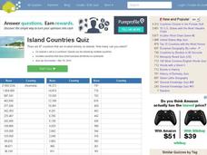
Island Countries Quiz
In this online interactive geography quiz worksheet, students respond to 48 identification questions about island nations in the world. Students have 5 minutes to complete the quiz.
Curated OER
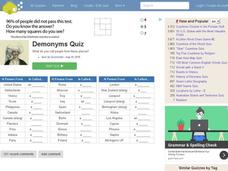
People from Places Quiz
In this online interactive geography quiz worksheet, students respond to 20 identification questions about what people from certain areas of the world are known as. Students have 4 minutes to complete the quiz.
Curated OER
English-Speaking Countries Quiz
In this online interactive geography quiz worksheet, students respond to 17 identification questions regarding English-speaking countries. Students have 4 minutes to complete the quiz.
Curated OER
Countries w/ Biggest Economies Quiz
In this online interactive geography quiz worksheet, students respond to 20 identification questions about the economies of countries in the world. Students have 4 minutes to complete the quiz.
Curated OER
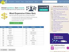
Most Expensive Cities Quiz
In this online interactive geography quiz activity, students respond to 20 identification questions about the most expensive cities in the world. Students have 4 minutes to complete the quiz.
Curated OER
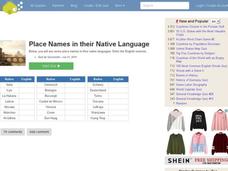
Foreign Place Names Quiz
In this online interactive geography quiz worksheet, students respond to 20 identification questions about foreign place names. Students have 4 minutes to complete the quiz.
Curated OER
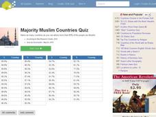
Majority Muslim Countries Quiz
In this online interactive geography quiz worksheet, students respond to 47 identification questions about Muslim cities. Students have 4 minutes to complete the quiz.
Curated OER
Asian Capitals Quiz
In this online interactive geography quiz instructional activity, students respond to 48 identification questions about the capital cities of Asian countries. Students have 6 minutes to complete the quiz.
Curated OER
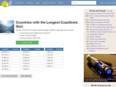
Countries w/ Longest Coastlines Quiz
In this online interactive geography quiz worksheet, students respond to 20 identification questions about world countries with the longest coastlines. Students have 4 minutes to complete the quiz.
Curated OER
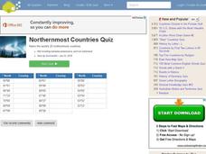
Northernmost Countries Quiz
In this online interactive geography quiz learning exercise, learners respond to 20 identification questions about cities located in the northernmost regions of the world. Students have 4 minutes to complete the quiz.
Curated OER
Top Wine Producing Countries Quiz
In this online interactive geography quiz worksheet, students respond to 20 identification questions about wine producing countries in the world. Students have 4 minutes to complete the quiz.
Curated OER
Global Cities Quiz
For this online interactive geography quiz worksheet, students respond to 100 identification questions about world cities. Students have 8 minutes to complete the quiz.
Curated OER
Famous Rivers Quiz
In this online interactive geography worksheet, students examine the descriptions of 16 famous rivers and identify them by name within 3 minutes.
Curated OER
Biggest US City by Letter Quiz
In this online interactive geography quiz worksheet, students respond to 26 identification questions about U.S. cities. Students have 5 minutes to complete the quiz.
Curated OER
South American Capitals Quiz
For this online interactive geography quiz worksheet, students respond to 12 identification questions about the capital cities of South America. Students have 4 minutes to complete the quiz.
Curated OER
Countries Bordering Russia Quiz
In this online interactive geography quiz worksheet, students respond to 14 identification questions regarding countries that border Russia. Students have 4 minutes to complete the quiz.
Other popular searches
- Analyze Maps and Charts
- Reading Maps and Charts
- Charts and Maps
- Ireland Maps and Charts
- Tables, Maps and Charts
- Maps, Charts, Globes
- Graphs Charts and Maps
- Interpreting Charts and Maps
- Tables Maps and Charts
- Graphs, Charts and Maps
- Graphs\, Charts and Maps
- Charts, Graphs, Maps


