Nations Online Project
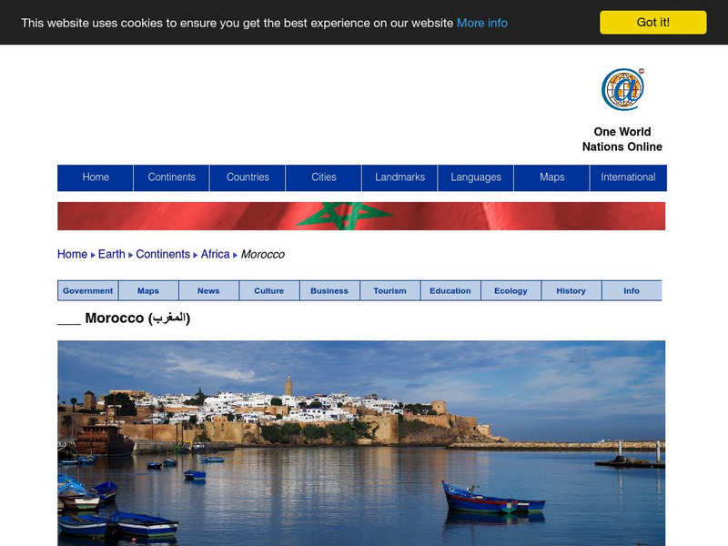
Nations Online: Morocco
Great reference source that takes you on a virtual trip to the North African nation of Morocco. Background overview is given on its art, culture, people, environment, geography, history, economy, and government. There are numerous links...
Other
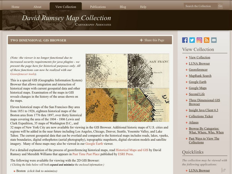
David Rumsey Historical Map Collection
The collection of more than 150,000 maps focuses on rare 18th and 19th-century maps of North and South America, although it also has maps of the World, Asia, Africa, Europe, and Oceania. The collection includes atlases, wall maps,...
Nations Online Project
Nations Online: Tunisia
Explore this page to get a country profile of the North African nation of Tunisia, background details, travel guide and numerous links to an abundance of information on the nation's culture, history, geography, economy, environment,...
Curated OER
Educational Technology Clearinghouse: Maps Etc: Pre Colonial Africa, 1872
A map of Africa showing the continent prior to the Berlin Conference of 1885, when the most powerful countries in Europe at the time convened to make their territorial claims on Africa and establish their colonial borders at the start of...
Curated OER
Etc: Colonization of North Western Africa, 1845 1900
Map of Northwestern Africa, subtitled "French Colonization." This map shows the Barbary States of Morocco, Algeria, and a portion of Ottoman controlled Tripoli. The map is color-coded to show the progression of French occupation in...
Curated OER
Educational Technology Clearinghouse: Maps Etc: The Barbary States, 1802 1805
A map of the Mediterranean Sea region showing the Barbary States and southern Europe at the time of the Tripolitan War (First Barbary War - 1801-1804) between the United States and the North African Ottoman Empire regencies. The map...
Nations Online Project
Nations Online: Mauritania
Presents a virtual destination guide and country profile of the North African nation of Mauritania, background overview, and numerous links to an abundance of information on the nation's culture, history, geography, economy, environment,...
Curated OER
Carver, Jonathan 1781, New Map of North America
"The David Rumsey Historical Map Collection focuses on rare 18th and 19th century North and South America cartographic history materials. Historic maps of the World, Europe, Asia and Africa are also represented. The collection categories...
AllRefer
All Refer Reference: Libya: Introduction & Country Profile
Presented is a guide to important information about the economy, geography, people, government, and military of Libya. There is also a map and a picture of the flag of this North African country.
SMART Technologies
Smart: World Map
This lesson features a world map with labeled countries, a global map, and an interactive map of the seven continents.
A&E Television
History.com: How Far Did Ancient Rome Spread?
Legend has it that Romulus and Remus -- twin brothers who were also demi-gods -- founded Rome on the River Tiber in 753 B.C. Over the next eight and a half centuries, it grew from a small town of pig farmers into a vast empire that...
Curated OER
Etc: Rome & Carthage End of the Second Punic War, 218 201 Bc
A map of Rome and Carthage during the Second Punic War (218-201 BC). This map is color-coded to show the extent of the Roman Empire in yellow and the Carthaginian territory in pink. At this time, the Roman Empire was primarily restricted...
abcteach
Abcteach: Social Studies: Places
[Free Registration/Login Required] Generate graphic organizers, report forms, Venn diagrams, shape books and much more on the continents of the world. Sub-directories include links to games, maps, word searches and comprehension...
National Geographic Kids
National Geographic Kids: Morocco
Click-through facts-and-photo file about Morocco's geography, nature, history, people and culture, and government. Includes a map of the country that pinpoints its North African location and a video about a daily festival of sights and...
Other
University of Delaware: Plate Tectonics
This site is a very simple overview of plate tectonics. It includes a map of all the major plates and a diagram of the layers of the earth.
Other
Grand Canyon Explorer: Continental Drift
Maps and detailed descriptions of the breakup of Pangea due to a great rift opening.
ClassFlow
Class Flow: Continents of the World
[Free Registration/Login Required] This flipchart is devoted to identifying, locating, and learning facts about the 7 continents. It contains interactive maps, facts, and a short video at the end.


