Cool Math
Coolmath: Coolmath Games: Map Snap: Europe
You are presented with an outline map of Europe and you must place each country in its correct position. It clicks into place if you're in the right spot. You may want to start with the practice mode which has the shape outlines of the...
University of Texas at Austin
Perry Castaneda Library Map Collection: Historical Maps: Europe, a.d.1560
Detailed map of Europe around A.D. 1560.
Curated OER
University of Texas: Maps: Europe
This map of Europe shows Turkey's place in both Europe and Asia.
W. W. Norton
W.w. Norton & Company: Map of Europe After the Congress of Berlin, 1878
Contains a map of Europe after the Congress of Berlin in 1878.
Library of Congress
Loc: World War Ii Military Situation Maps
World War II Military Situation Maps contains maps showing troop positions beginning on June 6, 1944 to July 26, 1945. Starting with the D-Day Invasion, the maps give daily details on the military campaigns in Western Europe, showing the...
BBC
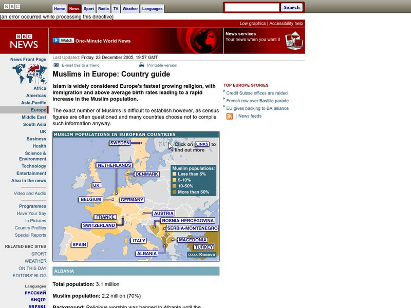
Bbc: Muslims in Europe: Country Guide
Information about the Muslim population in Europe can be obtained by clicking on this interactive map. (23 December 2005)
BBC
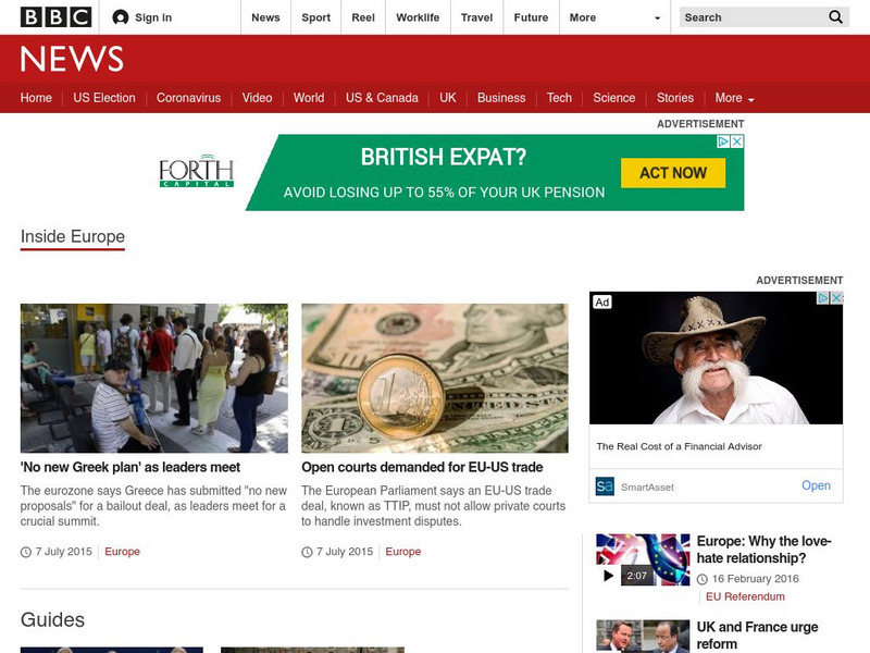
Bbc News: Inside Europe
This site focuses on the current events of the European Union. The items included are news stories, photos, country profiles, maps, and much more on this thorough site.
Ducksters
Ducksters: Geography Games: Map of Europe
Play this fun geography map game to learn about the locations of the countries of Europe.
University of California
Earthguide: Maps: Shaded Relief: Europe [Pdf]
View a digital image of a colored shaded relief map of Europe.
That Quiz
That Quiz: Practice Test: Europe
This resource provides a practice test which allows users to test their geographical knowledge of Europe.
University of Calgary
University of Calgary: The End of Europe's Middle Ages
This useful tutorial includes information about the economy, feudalism, the Holy Roman Empire and other important topics pertaining to Europe in the fourteenth and fifteenth centuries, a time of transition in European history. Easy to...
National Geographic Kids
National Geographic Kids: Europe: Spain
Welcome to Spain! Follow this interactive overview of the country's history, geography, people, government, nature, and more. A map and video are included.
National Geographic Kids
National Geographic Kids: Europe: United Kingdom
Welcome to the United Kingdom! Follow this interactive overview of the country's history, geography, people, government, nature, and more. A map and video are included.
Other
Stadtplandienst Map Service
A helpful tool in finding locations in Germany. Just type in an address or town/city, or click on the interactive map, and receive a map of your destination. This site is only in German.
NOAA
Noaa: Cpc: Regional Climate Maps
Provides large colorful maps of climate data about each continent for the current week, month, or previous quarter.
European Union
The European Parliament
Overview of the European Parliament, president, organization, purpose, maps of Europe.
Curated OER
University of Texas: Historical Maps: Europe During the 15th Century
Large map of 15th century Europe. Click on map to enlarge it. From the Perry-Castenada Collection.
University of Texas at Austin
Perry Castenada Collection: Europe in the 12th Century, the Age of the Crusades
Large map of 12th century Europe and the Christian states in the East during the Crusades. From the historical maps in the Perry-Castaneda Collection.
Curated OER
European Library: European Libraries: Treasures: Map of Europe
Map of Europe, with countries delineated.
Ancestry
Europe After the Congress of Vienna, 1815
Map of Europe after the Congress of Vienna of 1815, showing the gains of Prussia, Russia, Sardinia, and Austria, as well as the boundaries of the German Confederation.
National Geographic
National Geographic: Gathering Ideas About Europe
Lesson in which young scholars locate Europe on the map and describe physical and human characteristics of Europe. Lesson contains three adaptable interactive activities with comprehensive materials.
Library of Congress
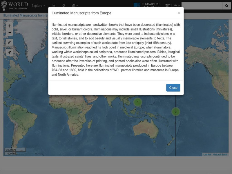
World Digital Library: Illuminated Manuscripts From Europe: Map
A collection of primary source materials linked to a map that showcase illuminated manuscripts from 764 to 1889 that are in European museums and libraries. Click on a numbered circle and a popup appears showing one or more thumbnails and...
University of Texas at Austin
The Perry Castaneda Library Map Collection
This collection contains more than 250,000 maps covering all areas of the world, and ranging from political and shaded relief maps to the detailed and the historical. Select from a region of the world or an area of highlighted interest.
Other popular searches
- Blank Maps of Europe
- Outline Maps of Europe
- Geography Maps of Europe
- Maps of Europe 1914
- Maps of Europe Political
- Maps of Europe Ppt
- Maps of Europe Pot
- Maps of Europe 1919
- Europe Maps
- Europe Outline Maps
- Europe Geography Maps
- Western Europe Maps


