Curated OER
Etc: The Country Around Boston, 1775 1783
A map of the vicinity of Boston, Massachusetts during the American Revolutionary War. An inset map details the immediate neighborhood around Boston.
Curated OER
Etc: The Concord Neighbourhood, 1830 1880
A map of the vicinity of Concord, Massachusetts, during the Transcendentalism Movement around 1830 to 1880. The map shows the important sites related to the works of Ralph Waldo Emerson, Henry David Thoreau, Nathaniel Hawthorne, Bronson...
Curated OER
Etc: The Revolution in New England States, 1774 1783
A map of America's New England states during the time of the American Revolution, including Maine, New Hampshire (with Vermont), Massachusetts, Rhode Island, Connecticut, and Long Island. The map shows major cities, towns, forts, battle...
Curated OER
Etc: State Claims to Western Lands, 1783 1802
A map of the United States east of the Mississippi River showing the State claims between 1783-1802. The map shows the western territorial boundary established by the Treaty of 1783 between Britain and the United States, the State claims...
Curated OER
Etc: New England Colonies, 1620 1638
A map of the New England colonies showing the early permanent Pilgrim settlements and their dates of establishment, including Plymouth (1620), Little Harbor, New Hampshire (1623), Pemaquid, Maine (1625), Salem, Massachusetts (1628),...
Curated OER
Etc: Shell Heaps on Cape Cod, Pre European
A sketch map of Cape Cod showing the sites of shell mounds along the coast line indicating the sites of early Native American settlements.
Curated OER
Etc: The Campaign Around Boston, 1775 1776
A map of the vicinity of Boston showing the campaign around the city during the opening of the American Revolution, and includes the route of the British to Concord and Bunker Hill.
Curated OER
Early Settlements in New England and Distribution of the Indian Tribes, 1686
A map of the Dominion of New England (1686), showing the early settlements and the general tribal lands of the Pawtuckets, Massachusetts, Wampanoags, Narragansets, Nipmucks, Pequods, and Mohegans. "New England, a collective name given to...
Other
Do History: Martha Ballard's Diary Online
This site invites viewers "to piece together the life and world of an "ordinary" person from the past." The site boasts thousands of original documents that include diaries, maps, letters, and court records of a midwife from...
Khan Academy
Khan Academy: Puritan New England: Plymouth
An overview of the Puritans who facing religious persecution in England set sail for the New World establishing the colony at Plymouth.
EL Education
El Education: An Immigrant Experience
As part of a Learning expedition on immigration, 4th grade students in Springfield, Massachusetts, created this series of interview booklets. Students, working together in small groups, interviewed a person who had immigrated to the...
EL Education
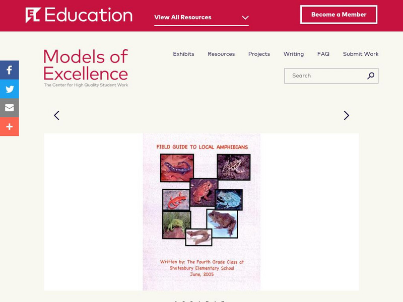
El Education: Field Guide to Local Amphibians
The Field Guide to Local Amphibians was created by 4th graders in Shutesbury, Massachusetts. It was created as one aspect of a three-month Learning Expedition on amphibians. Students collected town data for a statewide amphibian census;...
EL Education
El Education: Springfield, Usa an Atlas
Students from Springfield, Massachusetts learn about geography by creating maps and gathering information about the cities and towns named Springfield throughout the United States of America. Students gather information through book and...


