Other
Nmsea: Electrolysis: Obtaining Hydrogen From Water
The New Mexico Solar Energy Association provides an article entitled, "Electrolysis: obtaining hydrogen from water - the basis for a solar-hydrogen economy". The article is medium size in length with pictures and charts throughout to help.
Smithsonian Institution
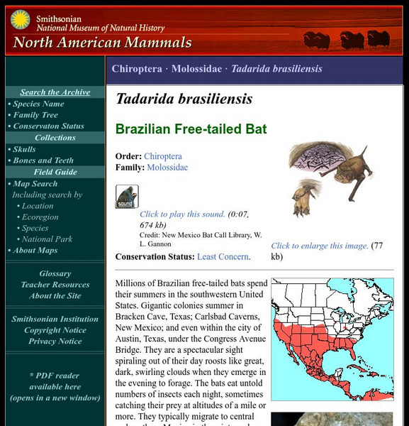
National Museum of Natural History: American Mammals: Brazilian Free Tailed Bat
Millions of Brazilian free-tailed bats spend their summers in the southwestern United States. Gigantic colonies summer in Bracken Cave, Texas; Carlsbad Caverns, New Mexico; and even within the city of Austin, Texas, under the Congress...
Smithsonian Institution
National Museum of Natural History: American Mammals: Plains Pocket Mouse
The color of the Plains Pocket Mouse varies with soil color. The black volcanic sands near Flagstaff, Arizona harbor mice with nearly black fur, and mice with nearly white fur match the white gypsum dunes of New Mexico. Learn more about...
Smithsonian Institution
National Museum of Natural History: American Mammals: Preble's Shrew
Very little is known about the natural history of Preble's Shrew, which has been found in widely separate localities in much of the western United States. Specimens have been collected at elevations of 1,280 m in Oregon and 2,750 m in...
Smithsonian Institution
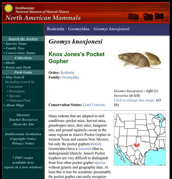
National Museum of Natural History: American Mammals: Jones's Pocket Gopher
Many rodents that are adapted to arid conditions--pocket mice, harvest mice, grasshopper mice, deer mice, kangaroo rats, and ground squirrels--occur in the same regions as Jones's Pocket Gopher in western Texas and eastern New Mexico,...
Siteseen
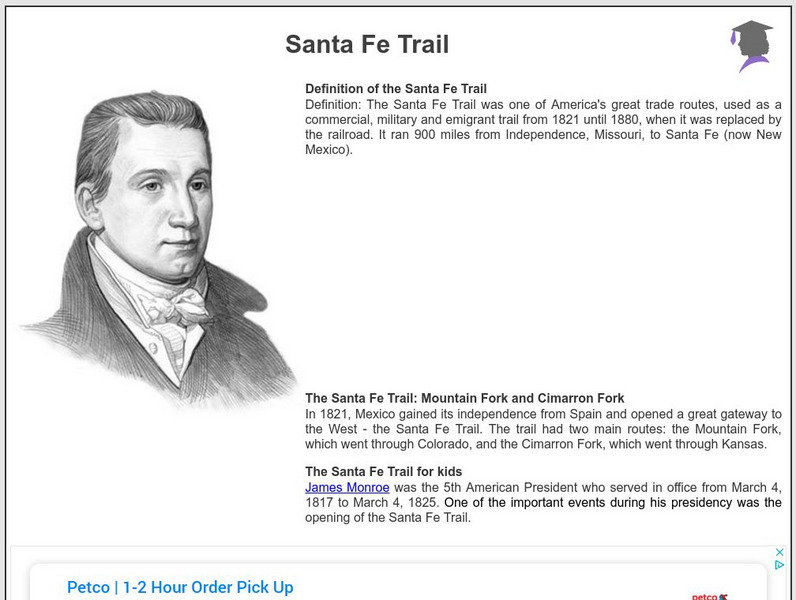
Siteseen: American Historama: Santa Fe Trail
Provides 20 interesting facts and important information about the 900-mile route from Independence, Missouri, to Santa Fe, New Mexico from 1821 until 1880.
Van Gogh Gallery
The Van Gogh Gallery: Georgia O'keeffe
Biographical account covers the life and career of Georgia O'Keeffe, American artist known for her paintings of magnified flowers, animal skulls, and New Mexico desert landscapes.
Library of Congress
Loc: The Cultures and Histories of the Americas
An online exhibit of a vast array of documents, artifacts, and maps detailing cultures in the Americas including the indigenous groups as well as Europeans after contact. From the Library of Congress.
Other
Mostly fiction.com: Laura Esquivel
A review of "The Law of Love" from MostlyFiction.com and a short biography of the author, Laura Esquivel.
CRW Flags
Flags of the World: Clickable Map of the United States
Includes both printable images and fascinating trivia behind the flag of each state. It includes alternate flags used in the past.
Other
American Girl: Josephina: A Hispanic Girl
Meet Josepina, a character in the American Girl series, and learn about Spanish culture and the settlement of America's Southwestern frontier through this collection of stories, games, and activities. Also, includes teacher's guide and...
Varsity Tutors
Varsity Tutors: Web English Teacher: Rudolfo Anaya Lesson Plans
What do you know about the life and work of Rudolfo Anaya? This site provides links to learn more about this fascinating Hispanic author.
Duke University
Duke University: The Pueblo Revolt of 1680
The story of the Pueblo Revolt of 1680 is told with a timeline showing events leading up to the revolt, a narrative of the revolt itself and its consequences, and brief biographies of many of those involved in Spanish America, and the...
Library of Congress
Loc: Hispano Music & Culture of the Northern Rio Grande
Collection of online resources on the Hispanic arts and culture of the Southwestern United States. Exhibits include essays, audio files, and links to related sites.
Countries and Their Cultures
Countries and Their Cultures: Mescalero Apache
Learn about the culture of the Mescalero Apache, a Native American tribe. Explore topics such as their history, economy, cultural values, religion, and sociopolitical organization.
Country Studies US
Country Studies: Encomiendas
Read this good description of the encomienda system that was set up by the Spanish to reward the Spanish colonizers in the New World and to subjugate the indigenous people by requiring their labor on the granted land.
Texas State Historical Association
Texas State Historical Association: Republic of Texas
A detailed history of the Republic of Texas, starting with its initial birth in 1836 when its Constitution was written, and the end of Texas's conflict with Mexico. The article discusses the many issues faced by the new Republic, the...
Curated OER
Etc: Maps Etc: Comparative Areas of the United States and Other Countries, 1872
A map from 1872 of the United States used to illustrate the comparative area sizes of the states to other countries in the world. The map shows state and territory boundaries at the time (Dakota, Montana, Washington, Idaho, Wyoming,...
Curated OER
Etc: The Territory of the United States, 1845 1886
A map from 1886 of the United States showing the territories ceded by Mexico and the acquisition of Alaska. The map is color-coded to show the possessions of the United States, Great Britain, and Mexico at the time, and the Mexican...
Curated OER
Educational Technology Clearinghouse: Maps Etc: Compromise of 1850, 1850
A map of California and the western territories at the time of the Compromise of 1850. The compromise was a series of bills dealing with the slavery issue, and under its provisions California was admitted to the Union as a free state,...
Curated OER
Etc: Maps Etc: The Slavery Prohibition Compromise of 1850, 1850
A map of California, the Utah Territory, and the New Mexico Territory in 1850 showing the effect of the Compromise of 1850, a series of bills intending to settle the issue of slavery and abolition raised in the territories after the...
Curated OER
Educational Technology Clearinghouse: Maps Etc: The United States, 1890
A map from 1890 of the United States showing the territorial expansion from the original Thirteen Colonies to the states and territories of 1890. This map shows state capitals, railroads, lakes, and rivers. The map is color-coded to show...
Curated OER
Educational Technology Clearinghouse: Maps Etc: Drawing the United States, 1872
A map skills exercise from 1872 showing the drawing of the United States with proportional measurements. The map shows state and territory boundaries at the time (Dakota, Montana, Washington, Idaho, Wyoming, Utah, Oklahoma, New Mexico,...
Other popular searches
- New Mexico Geography
- New Mexico History
- Cities in New Mexico
- History of New Mexico
- New Mexico History Lessons
- New Mexico Map
- New Mexico State
- Acrostic Poem About New Mexico
- Social Studies New Mexico
- 1821 1848 New Mexico
- New Mexico Hisrory Lessons
- Map of New Mexico


