Curated OER
Etc: Maps Etc: Africa Before the Berlin Conference, 1884
This is an interesting map of Africa showing the continent before the Berlin Conference of 1885, when the most powerful countries in Europe at the time convened to make their territorial claims on Africa and establish their colonial...
Curated OER
Etc: Maps Etc: Physical and Political Map of Africa, 1879
Map of pre-colonial Africa, showing the predominately native countries and territories of the African continent in 1879. The counties include the Barbary States of Morocco, Algeria, Tunis, Tripoli and Fezzan, the Egyptian territories of...
Curated OER
Educational Technology Clearinghouse: Maps Etc: Suez Canal, 1909
A map of the Suez Canal in 1909 from Port Said on the Mediterranean in the north to Port Ibrahim on the Gulf of Suez in the south. The map shows the railroad connecting the city of Suez to Cairo and the rest of the Nile Delta, freshwater...
Curated OER
Educational Technology Clearinghouse: Maps Etc: Suez Canal, 1919
A map of the Suez Canal in 1919 from Port Said on the Mediterranean in the north to Port Ibrahim on the Gulf of Suez in the south. The map shows the railroad connecting the city of Suez to Cairo and the rest of the Nile Delta, freshwater...
Curated OER
Educational Technology Clearinghouse: Maps Etc: Map of Egypt, 1858
Map of Egypt in 1858 from the Nile Delta south to the First Cataract, showing Cities, trade centers, oases, ports, railways, and the site of the proposed Suez Canal. Portions of the Libyan Desert, the Mediterranean Sea, the Red Sea and...
Curated OER
Eternal Egypt: Statuette of the Soul of Buto
This statuette depicts the falcon-headed deity who is associated with Buto, the ancient capital of the Nile Delta before unification. The deity is also known as the "Soul" of Buto.
University of Manchester
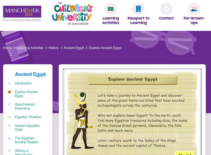
Children's University of Manchester: Explore Ancient Egypt
Explore and learn about places in Ancient Egypt on this interactive map. Next, try to place them to the correct locations on the map, and take a quiz on facts you read about them.
Curated OER
Educational Technology Clearinghouse: Maps Etc: Ancient Egypt, 525 Bc
A map of Egypt at the time of the Persian conquest by Cambyses (525 BC) at the end of the Twenty-Sixth Dynasty under Psamtik III. The map shows the delta city of Pelusium and the lower capital of Moph (Memphis) conquered by Cambyses. At...
Curated OER
Etc: Maps Etc: Population Density in Africa, 1916
A map showing the population density of Africa in 1916 showing density ranges from under 2 inhabitants to areas along the Nile River valley and delta of more than 512 inhabitants per square mile.


