Curated OER
Merriam Webster: Visual Dictionary Online: North America
Labeled map of the major geographical features of North America.
Curated OER
Etc: Maps Etc: Terminal Moraine Region of North America, Second Glacial Epoch
A map from 1882 of the drift bearing area in the northern United States and Canada, showing the generalized directions of glacial movement, the direction of glacial striae, and the locations of prominent terminal moraines.
University of Georgia
University of Georgia: The United States of North America in 1796
A large map from 1796 of the U.S. States and Territories at the time.
Geographic
Map of Canada
Basic map of Canada. Includes major cities, coastlines, major lakes and rivers, and bays.
Smithsonian Institution
National Museum of Natural History: The Hall of Arctic People
This is the online version of the Smithsonian Institute's exhibit devoted to the people of the Siberian and North American Arctic. The mannequins around the walls represent the peoples of the Crossroads region, dressed in traditional...
National Geographic Kids
National Geographic Kids: Animals: River Otter
This multimedia article reveals the natural history of otters. The facts, maps, and video and audio clips are perfect resources for research.
The Newberry Library
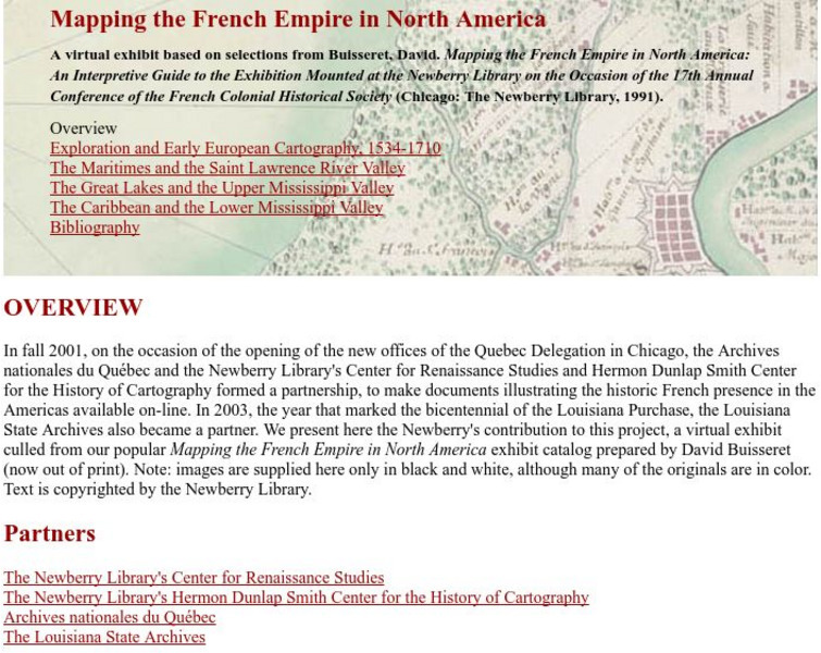
Newberry Library: Library Exhibit: Mapping the French Empire in North America
A virtual exhibit containing documents illustrating the historic French presence in the Americas.
Curated OER
Carver, Jonathan 1781, New Map of North America
"The David Rumsey Historical Map Collection focuses on rare 18th and 19th century North and South America cartographic history materials. Historic maps of the World, Europe, Asia and Africa are also represented. The collection categories...
Curated OER
Etc: America at the Time of the Revolution, 1764 1789
A map of eastern North America showing "America at the time of the revolution." - Foster, 1921. This map shows the major divisions and boundaries of the revolutionary time period, including the Spanish Territory west of the Mississippi,...
Curated OER
Etc: Maps Etc: Conifers in Canada and Eastern United States, 1911
A map from 1911 of North America showing the distribution patterns of the dominant conifers in Canada and eastern United States to Alaska. The species shown are Picea mariana (Black Spruce), Larix laricina (Tamarack), Pinus divaricata...
Curated OER
Etc: Maps Etc: British Colonies After the French and Indian War, 1764
A map of the eastern portion of North America showing the British, Spanish, and Indian territories after the French and Indian War (1754-1763), with the proclamation line as established by the Treaty of Paris (1763). "The newly acquired...
Curated OER
Etc: Maps Etc: Economic Activity in United States and Canada, 1915
Principal crops throughout North America.
Curated OER
Etc: Maps Etc: Roads Routes Along the Canada and New York Border, 1920
A map from the 1920 Automobile Club of Rochester showing automobile routes of New York around Lake Champlain and the southern portions of Canada from Kingston on Lake Ontario to Ottawa and Montreal to the north. The map shows route...
National Humanities Center
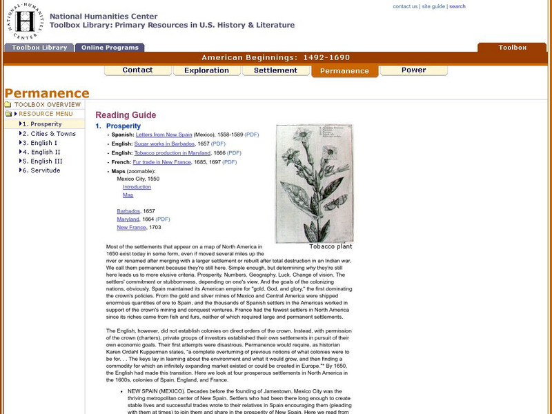
National Humanities Center: Toolbox Library: Prosperity, American Beginnings: 1492 1690
Four original source accounts, and four related maps, of successful English, French, and Spanish settlements in North America and the Caribbean that explain the qualities of these settlements and their reasons for permanence and prosperity.
National Humanities Center
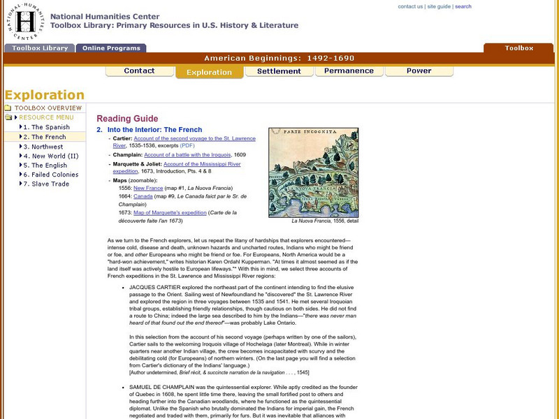
National Humanities Center: Toolbox Library: The French, American Beginnings: 1492 1690
Three maps reflecting French exploration along rivers in North America and three French explorers' accounts of the astonishing hardships they endured and the possibilities for trade with natives they opened.
National Humanities Center
National Humanities Center: Toolbox Library: Rivalry Iii, American Beginnings: 1492 1690
Two maps of English and French rivalries in North America, and two side-by-side accounts of the English and French perspectives on King William's war over power, trade, and economic dominance of the continent.
National Humanities Center
National Humanities Center: Toolbox Library: The Spanish, American Beginnings: 1492 1690
Two maps and four accounts of the Spanish exploration of North America that reflect the goals of the conquistadors and fascination with the land they examined-and the brutality of their treatment of native peoples.
National Humanities Center
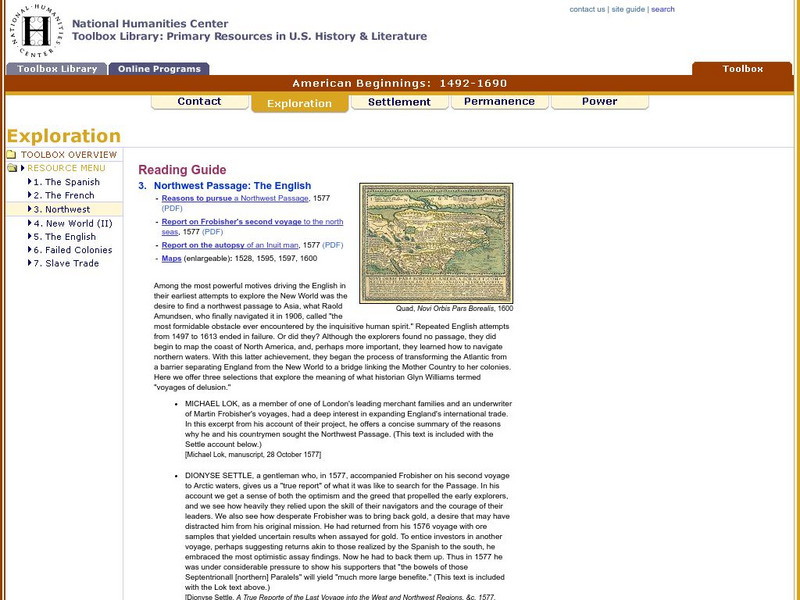
National Humanities Center: Toolbox Library: Northwest Passage, American Beginnings: 1492 1690
Four maps examining the hunt for a Northwest Passage and three English accounts detailing the curiosity, greed and optimism that fueled English exploration of North America.
Other
Bryan Strome : First Nations Seeker
An alphabetical listing and detailed map showing the location of the lands of the aboriginal tribes and linguistic groups found in North America.
Kidport
Kidport: United States of America Geography
This site contains a fun way to learn about the states within the United States. Click on the state that you want to learn more about and it provides facts, geographic landmarks, points of interest, major industries, a quiz and more.
Other
Vox: 37 Maps That Explain the American Civil War
April 1865 was a momentous month in American history. On April 9, the Confederate army under Robert E. Lee surrendered to the Union forces of Ulysses S. Grant, effectively ending the Civil War. Then on April 14, the victorious President...
Curated OER
Etc: Maps Etc: Mexico and Western North America, 1845
A map of Mexico in 1845, prior to the ceding of the northern territories to the United States in 1846. The map shows the territories of Oregon, Texas, and Central America under Mexican control, and the frontiers of the Missouri and...
Curated OER
Etc: Maps Etc: The Lake Region of North America, 1911
A map from 1911 showing the lake region of the Laurentian Plateau and adjacent areas, primarily north of the International boundary in the region known as the Canadian Shield. Only the principal lakes are shown. As indicated in the text,...
Curated OER
Kstrom: North America Native Pre Contact Housing Map
If you are researching the different kinds of housing of early native peoples, this site supplies an excellent colorcoded map. Detailed text and graphic drawings are included.
Other popular searches
- Map of North America
- North America Map Outline
- North America Map Reading
- North America Map Features
- North America Map 1750
- Ecosystems North America Map
- Physical Map North America
- North America Map Worksheets
- North America Map Outline%2
- Maps North America Migration
- North America Map Outline\%2
- Map Colonial North America


