Smithsonian Institution
National Museum of Natural History: American Mammals: Hog Nosed Skunk
The Smithsonian Museum of Natural History, in a section titled "North American Mammals," offers a general overview of the North American hog-nosed skunk. Additional content includes detailed drawings, photographs, and a map showing the...
Other
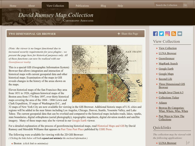
David Rumsey Historical Map Collection
The collection of more than 150,000 maps focuses on rare 18th and 19th-century maps of North and South America, although it also has maps of the World, Asia, Africa, Europe, and Oceania. The collection includes atlases, wall maps,...
Enchanted Learning
Enchanted Learning: Geography
At this site from Enchanted Learning, you can take a quiz, printout a map of the United States of America, and see where the Middle East is located in the world. Links are also provided for additional information.
Smithsonian Institution
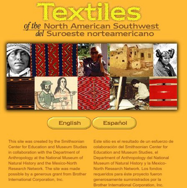
Smithsonian: Textiles of the North American Southwest
This site explores the weaving traditions of the Native American and Hispanic peoples of northern Mexico and the southwestern United States. A gallery of artifacts, timeline, map glossary, and textual descriptions are included. This is a...
Gabriel Dumont Institute
The Hudson's Bay Company Trading System [Pdf]
A 42 page learning module presenting a detailed history of the Hudson's Bay Company and the development of their fur trading routes. This document, published in PDF format, contains maps of the trading system, historical timelines and...
Curated OER
Etc: Maps Etc: French Posts and Forts in Louisiana and New France, 1754
A map of North America showing the French posts and forts at the beginning of the French and Indian War (1754) between the French and the British. The map is color-coded to show the territorial claims of the British, French, and Spanish...
Curated OER
Etc: Maps Etc: The United States and Neighbors, 1898
A map from 1898 of North America, Central America, Greenland, and the Caribbean to Puerto Rico, subtitled "The United States and its Neighbors in North America." The map is color-coded to show the possessions of Greenland (to Denmark),...
Curated OER
Educational Technology Clearinghouse: Maps Etc: Norse America, 861 1285
A facsimile of a map from the works of Carl Christian Rafn (1837) showing Iceland, Greenland, and the eastern portion of North America. The map shows the probable areas of pre-Columbian migration and exploration of the Norse from Iceland...
Curated OER
Etc: Maps Etc: North American Vegetation Regions, 1901
A map from 1901 of North America, Central America, Greenland, and the Caribbean to Puerto Rico showing the general vegetation regions. The map shows areas of deserts, tundras, and ice fields, areas of grassy lands, areas of open forests,...
Curated OER
Etc: Maps Etc: North American Population Density, 1910
A map from 1910 of North America, Central America, Greenland and the Caribbean showing population density distribution in the region at the time. The map is coded to show areas of population densities ranging from less than 1 inhabitant...
Curated OER
Educational Technology Clearinghouse: Maps Etc: The San Juan Boundary, 1883
A map of the Puget Sound area of North America showing the area of the boundary dispute between British Columbia and the United States. The San Juan Boundary was the source of a military conflict between the US and British North America....
Curated OER
Educational Technology Clearinghouse: Maps Etc: North American Colonies, 1783
A map of eastern North America in 1783 at the end of the American Revolutionary War, showing the territory of the newly formed United States as proposed by the Treaty of Paris, the Canadian border extending to the Ohio River proposed by...
Curated OER
Etc: Maps Etc: Distribution of Native Americans, 1500
A map from 1906 of North America central Canada to northern Mexico showing the distribution and territories of the Native Americans around 1500. The boundaries are based on linguistic stock and not tribal territories. "Anthropologists of...
Curated OER
Etc: N America Illustrating the Conquest of Canada and War of Indep, 1757 1783
A map of eastern North America illustrating the Conquest of Canada and the War of Independence (1757-1783). The map shows major cities of the time, major river ways, topography and political boundaries. The map is color-coded to show the...
Curated OER
Educational Technology Clearinghouse: Maps Etc: North American Region, 1578
George Beste's depiction of North America and the region around Frobisher's Strait.
Curated OER
Etc: Maps Etc: Drainage on the Laurentian Plateau, 1911
A map from 1911 of a portion of the Laurentian Plateau region of North America showing the drainage and lake network west of Lake Nipigon. The map shows the division line for waters flowing to the Albany and the Winnipeg river systems,...
Curated OER
Educational Technology Clearinghouse: Maps Etc: United States of America, 1783
Eastern North America shortly after the American Revolution, showing territory held by the United States, Britain, and Spain.
Curated OER
Educational Technology Clearinghouse: Maps Etc: Vegetation Regions, 1898
A base map from 1898 of North America, Central America, Greenland, and the Caribbean to Puerto Rico showing the general distribution of vegetation types in the region, including areas of deserts, tundras, and ice fields, areas of grassy...
Curated OER
Educational Technology Clearinghouse: Maps Etc: Northern Campaign, 1812 1814
A map of the Great Lakes region of North America showing the area of conflict during the northern campaign of the War of 1812, from Lake Michigan east to Lake Champlain and the Hudson River. The map shows the routes of Hull, Wilkinson,...
Curated OER
Educational Technology Clearinghouse: Maps Etc: King James' Patent, 1606
A map of eastern North America showing the territory of the King James Patent of 1606. The map is color-coded to show the territory granted the Plymouth Company and the London Company by King James I of England, which divided the...
Curated OER
Educational Technology Clearinghouse: Maps Etc: French Discoveries, 1600 1762
A map of northeastern North America showing the progress of French discovery in the interior of their claimed territories between 1600 and the French and Indian War (1762). The map is color-coded to show the French possessions and...
Curated OER
Educational Technology Clearinghouse: Maps Etc: Western Rainfall Patterns, 1910
A map of the western North America from 1910 showing the region along the Pacific coast northward from latitude 30 degrees N., and in the southern portion to the 100th Meridian. The map shows heavy rainfall where prevailing westerlies...
Curated OER
Educational Technology Clearinghouse: Maps Etc: Rainfall on the West Coast, 1910
A map from 1910 of the west coast of North America showing general mean annual rainfall patterns and the effect of the prevailing Westerlies and Trade Winds off the Pacific on rainfall. The map shows arid regions, and areas of light,...
Curated OER
Etc: Maps Etc: Southern Limit of Glaciation, 1911
A map from 1911 showing the centers of ice accumulation, the position of the Driftless Area, the general direction of radiation, and the southern limit of glaciation in North America during the last glacial period. The map shows the...
Other popular searches
- Map of North America
- North America Map Outline
- North America Map Reading
- North America Map Features
- North America Map 1750
- Ecosystems North America Map
- Physical Map North America
- North America Map Worksheets
- North America Map Outline%2
- Maps North America Migration
- North America Map Outline\%2
- Map Colonial North America


![The Hudson's Bay Company Trading System [Pdf] Handout The Hudson's Bay Company Trading System [Pdf] Handout](https://d15y2dacu3jp90.cloudfront.net/images/attachment_defaults/resource/large/FPO-knovation.png)