Curated OER
Victory in the Pacific, 1943-1945
High schoolers examine the military campaigns of the Pacific theater, tracing the path of the Allied offensives. The lesson plan presents what the Allies were trying to accomplish and why.
Curated OER
AMERICAN INVOLVEMENT IN WORLD WAR II: THE PACIFIC THEATER 1941-1945
Tenth graders describe roles of key figures in the Pacific Theater of war during World War II. In this American History lesson, 10th graders research key events of the Pacific Theater of War during World War II. Students...
Curated OER
Turning the Tide in the Pacific, 1941-1943
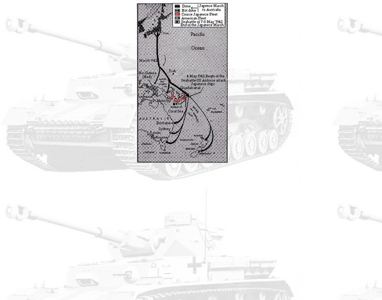
Students analyze the Japanese strategy for the Pacific and compare it to the Allied strategy. They identify on a map the sites that were important the early war in the Pacific, and identify key military engagements.
Core Knowledge Foundation
Unit 8: Code Talker by Joseph Bruchac Teacher Guide
Joseph Bruchac's Code Talker tells the remarkable story of Navajo Marines' role in battles of the Pacific Theater during World War II. As scholars read the novel, they also engage in activities that expand their knowledge of Navajo...
Curated OER
Where in the World War? Mapping WWII in the Pacific
Students study the geography of the Pacific theater of World War II. They study maps to examine the geography and features of the land.
Curated OER
Where in the World War? Mapping WWII in the Pacific
Students explore the Pacific Theatre of War. In this World War II lesson plan, students use reference material to access information about significant locations in the Pacific Theatre of War. Students identify the locations of the listed...
Curated OER
Turning the Tide in the Pacific, 1941-1943
Young scholars explore the overall strategies pursued by the Japanese and the Allies in the initial months of World War II. What each side hoped to accomplish what what actually happened forms the basis of a comparison made in this lesson.
Curated OER
Victory in the Pacific
Students explore the overall Allied strategy in the Pacific from 1943-1945 and assess its effectiveness. They explore the reasons why the atomic bomb was used and why use of that weapon was controversial.
Curated OER
The Civil War (1861-1865) Through Maps, Charts, Graphs, & Pictures
True to its titles, this engaging and appealing presentation brings the 1860's into close focus with a number of images and statistics that would delight any Civil War buff. A few graphs allow for pupil input, such as listing the...
Curated OER
Mapping the War
Students work in pairs to draw their own maps as specified of World War II areas. When all projects have been completed let one group at a time share their assignments with the rest of the class. Compile all the maps into a classroom...
Curated OER
Iwo Jima: Forgotten Valor
Students explore the nature of island combat on Iwo Jima during World War II. They examine the association between the Pacific Theater of World War II and Iwo Jima. Students evaluate Charles Lindberg's oral history, propaganda posters,...
Curated OER
WWII Website
Tenth graders research a topic related to World War II. They explore the causes and legacy of WWII, the European Theater of Operations, the Pacific Theater of Operations, Diversity in WWII, Women in WWII, and the Homefront. Students...
Curated OER
Japan: Images of a People
Learners learn the geography of Japan and its location in reference to the United States.
Curated OER
Views of the American West: True or False?
Learners explain that a landscape painting may or may not accurately represent a specific place. They identify techniques that create the illusion of three-dimensional space on a flat surface.
Curated OER
Lewis and Clark: The Language of Discovery
Middle schoolers replicate some of the trailblazing methods of Lewis and Clark on a fifteen-minute "writing journey" through the school or neighborhood.
Curated OER
The Rocky Shore
Young scholars compare a realistic landscape painting with a photograph of the same place.
PBS
Pbs: American Experience: Victory in the Pacific
This is the accompanying site to the PBS film "Victory in the Pacific." Information provided includes maps by which students can trace the war, eyewitness stories, and discussions by historians.
University of Texas at Austin
University of Texas: General Map of Campaign on North Luzon and Bataan
This map shows the Japanese advance against U.S. troops in the Philippines from Dec. 8, 1941 to April 9, 1942.
University of Oregon
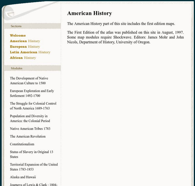
Mapping History: American History
Interactive and animated maps and timelines of historical events and time periods in American history from pre-European times until post-World War II.
The History Place
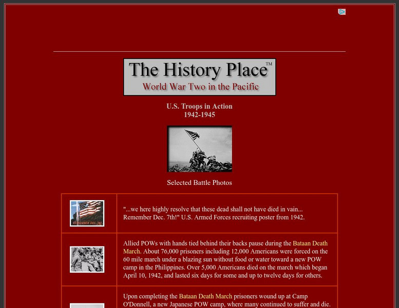
The History Place: Wwii in the Pacific: u.s. Troops in Action 1942 1945
A collection of photographs and a map covering American action in the Pacific during World War II. Captions accompany the images.
University of Texas at Austin
University of Texas: Philippine Islands, 1941
This is a full map of the Philippines in 1941 showing Japanese troop advances and American airfields.
University of Texas at Austin
University of Texas: Disposition of Bataan Defense Force
Follow the advance of Japanese forces against American guns on Bataan from Jan. 6-16, 1942. Map from University of Texas.
PBS
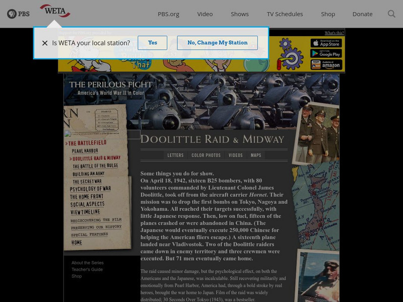
The Perilous Fight: Doolittle Raid and Midway
Read a brief account of the goal of the Doolittle Raid and its accomplishments along with a brief description of the Battle of Midway. Included is a letter written by General Doolittle, photographs of the planes, a short video, and maps...


