Missouri University of science & Technology
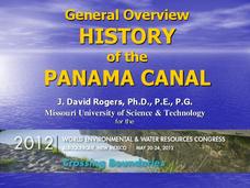
General Overview History of the Panama Canal
Called the Eight Wonder of the World by some and the Big Ditch by others, the Panama Canal is indeed an engineering marvel. The long, complicated, and sometimes controversial history of the canal is captured in a presentation loaded with...
Curated OER
Conejito
Third graders read the story "Conejito" and write a descriptive story about the rainforest in Panama. They answer story comprehension questions, complete worksheet questions about a map of Panama, and rewrite a paragraph changing the...
Curated OER
The Roosevelt Presidency
Learners explore the history of America from 1900-1912. Students explore how past events and philosophies have affected the management of modern-day conflicts. Through research, learners write an essay on the handling of the Panama Canal...
Curated OER
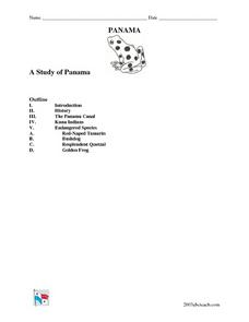
A Study of Panama
In this worksheet on Panama, students read an introduction about Panama, then read about its history, The Panama Canal, the Kuna Indians and the Endangered Species of Panama. After each selection, students answer a set of related questions.
Curated OER
Central America: Unlabeled Map
In this Central American political map worksheet, students examine the boundaries of the countries and capital cities located in this region of the world.
Curated OER
Central America Map
In this Central American political map worksheet, students make note of national boundaries and capitals in this region of the world.
Curated OER
An Uphill Swim
Students explore the concepts and engineering principles used in a canal lock system and apply those concepts to navigate a boat through a working model of a canal lock waterway.
Curated OER
New American Diplomacy
Students explore the presidential era of Teddy Roosevelt. They read about American diplomacy in Asia, the Caribbean, and discuss the Panama Canal and the Roosevelt Corollary. As a class, students take notes and create a bubble map for...
American Museum of Natural History
Being an Archeologist: Chuck Spencer
Meet Chuck Spencer, an archeologist who studies the Zapotec people who lived in the Valley of Oaxaca, Mexico over 2000 years ago. Spencer shares in print his response to questions posed by kids.
Curated OER
Welcome to the Americas
Students research and map the North and South American continents. In this geography lesson on the Americas, students can locate North, Central and South American countries and states. Students choose a location to research and prepare a...
PBS
Pbs: American Experience: Panama Canal
Regarded as one of the seven wonders of the modern world, the Panama Canal opened for business on August 15, 1914. America's ingenuity and innovation had triumphed over insurmountable odds. PBS brings us this incredible story via online...
A&E Television
History.com: Why the Construction of the Panama Canal Was So Difficult and Deadly
A staggering 25,000 workers lost their lives. And artificial limb makers clamored for contracts with the canal builders. In a quest to fulfill a centuries-old dream to connect the Atlantic and Pacific Oceans, the builders of the Panama...
Digital Public Library of America
Dpla: The Panama Canal
This primary source set includes photographs, documents, maps, and footage that can be used to explore the stories of environmental issues, political struggle, and human labor that built the Panama Canal.
Geographyiq
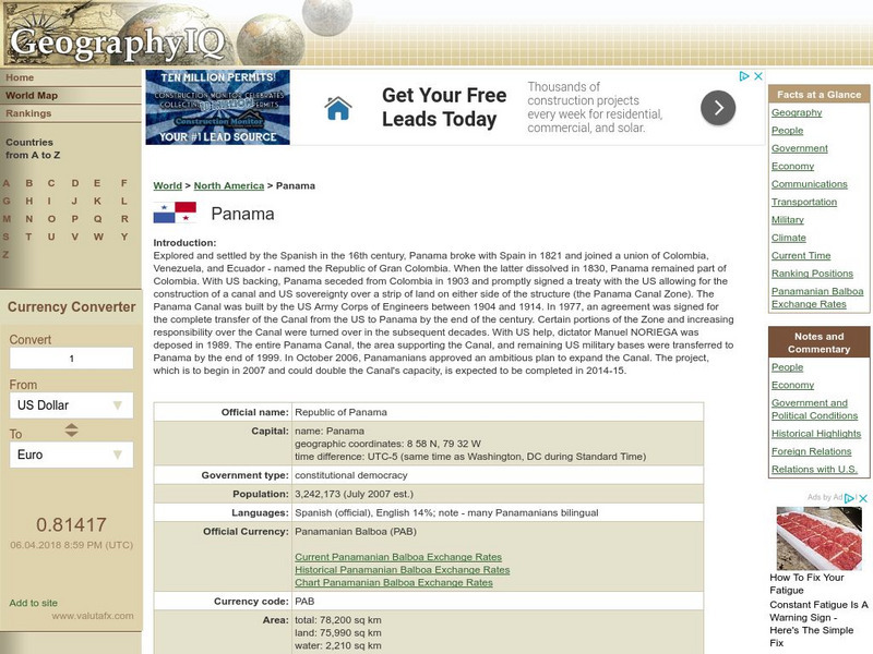
Geography Iq: Panama
Comprehensive site on Panama that gives you "Facts at a Glance" or more in-depth information about such topics as geography, people, economy, climate, or foreign relations.
Princeton University
Princeton University: Qed: Mapping Globalization: Maps
Several historical maps showing steamship routes around 1900, ancient world maps, and shipping routes and lines in 1912, including those that passed through the Panama Canal.
Curated OER
Etc: Maps Etc: Isthmus With Completed Panama Canal, 1914
A map from 1914 of the completed canal across the Isthmus of Panama. The map shows the Caribbean Sea entrance at Colon, the route of the canal through Gutan Lake and lock system, the Pacific entrance at the city of Panama, the Canal Zone...
Curated OER
Etc: Maps Etc: United States Canal Zone Showing the Completed Panama Canal, 1920
A map from 1920 of the United States Canal Zone showing the completed Panama Canal. The map shows the entrance ports of Colon on the Caribbean Sea and the city of Panama on the Pacific, the Panama Railroad, the original portion of the...
Curated OER
Educational Technology Clearinghouse: Maps Etc: Panama Canal, 1912
A map from 1912 of the Panama Canal showing the line of the canal, areas of navigable water, and areas of shallow water that have less depth than the canal. This map also shows the location of cities, dams, the Panama Railroad, and the...
Curated OER
Educational Technology Clearinghouse: Maps Etc: Panama Canal Zone, 1903
A map from 1903 of the Panama Canal Zone showing the Canal Zone boundaries, the channel route from Colon to the city of Panama, railroad route, lakes, reservoirs, locks, and towns along the canal. Map notes indicate the minimum depth of...
Curated OER
Educational Technology Clearinghouse: Maps Etc: Panama Canal Zone, 1916
A map from 1916 of the Panama Canal Zone showing the physical features of the area, including terrain and mountains, rivers, lakes, the continental divide, and coastal features. The map uses color-contouring to show elevations from sea...
Curated OER
Educational Technology Clearinghouse: Maps Etc: Panama Canal, 1911
A map from 1911 of the Panama Canal, showing the line of the canal with the miles from Colon given (49 miles from Colon to Panama City), the existing and proposed location of the Panama Railroad, dams, feeding rivers and mountains, towns...
Curated OER
Educational Technology Clearinghouse: Maps Etc: Panama Canal Zone, 1915
The Panama Canal Zone and route of the Panama Canal. The Panama Railroad line between Colon and Panama City is shown, as well as he Gantun locks, Pedro Miguel locks, and the Miraflores locks. Natural features include Limon Bay, Gatun...
Curated OER
Educational Technology Clearinghouse: Maps Etc: Panama Canal, 1920
A map from 1920 of the Panama Canal showing the Canal Zone boundaries, the channel route from Colon to the city of Panama, railroad route, lakes, reservoirs, locks, and towns along the canal. A chart at the top of the map shows the...
Curated OER
Educational Technology Clearinghouse: Maps Etc: Panama Canal Zone, 1920
A relief map from 1920 of the Panama Canal Zone showing terrain features, lakes, feeding rivers, the channel route, dams, locks, railroad, and entrance cities. The Canal Zone is shaded darker, and an inset map shows the entire isthmus...


