Science Education Resource Center at Carleton College
Serc: A Data Rich Exercise for Discovering Plate Boundary Processes
This article in the Journal of Geoscience Education describes a classroom exercise based on four world maps containing earthquake, volcano, topographical and seafloor age data. Students participate in this exercise by using a "jigsaw"...
Science Education Resource Center at Carleton College
Serc: Discovering Plate Boundaries
A data rich exercise built around four global data maps to help students discover the processes that occur at plate tectonic boundaries. The lesson plan is based on the jigsaw concept, mixing the students to work in different groups...
National Association of Geoscience Teachers
Nagt: Discovering Plate Boundaries
Students work collaboratively using data maps to discover plate tectonic boundary processes. Data sets used are earthquakes, volcanoes, seafloor age, and topography.
American Museum of Natural History
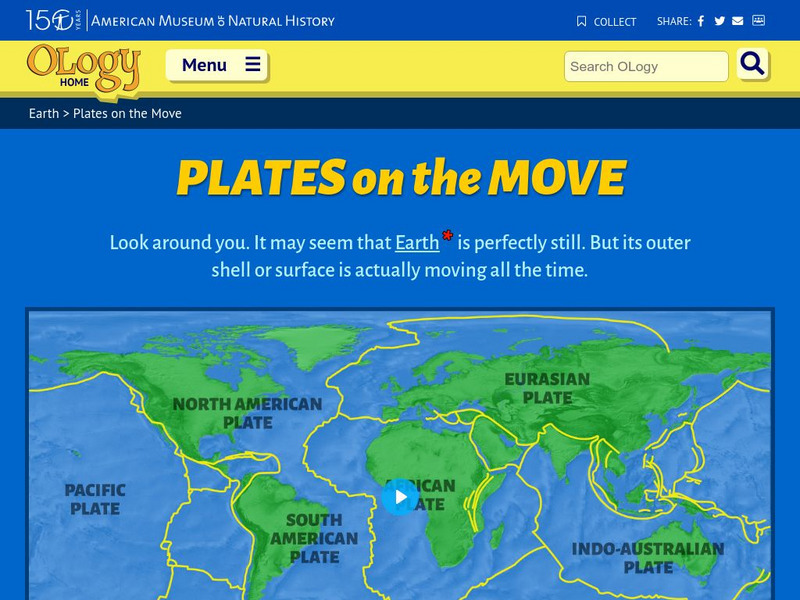
American Museum of Natural History: O Logy: Plates on the Move
Find an interrelated set of tools--maps, animations, diagrams, photographs, and text--to help you understand tectonic plates and how they move.
American Museum of Natural History
American Museum of Natural History: Plates on the Move
Explore how plates move with this interactive site. Students choose locations on the map of Earth to see if the tectonics plate are slipping, spreading, colliding, or subducting.
CK-12 Foundation
Ck 12: Plix: Volcano Map: Oceanic Oceanic Convergent Plate Boundaries
[Free Registration/Login Required] Get an inside look of a subduction zone with the animation on this page. Page includes a interactive animation and a short quiz.
E-learning for Kids
E Learning for Kids: Madagascar: What Are Tectonic Plates and How Are They Moving?
This lesson teaches students about tectonic plates, plate boundaries, and their role in earthquakes and volcanoes.
CK-12 Foundation
Ck 12: Plix: Map for Earth's Tectonic Plates: Earth's Tectonic Plates
[Free Registration/Login Required] Understand what is happening at the plate boundaries with this interactive map of Earth's tectonic plates. This page slso includes a short quiz over plate tectonics.
Other
University of Delaware: Plate Tectonics
This site is a very simple overview of plate tectonics. It includes a map of all the major plates and a diagram of the layers of the earth.
Science Education Resource Center at Carleton College
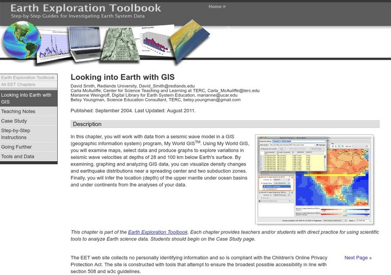
Serc: Looking Into Earth With Gis
Multi-instructional activity activity where learners will work with data from a seismic wave model in a GIS (geographic information system) program. They will examine maps, select data, and produce graphs to explore variations in seismic...
Curated OER
Educational Technology Clearinghouse: Maps Etc: Chile and Argentina, 1911
A map from 1911 showing the political boundaries of Argentina, Chile, Paraguay, and Uruguay at the time. Bordering portions of Brazil and Bolivia are also shown. State boundaries are shown in red, and the map includes capitals, major...
Curated OER
Educational Technology Clearinghouse: Maps Etc: Ireland Plate I, 1920
A map of the northern section of Ireland in 1920, showing cities, towns, ports, railways, canals, rivers, lakes, and coastal features north of Dublin and Galway. The map is color-coded to clearly show county boundaries.
Curated OER
Educational Technology Clearinghouse: Maps Etc: Ireland Plate Ii, 1920
A map of the southern section of Ireland in 1920, showing cities, towns, ports, railways, canals, rivers, lakes, and coastal features south of Dublin and Galway. The map is color-coded to clearly show county boundaries.
Curated OER
Extreme Science: A Lesson in Plate Tectonics
With its clickable map, this site provides text and graphics on spreading boundary, converging boundary, subduction zone, transverse boundaries and faults.


