Science Education Resource Center at Carleton College
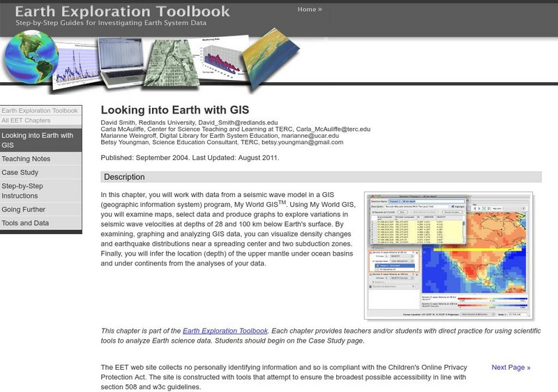
Serc: Looking Into Earth With Gis
Multi-instructional activity activity where learners will work with data from a seismic wave model in a GIS (geographic information system) program. They will examine maps, select data, and produce graphs to explore variations in seismic...
Curated OER
Educational Technology Clearinghouse: Maps Etc: Chile and Argentina, 1911
A map from 1911 showing the political boundaries of Argentina, Chile, Paraguay, and Uruguay at the time. Bordering portions of Brazil and Bolivia are also shown. State boundaries are shown in red, and the map includes capitals, major...
Curated OER
Educational Technology Clearinghouse: Maps Etc: Ireland Plate I, 1920
A map of the northern section of Ireland in 1920, showing cities, towns, ports, railways, canals, rivers, lakes, and coastal features north of Dublin and Galway. The map is color-coded to clearly show county boundaries.
Curated OER
Educational Technology Clearinghouse: Maps Etc: Ireland Plate Ii, 1920
A map of the southern section of Ireland in 1920, showing cities, towns, ports, railways, canals, rivers, lakes, and coastal features south of Dublin and Galway. The map is color-coded to clearly show county boundaries.
Curated OER
Extreme Science: A Lesson in Plate Tectonics
With its clickable map, this site provides text and graphics on spreading boundary, converging boundary, subduction zone, transverse boundaries and faults.
National Geographic
National Geographic: Encyclopedia: Mantle
An in-depth look at the structure and composition of Earth's mantle, with lots of visuals. Covers lithosphere, Mohorovicic discontinuity, asthenosphere, transition zone, lower mantle, the d double-prime region, mantle convection, mantle...


