US Geological Survey
U.s. Geological Survey: Volcanoes of the u.s.
This graphical and textual journey about the US volcanoes was made by Steven Brantley. There is an introduction, volcanoes and plate tectonics, Hawaiian volcanoes, cascade volcanoes, restless volcanoes, a glossary and further readings.
Smithsonian Institution
National Museum of Natural History: Paleobiology: Geologic Time: Hadean Eon
Journey into the past while reading this comprehensive overview of the Hadean Eon that covers topics such as the formation of the earth, its surface and atmosphere, fossil evidence, erosion and plate tectonics.
Georgia Department of Education
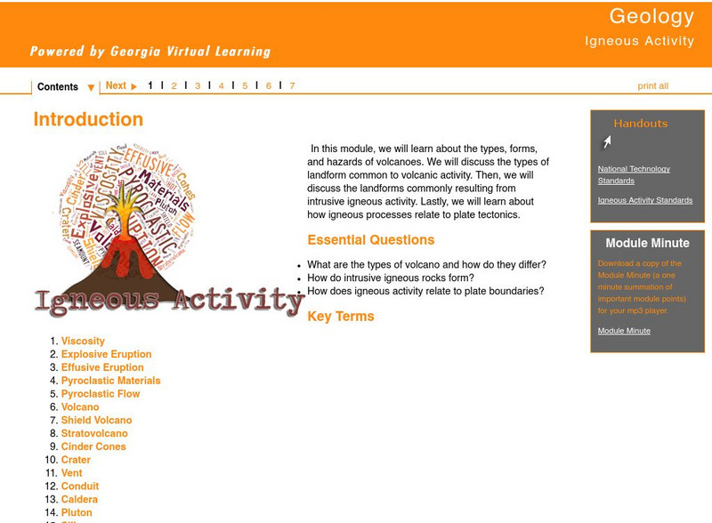
Ga Virtual Learning: Igneous Activity
In this interactive tutorial you will learn about the types, forms, and hazards of volcanoes. The types of landform common to volcanic activity is discussed. Then, the landforms commonly resulting from intrusive igneous activity are...
Other
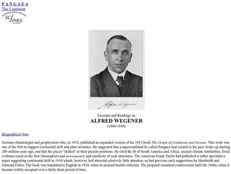
Pangea: Alfred L. Wegener Biography
Two biographies of Wegener and his work including his theory on how raindrops form.
Sophia Learning
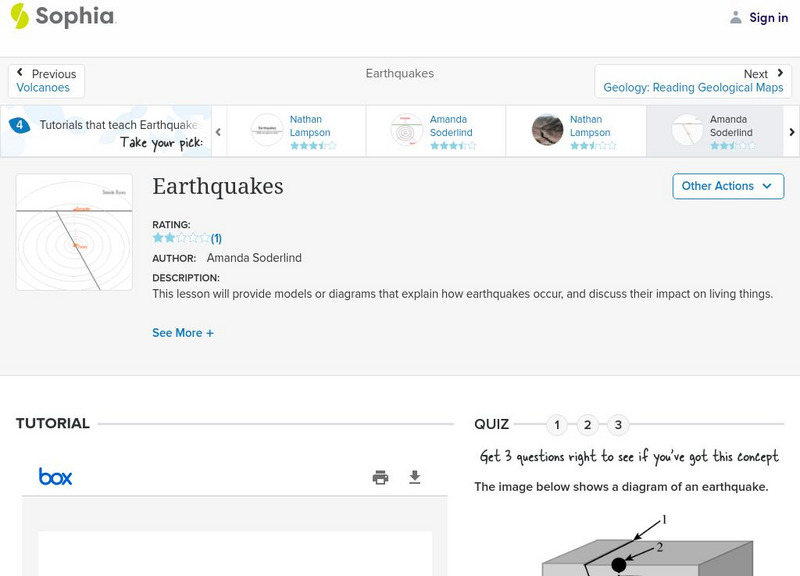
Sophia: Earthquakes
A quick, introductory lesson about how earthquakes happen, and what impact these natural events have on life.
Incorporated Research Institutions for Seismology
Iris: Earthquake Machine: Basic One Block & Simple Graph Animated
Animation of the single-block "Earthquake Machine" model shows how "Forces, Faults, and Friction" interact. [0:16]
Other
University of Wisconsin Green Bay: Faults and Earthquakes
This site is primarily set up as an outline and is loaded with graphs, maps, and images. It covers a variety of earthquake-related topics, such as what causes earthquakes, fault lines and structures, seismology, a historical look at...
Science Struck
Science Struck: Transform Boundary: Definition and Useful Examples
Explains what a transform boundary is and gives examples of well-known faults of this type.
US Geological Survey
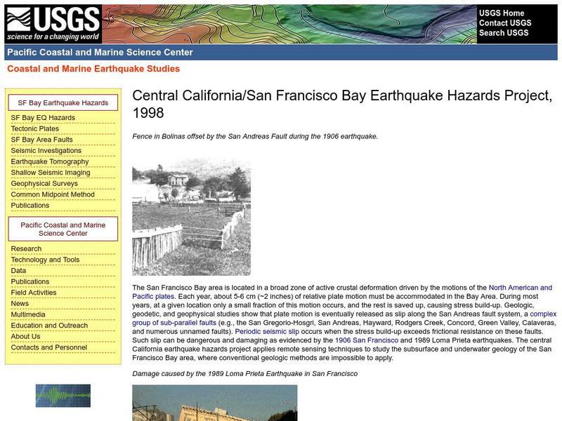
Central California Earthquake Hazards Project
Here is a review of the geology behind earthquakes and what is being done to predict the "Big One" on the San Andreas Fault.
Science Education Resource Center at Carleton College
Serc: Getting to the Point: Exploring Tectonic Motion Point Reyes Seashore
The intent of this module is for students to make straightforward numerical calculations as they learn about earthquake geology at a National Park.
University of California
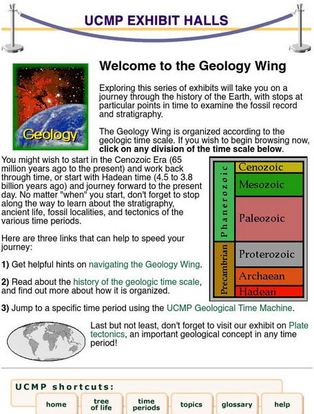
University of California Museum of Paleontology: Geology and Geologic Time
This site provides information about the geologic relationships of rock layers, as well as much about geologic time and the history of Earth.
National Institute of Educational Technologies and Teacher Training (Spain)
Ministerio De Educacion: Los Cambios en El Medio Natural I
In this unit you can learn about the internal structure of the Earth. It has 13 interactive activities.
Incorporated Research Institutions for Seismology
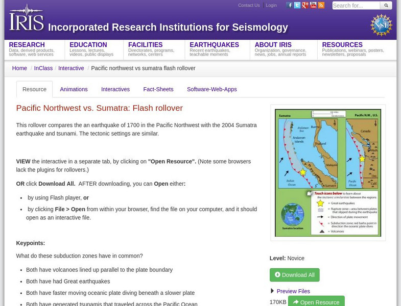
Iris: Pacific Northwest vs. Sumatra: Flash Rollover
This rollover compares the earthquake of 1700 in the Pacific Northwest with the 2004 Sumatra earthquake and tsunami.
Other
Scec: Wallace Creek Interpretive Trail
Go on a geologic adventure in this interactive, online trail guide to the Wallace Creek site on the San Andreas Fault.
TeachEngineering
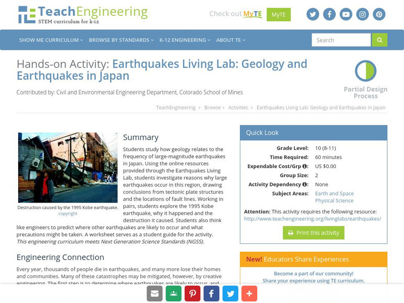
Teach Engineering: Earthquakes Living Lab: Geology and Earthquakes in Japan
Using the online resources provided through the Earthquakes Living Lab, students investigate reasons why large earthquakes occur in Japan, drawing conclusions from tectonic plate structures and the locations of fault lines.
Curated OER
Merriam Webster: Visual Dictionary Online: Tectonic Plates
Labeled map showing locations of world's tectonic plates.
Other
Digital Library for Earth System Education: Teaching Box: Earthquake Country
A suite of lessons focusing on all aspects of earthquakes. Inquiry-based exploration of earthquakes includes measuring seismic waves, predicting earthquakes, investigating magnitude and intensity, mapping fault lines, and evaluating...
Other
Earth History: The Paleomap Project
The Paleomap Project illustrates the plate tectonic development of the ocean basins and continents, as well as the changing distribution of land and sea during the past 1,100 million years.
TED Talks
Ted: Ted Ed: What Happens When Continents Collide?
Tens of millions of years ago, plate tectonics set North and South America on an unavoidable collision course that would change the face of the Earth and spell life or death for thousands of species. Juan D. Carrillo explains the massive...
University of California
University of California Museum of Paleontology: Distribution in Time and Space
The Understanding Evolution site provides evidence for evolution in biogeography utilizing relative dating, geography, and plate tectonics.
PBS
Nova: The Big Chill
Explore some of the explanations for the ice ages that have occurred in the Earth's history. The explanations are all related to conditions caused by plate tectonics.
University of Colorado
University of Colorado: Seismic Waves
Basic definitions and characteristics of the different wave types, diagrams, and speeds of the waves. Has links to information on seismology, earthquakes, and plate tectonics.
The Franklin Institute
Franklin Institute Online: Earthforce in the Crust
Learn more about earthquakes as well as plate tectonics. Site offers links to current quakings as well as earthquake science, teacher lessons, interactives, and earthquake history.
TED Talks
Ted: Ted Ed: How North America Got Its Shape
Peter J. Haproff explains how it took millions of years and some incredible plate tectonics to forge the continent we know today. [4:57]
Other popular searches
- Plate Tectonics Activities
- Plate Tectonics Pangaea
- Science Plate Tectonics
- Lessons on Plate Tectonics
- Theory of Plate Tectonics
- Plate Tectonics Lab Activity
- Modeling Plate Tectonics
- Evidence for Plate Tectonics
- Plate Tectonics Theory
- Plate Tectonics Word Search
- Plate Tectonics and Tsunamis
- Plate Tectonics Pangaea Map


