US Geological Survey
Usgs: Volcanic Hazards, Features, and Phenomena
Site from the U.S. Geological Survey provides a brief list of volcano terminology including descriptions as well as links to major menus.
California Institute of Technology
Cal Tech: The Great 1857 Fort Tejon Earthquake
Basic information about the 1857 "Fort Tejon" Earthquake, along with comparison to other quakes, location of the epicenter, and faults involved.
US Geological Survey
Usgs: November 29, 1975 Kalapana
Describes details of the earthquake of November 29, 1975 Kalapana in Hawaii, the tsunami, and the eruption of the volcano Kilauea as a result of the earthquake.
Incorporated Research Institutions for Seismology
Iris: Seismic Tomography [Pdf]
Learn how seismic tomography imaging helps scientists understand the formation of the Earth's interior.
Other
Federal Emergency Management Agency: Tremor Troop: Earthquakes [Pdf]
A 260-page unit of activities on earthquakes. Covers what they are, their cause, why and where they occur, their impact on the Earth, how they are measured, and safety and survival. Includes worksheets and has a glossary at the end.
PBS
Pbs: Earth Science Exploration
An earth science collection where students can explore earthquakes, volcanoes, and more natural phenomena. The collection uses videos and interactive activities to investigate our dynamic planet and earth systems.
Other
Digital Library for Earth System Education: Teaching Box: Earthquake Country
A suite of lessons focusing on all aspects of earthquakes. Inquiry-based exploration of earthquakes includes measuring seismic waves, predicting earthquakes, investigating magnitude and intensity, mapping fault lines, and evaluating...
Khan Academy
Khan Academy: Gallery: How Do Earth and Life Interact?
Explore the biosphere, zoom in on some unique ecosystems, and learn how activity in the Solar System and plate tectonics can affect the climate and life on the planet.
Science Education Resource Center at Carleton College
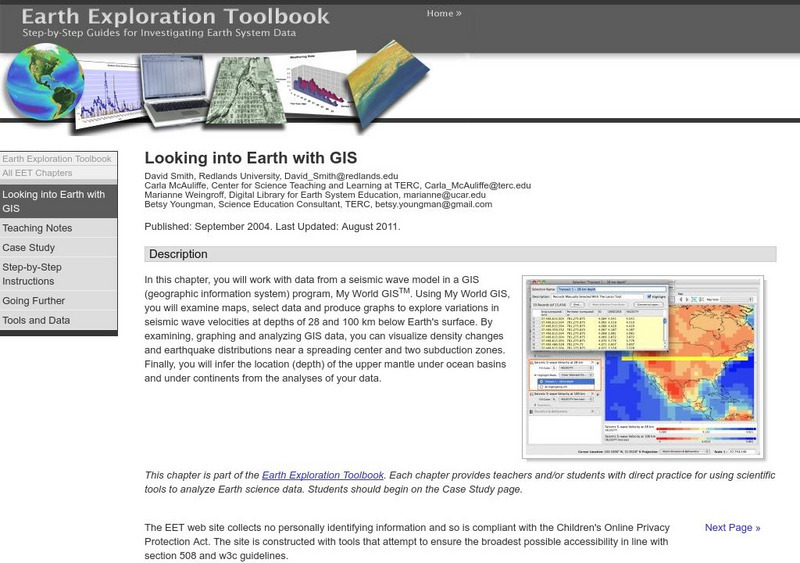
Serc: Looking Into Earth With Gis
Multi-instructional activity activity where learners will work with data from a seismic wave model in a GIS (geographic information system) program. They will examine maps, select data, and produce graphs to explore variations in seismic...
Science Struck
Science Struck: How Was the Mid Atlantic Ridge Formed?
Learn what the Mid-Atlantic Ridge is, how it was formed in the Triassic Period, the volcanic activity that takes place there, and the benefits and negative impact of this activity.
TeachEngineering
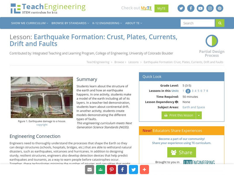
Teach Engineering: Earthquake Formation
Students learn about the structure of the earth and how an earthquake happens. In one activity, students make a model of the earth including all of its layers. In a teacher-led demonstration, students learn about continental drift. In...
Other
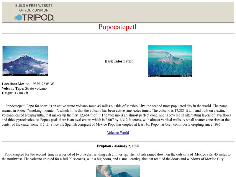
Popocatepetl
Basic information on the volcano Popocatepetl. Also includes brief information on the two eruptions in 1997 and 1998.
PBS
Pbs Teachers: Seismometer
Build an instrument for measuring movement to learn about how scientists measure the Earth's movement with a seismometer.
Science Education Resource Center at Carleton College
Serc: Interpreting the Geologic History of Canyon De Chelly
Earth Science teachers will combine field observations with the information given in the classroom to interpret the geologic history of Canyon de Chelly, Arizona.
American Geosciences Institute
American Geosciences Institute: Earth Science Week: Model of a Normal Fault
Students construct a model that demonstrates how a block of rock is extended by a normal fault.
TeachEngineering
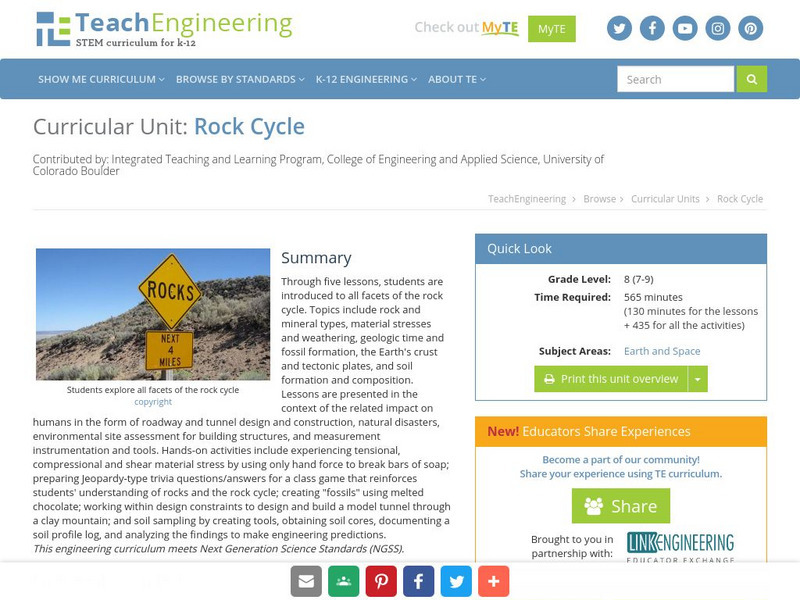
Teach Engineering: Rock Cycle
Through five lessons, students are introduced to all facets of the rock cycle. Topics include rock and mineral types, material stresses and weathering, geologic time and fossil formation, the Earth's crust and tectonic plates, and soil...
Other
K 3 Learning Pages: Tsunami Disaster
This site features several links to tsunami relief sites. Students and teachers can access information about the tsunami relief efforts through these resources.
Other
Disaster Pages: The Tsunami Page
FAQs about tsunamis address the reasons they occur and the destruction they cause. Also, learn about systems in place that provide Tsunami warnings as well as the data collected by scientists studying violent earthquakes and seismic sea...
Curated OER
Unesco: Australia: Macquarie Island
Macquarie Island (34 km long x 5 km wide) is an oceanic island in the Southern Ocean, lying 1,500 km south-east of Tasmania and approximately halfway between Australia and the Antarctic continent. The island is the exposed crest of the...


