Central Intelligence Agency
Cia: World Factbook: Jamaica
This resource from the CIA World Factbook provides a detailed fact sheet of Jamaica. The content covers the country's geography, people, government, economy, communications, transportation, military, and transnational issues. It includes...
Central Intelligence Agency
Cia: World Factbook: Japan
This resource from the CIA World Factbook provides a detailed fact sheet of Japan. The content covers the country's geography, people, government, economy, communications, transportation, military, and transnational issues. It includes...
Other
Ohio Wesleyan University: World Political Boundaries
This site has a photograph of a detailed, colorful map of political boundaries around the world with a zoom feature for a closer look. A brief description of how economic boundaries relate to political ones.
Latimer Clarke Corporation
Altapedia Online: World Map Resources
Features downloadable World Political and Physical Maps that include country names, country borders, ocean features, island names, and lat/long graticules. Clicking on any part of the map enlarges it.
Other
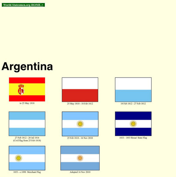
World Statesman: Argentina
This site is a complete encyclopedia of Argentinean leaders. Also provides detailed chronologies, flags, national anthems, maps and indexes.
The Newberry Library
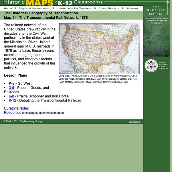
Newberry: Historical Geography: Map 11: The Transcontinental Rail Network, 1878
Lesson for K-12 using historical maps examine the geographic, political, and economic factors that influenced the growth of railroads.
Latimer Clarke Corporation
Atlapedia Online
This site provides both physical and political maps of countries of the world in full color. Also contains key facts and statistics.
Central Intelligence Agency
Cia: World Factbook: Russia
This resource from the CIA World Factbook provides a detailed fact sheet of Russia. The content covers the country's geography, people, government, economy, communications, transportation, military, and transnational issues. It includes...
Central Intelligence Agency
Cia: World Factbook: Austria
See a map of Austria and read about the country's geography, government. people, economy and more.
University of California
Ucla: Manas: History and Politics of the Mughal Empire
This article surveys the Mughal Empire of India (1526-1857) and traces its origins, names its rulers, and provides historical illustrations and a map.
Central Intelligence Agency
Cia: World Factbook: Angola
This resource from the CIA World Factbook provides a description of Angola's location, people, political information, and economy, including summary statistics. It includes a map and flag.
Central Intelligence Agency
Cia: World Factbook: Czechia
This resource from the CIA World Factbook provides a detailed fact sheet of the Czechia. The content covers the country's geography, people, government, economy, communications, transportation, military, and transnational issues. It...
Other
World Statesman: Ecuador
This site is a complete encyclopedia of Ecuadorean leaders. Also provides detailed chronologies, flags, national anthems, maps and indexes.
Other
World Statesman: Peru
This site is a complete encyclopedia of Peruvian leaders, beginning with the arrival of the Spanish conquistadors. Also provides detailed chronologies, flags, national anthems, maps and indexes.
Other
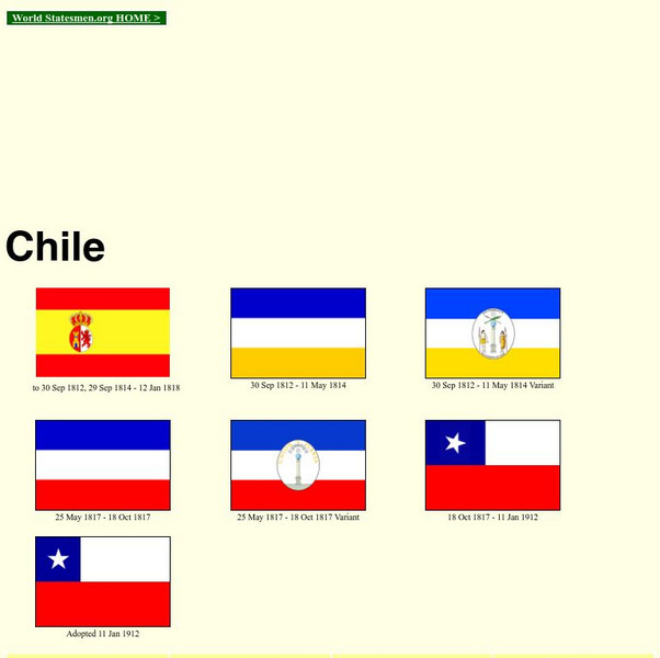
World Statesman: Chile
This site is a complete encyclopedia of Chilean leaders. Also provides detailed chronologies, flags, national anthems, maps and indexes. There is also a section devoted to Easter Island.
World History Encyclopedia
World History Encyclopedia: Alcibiades
Encyclopedia entry on the gifted Athenian statesmen, Alcibiades. Includes map, photos, timeline and links to related material.
Geographyiq
Geography Iq
Detailed geographical information on any country is available at this site. Within the World Map section, you can get facts and figures about each country's geography, demographics, government, political system, flags, historical and...
Curated OER
Kazakhstan Political Map
Check out this great satellite image of Kazakhstan from Google Earth. Scroll past the informative political map to see the image. There is more information about the country below the satellite map.
Curated OER
Kyrgyzstan Political Map
Check out this great satellite image of Kyrgyzstan from Google Earth. Scroll past the informative political map to see the image. There is more information about the country below the satellite map.
Curated OER
China Political Map
Check out this great satellite image of China from Google Earth. Scroll past the informative political map to see the image. There is more information about the country below the satellite map.
Curated OER
Kuwait Political Map
Check out this great satellite image of Kuwait from Google Earth. Scroll past the informative political map to see the image. There is more information about the country below the satellite map.
Curated OER
Albania Political Map
Check out this great satellite image of Albania from Google Earth. Scroll past the informative political map to see the image. There is more information about the country below the satellite map.
Curated OER
Angola Political Map
Check out this great satellite image of Angola from Google Earth. Scroll past the informative political map to see the image. There is more information about the country below the satellite map.
Curated OER
Botswana Political Map
Check out this great satellite image of Botswana from Google Earth. Scroll past the informative political map to see the image. There is more information about the country below the satellite map.
Other popular searches
- World Political Map
- World Outline Political Map
- Blank World Political Map
- World Political Map Labeled


