University of California
Mid Ocean Ridge
An article from Scientific American details some recent discoveries about the ridge systems. "New maps reveal striking details of how segments of the Ridge form and evolve."
US Geological Survey
Usgs: u.s. Atlantic Continental Margin Gloria Mapping Program
This site from the U.S. Geological Survey allows you to access detailed images of the continental margin around the United States. There is additional information about the sonar methods used, and a wealth of additional sources listed.
US Geological Survey
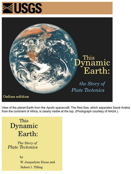
Usgs: Plate Tectonics and Mid Oceanic Ridges
Excellent graphics and understandable text about all aspects of plate tectonics including mid-ocean ridges.
University of California
University of California, Santa Barbara/abyssal Hills
This article, published in Nature magazine, gives a detailed account of the abyssal plain feature called abyssal hills.
US Geological Survey
Usgs: Monterey Submarine Canyon, California Moored Array Data Report [Pdf]
This advanced site discusses some of the research done and research techniques used in studies of the Monterey Canyon. Great graphics showing the position of the canyon relative to other features of the continental margin. Also...
Institute of Marine Science
Forsea: If I Can't See It, How Do I Know It's There?
A diagram showing features of the seafloor and a laboratory experiment involving a model of the seafloor highlight this site. This is a good resource for teachers as well.
Encyclopedia of Earth
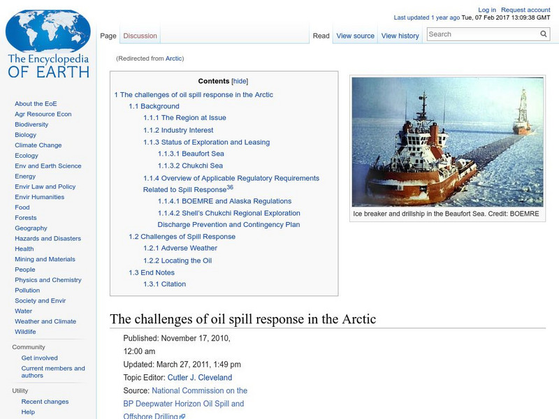
Encyclopedia of Earth: Arctic Ocean
Lengthy illustrated article about the Arctic Ocean discusses all the many features and characteristics of this vast northern ocean--sea ice, icebergs, ice shelves, ice islands, the Arctic Ocean floor, continental shelf--as well as the...
Woods Hole Oceanographic Institution
Woods Hole Oceanographic Institution: Tsunami: An Interactive Guide
A complete, interactive learning activity covering the science of tsunamis, preparedness, research, and historical tsunamis. Excellent animations and real, historical recordings of survivors allow the learner to experience what happens...
Vision Learning
Visionlearning: Earth Science: Plate Tectonics I: Geologic Revolution
Instructional module focusing on the development of plate tectonic theory. Discussion includes the evidence of Pangaea, and the processes of seafloor topography and seafloor spreading. Site also includes an interactive practice quiz and...
US Navy
Naval Historical Center: Exorcizing the Devil's Triangle
Howard L. Rosenberg writes this article about the area known as "The Devil's Triangle" or "The Bermuda Triangle." Besides discussing famous lost ships and airplanes, Rosenberg gives detailed information about the geography of the sea...
PBS
Pbs News Hour: Gardens of Eden
An interview with William Broad, author of "The Universe Below". ONLINE News Hour discusses with William Broad the discoveries that have been made on the ocean floor.
Science Education Resource Center at Carleton College
Serc: Aboard Alvin
This Gulf of Maine educational website takes students aboard the submersible Alvin. It includes informational pages such as a project overview, as well as pages about Alvin, hydrothermal vents, and the researchers involved in the...
Extreme Science
Extreme Science: Challenger Deep
A short description of the world's deepest ocean trench. Includes diagram and map.
Other
Ocean Trenches
A rather detailed explanation of how trenches form and why. No graphics, but some interesting explanations as well as links to other sites and extensive reference list.
University of Washington
University of Washington: Coastal Processes and the Continental Margin
Events affecting the continental margin off Washington State are presented. This article comes from the "Thompson Times," an onboard newspaper from the UW's primary research vessel, the Thomas Thompson.
US Geological Survey
Usgs: Bathymetry of the Marshall Islands
This map details the area around the Marshall Island seamounts. Seamounts are one of many features that are found in conjunction with abyssal plains.
Other
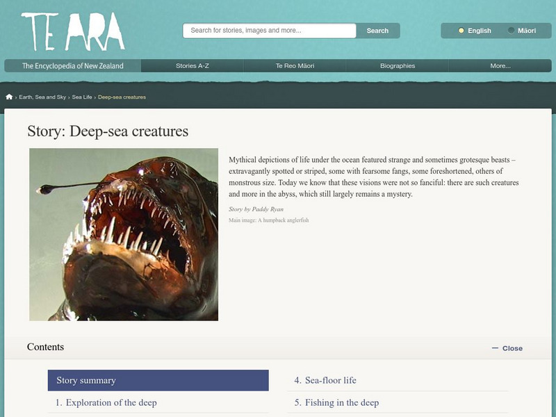
Encyclopedia of New Zealand: Deep Sea Creatures
Learn about the life forms that dwell deep in the ocean which is divided into four zones. These zones have similar life forms around the world.
Science Education Resource Center at Carleton College
Serc: Field Activity: Exploring Glaciers, Ancient Seas, and Volcanism
In this geoscience all day field activity at Interstate State Park at Taylors Falls, MN, students investigate and explore three events in Minnesota geological history.
Science Education Resource Center at Carleton College
Serc: Exploring Seafloor Topography
Users learn to generate and interpret graphs that show seafloor depth versus distance by using the GeoMapApp.
Science Education Resource Center at Carleton College
Serc: Inquiry Into High Resolution Ice Core and Marine Sediment Records
Activity in which questions are provided relating to interpreting paleoclimate data such as characteristics that make sites favorable for paleoclimate records, locating sites using a map, finding patterns and correlations in the data,...
TED Talks
Ted: Ted Ed: On Exploring the Oceans
Ocean explorer Robert Ballard takes us on a mindbending trip to hidden worlds underwater, where he and other researchers are finding unexpected life, resources, and even new mountains. He makes a case for serious exploration and mapping....
TED Talks
Ted: Ted Ed: How Much of Human History Is on the Bottom of the Ocean?
Sunken relics, ghostly shipwrecks, and lost cities aren't just wonders found in fictional adventures. Beneath the ocean's surface, there are ruins where people once roamed and shipwrecks loaded with artifacts from another time. Peter...
University of Wisconsin
The Why Files: Terrible Tsunami
Explore the cause of tsunamis and their devastating effects.
Other popular searches
- Sea Floor Topography
- Sea Floor Diagram
- Sea Floor Mapping
- Sea Floor Sediment
- Sea Floor Features
- Sea Floor Bathymetry
- Sea Floor Drilling
- Sea Floor Bathmat
- Sea Floor Spread
- Convection Current Sea Floor
- Mapping the Sea Floor
- Sea Floor Mappng


