Other
Sada: Symptoms of Sad
This site describes the symptoms of SAD, when they usually begin and end, and the typical onset of SAD.
Other
Sada: Sad Association
This is the largest surviving support organization to help support and advise sufferers of SAD.
Unite for Literacy
Unite for Literacy: Earth and Sky: Too Much Mud!
With the coming of springtime, the mud makes things very messy, something children love. Book includes audio narration in 11 additional languages with text in English.
Annenberg Foundation
Annenberg Learner: Journey North: Tulip Gardens
Track tulip growth as the season changes from winter to spring. See how temperature, rainfall, and sunshine affect growth and help scientists look for patterns of climate change.
PBS
Pbs Learning Media: The Night Manager Lesson Plan: Molly of Denali
This lesson, based on the 11-minute animated story "The Night Manager" from the PBS KIDS series MOLLY OF DENALI, helps children create or improve text by adding details or updating content. When a group of winter visitors arrive, Molly...
Extreme Science
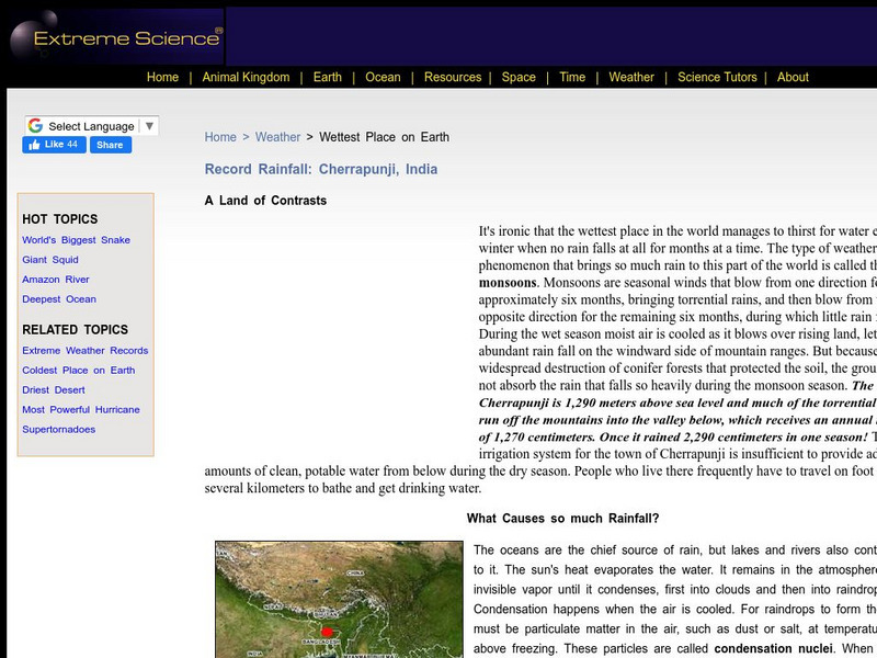
Extreme Science: Wettest Place on Earth: Cherrapunji, India
A description of the climate in the city of Cherrapunji, India, which is documented as having the most rainfall in the world, much of it caused by seasonal monsoons. Despite that, during the winter, it has entire months with no rain.
Smithsonian Institution
National Museum of Natural History: American Mammals: Arctic Ground Squirrel
Arctic Ground Squirrels must cope with a harsh environment that offers long, cold winters, strong winds, a short growing season, permafrost, poor drainage, and limited cover. The squirrels are, by necessity, dormant for seven months each...
University of Kentucky
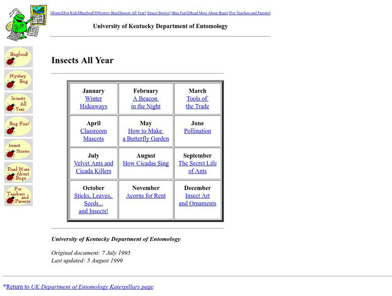
University of Kentucky: Insects All Year
The University of Kentucky provides information and activities about insects for each month of the year. Projects include art and observational activities.
Curated OER
Educational Technology Clearinghouse: Maps Etc: Summer Monsoon in India, 1910
A map from 1910 of the Indian subcontinent and the Central Asia region showing the typical rainfall distribution patterns during the summer monsoons, keyed to show areas of rainfall ranging from very light to, according to this text, the...
Curated OER
Educational Technology Clearinghouse: Maps Etc: South American Heat Belts, 1901
A map from 1901 of the Heat Belts in South America showing the Heat Equator in July, regions where it is always hot, regions of temperate winters and hot summers, and regions where it is always temperate. "There is comparatively little...
Curated OER
Etc: Maps Etc: Heat Belts in South America, 1898
A map from 1898 of the Heat Belts in South America showing the Heat Equator in July, regions where it is always hot, regions of temperate winters and hot summers, and regions where it is always temperate. "There is comparatively little...
Curated OER
Educational Technology Clearinghouse: Maps Etc: Annual Rainfall in Africa, 1920
A map from 1920 of Africa and Madagascar showing the mean annual rainfall distribution given in inches, seasonal variations in precipitation, and seasonal costal wind direction. The map is color-coded to show annual precipitation ranging...
Curated OER
Etc: Maps Etc: Mexico, Central America, and the West Indies, 1898
A map from 1898 of Mexico, Central America and the West Indies. The map includes an inset map of Cuba and the Isthmus of Nicaragua. "The surface of the Rocky Mountain highland in Mexico is quite similar to that of the great plateau...


