Independence Hall Association
U.s. History: Britain in the New World
Read about the early English explorers and find out why other countries did much more early exploration than the British. The defeat of the Spanish Armada turned the tide. Discover why the English now could explore and plant colonies.
Curated OER
Etc: Maps Etc: Hondius's Map of Drake's Route, 1628
A facsimile of a sketch map by Jodocus Hondius (1628) showing the explorations of Sir Francis Drake along the California coast. The map is keyed to show the locations of: (1) Nova, Albion; (2) Hic prae ingenti frigore in Austrum reverti...
Library of Congress
Loc: Exploring the Early Americas: Competition for Empire
Part of a larger site, the primary sources here deal with the competition among the European countries in establishing a foothold in the New World.
British Library
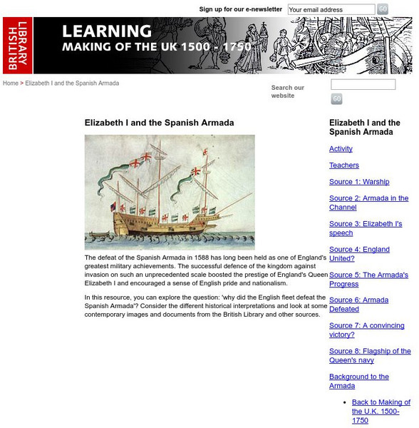
British Library: Elizabeth I and the Spanish Armada
Through short frames with pictures and narrative, the story of the Armada unfolds. A good background to the battle is also provided. Click on the sources on the index to pull up each frame.
Travel Document Systems
Tds: Cape Verde: History
Learn about the ups and downs in Cape Verde's history, first as a Portuguese colony, then as a people seeking independence from Portugal. Information is from the U.S. State Dept. Background Notes.
Curated OER
Etc: Maps Etc: Jefferys' Sketch of New Albion, 1753
A facsimile of a sketch map from Jeffery (1753) showing the explorations of Sir Francis Drake along the California coast. The map is keyed to show the locations of: (1) C. das Navadas, or Snowy Cape; (2) Punta de los Reys; (3) Les...
Curated OER
Educational Technology Clearinghouse: Maps Etc: Nova Albion, 1646
A facsimile of a map by Robert Dudley published in Arcano del Mare (1646) showing the explorations of Sir Francis Drake along the California coast.
Curated OER
Educational Technology Clearinghouse: Maps Etc: Dudley's Carta Prima, 1646
A facsimile of a sketch map by Robert Dudley published in 1646 showing the explorations of Sir Francis Drake along the California coast. The map shows the area from latitude 40 degrees to 36 degrees, and is keyed to show anchorages and...
Curated OER
Educational Technology Clearinghouse: Maps Etc: Virginia, 1577
A facsimile of an early map (1651) showing the discoveries of Sir Francis Drake in North America, including the coastline of Ould Virginia and Maryland, the Bay of Checepiake (Chesapeake Bay), Lord Delaware Bay, Cape Hatteras and Cape...
Curated OER
An Aleut in His Baidarka, Ca. 1744
Two excerpts from the explorations of the Pacific coast by Sir Francis Drake and Vitus Bering as well as maps drawn to reflect those journeys.
Library of Congress
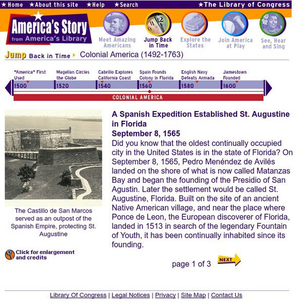
Loc: America's Story: A Spanish Expedition Established St. Augustine in Florida
Website that gives information about the founding of the oldest permanent settlement in America, St. Augustine.


