Georgia Department of Education
Ga Virtual Learning: Astronomy: The Earth
In this interactive tutorial students will learn what causes the seasons, diurnal cycles and how the constellations move through the sky. Learn we are able to see other planets and how astronomical events affected life on the Earth.
Other
Mental Floss: 8 Antarctic Traditions
Every spring in the Antarctica, a new group of workers arrives and stays for a few months. To enliven everyone's stay, some traditions have been put in place. These include a race around the South Pole through all the world's time zones,...
PBS
Pbs Teachers: War Feels Like War: Journalism in War Time (Teacher Resources)
Assess a lesson plan that revolves around the role of journalists in a democracy, especially considering the challenges and ethics of reporting from a war zone. Should broaden student understanding of Thomas Jefferson's ideal of an...
Healthline Media
Medical News Today: What Are the Eight Most Popular Diets Today?
Receive the information you need regarding the 8 most popular diets of the times: Atkins, Zone, Vegetarian, Vegan, Weight Watchers, South Beach, Raw Food, and Mediterranean.
Harvard University
Harvard Smithsonian: Everyday Classroom Tools
The focus of this series of lessons is to engage students in an exploration of the world around them. The emphasis is on inquiry as students learn about the earth, sun, light, shapes and more.
Other
Kingwood Library: American Cultural History: 1880 1889
The 1880's in America were chock full of new architecture, technologies, businesses, modern conveniences such as gas and electric, operas, fashions, and much more as featured in this resource.
Geographyiq
Geography Iq
Detailed geographical information on any country is available at this site. Within the World Map section, you can get facts and figures about each country's geography, demographics, government, political system, flags, historical and...
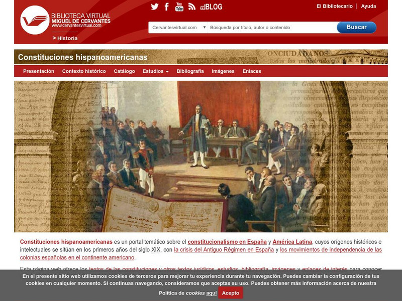
Biblioteca Virtual Miguel de Cervantes
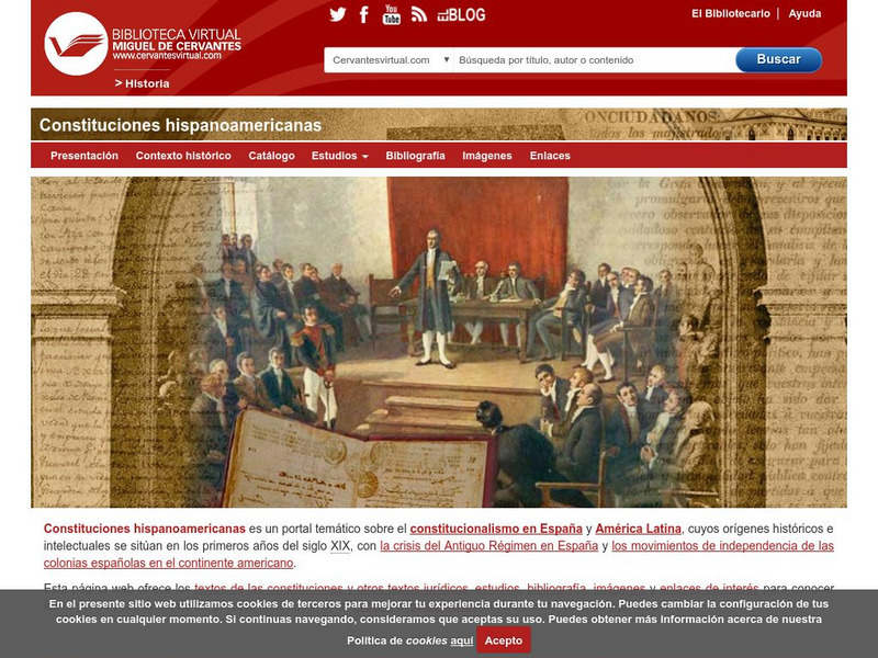
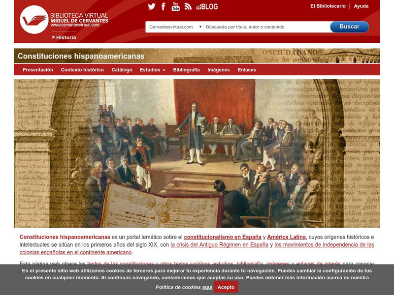
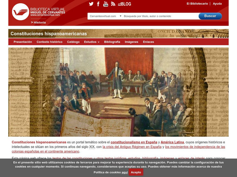
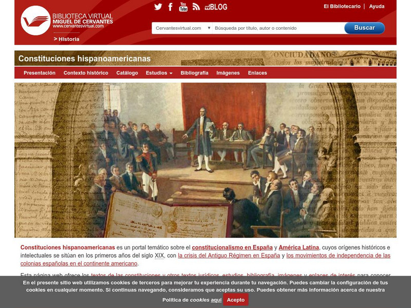
Biblioteca Virtual Miguel De Cervantes: Peru
This resource site in Spanish from the Biblioteca Virtual Miguel de Cervantes for the country of Peru. The flag and a general map of the country are included. Of particular interest is the statistical data available on land size,...
Biblioteca Virtual Miguel de Cervantes
Biblioteca Virtual Miguel De Cervantes: Uruguay
This resource site from the Biblioteca Virtual Miguel de Cervantes in Spanish for the country of Uruguay. The flag and a general map of the country are included. Of particular interest is the statistical data available on land size,...
Biblioteca Virtual Miguel de Cervantes
Biblioteca Virtual Miguel De Cervantes: Ecuador
This resource site from Biblioteca Virtual Miguel de Cervantes in Spanish for the country of Ecuador. The flag and a general map of the country are included. Of particular interest is the statistical data available on land size, climate,...
Biblioteca Virtual Miguel de Cervantes
Biblioteca Virtual Miguel De Cervantes: Puerto Rico
Bibliotica Virtual Miguel de Cervantes is an excellent resource site in Spanish for Puerto Rico. The flag and a general map of Puerto Rico are included. Of particular interest is the statistical data available on land size, climate,...
Biblioteca Virtual Miguel de Cervantes
Biblioteca Virtual Miguel De Cervantes: Panama
Excellent resource site from the Bibliotica Virtual Miguel de Cervantes in Spanish for the country of Panama. The flag and a general map of the country are included. Of particular interest is the statistical data available on land size,...
Biblioteca Virtual Miguel de Cervantes
Biblioteca Virtual Miguel De Cervantes: Nicaragua
This resource site from Biblioteca Virtual Miguel de Cervantes in Spanish is for the country of Nicaragua. The flag and a general map of the country are included. Of particular interest is the statistical data available on land size,...
Biblioteca Virtual Miguel de Cervantes
Biblioteca Virtual Miguel De Cervantes: Venezuela
This resource site from Biblioteca Virtual Miguel de Cervantes in Spanish for the country of Venezuela. The flag and a general map of the country are included. Of particular interest is the statistical data available on land size,...
Biblioteca Virtual Miguel de Cervantes
Biblioteca Virtual Miguel De Cervantes: Guatemala
This resource site from Biblioteca Virtual Miguel de Cervantes in Spanish is for the country of Guatemala. The flag and a general map of the country are included. Of particular interest is the statistical data available on land size,...
Biblioteca Virtual Miguel de Cervantes
Biblioteca Virtual Miguel De Cervantes: Argentina
This resource site from Bibliotica Virtual Miguel de Cervantes in Spanish for the country of Argentina. The flag and a general map of the country are included. Of particular interest is the statistical data available on land size,...
Biblioteca Virtual Miguel de Cervantes
Biblioteca Virtual Miguel De Cervantes: Honduras
This resource site from Biblioteca Virtual Miguel de Cervantes in Spanish for the country of Honduras. The flag and a general map of the country are included. Of particular interest is the statistical data available on land size,...
Biblioteca Virtual Miguel de Cervantes
Biblioteca Virtual Miguel De Cervantes: Chile
This resource site from Bibliotica Virtual Miguel de Cervantes in Spanish for the country of Chile. The flag and a general map of the country are included. Of particular interest is the statistical data available on land size, climate,...
Biblioteca Virtual Miguel de Cervantes
Biblioteca Miguel De Cervantes: Republica Dominicana
This Bibliotica Virtual Miguel de Cervantes site in Spanish for the Dominican Republic provides a wealth of information, including the national flag, a map, holidays, and statistical data on land size, climate, population, life...
NOAA
Noaa: Solar Calculators
This resource allows users to find sunset/sunrise calculations based on latitude and longitude for various locations. Provides a glossary of related terms and an explanation of their calculations.
Other
El Diario Informacion General De Bolivia
This site is a reference to vital statistics and other data about the country of Bolivia. General information on the history, government, environment, and tourism of Bolivia are also provided. Illiteracy rate, average number of years of...
Starfall
Starfall: Make a Calendar
Create a calendar. Use calendar skills to identify dates of the week. Interactive game with printable options.
Khan Academy
Khan Academy: What Is Urban Growth?
How were cities formed? This article explains the formation of cities starting from the neolithic revolution to current times. It addresses such topics as urbanization, suburban sprawl, and urban growth models.
US Navy
Usno: Virtual Reality Moon Phase Pictures
In addition to providing the current phase of the Moon [within 4 hours] you can find the phase of the moon for any date and time from 1800 to 2199 A.D. Universal, Eastern, Central, Mountain, and Pacific Time Zones will apply to most users.
Other popular searches
- Calculating Time Zones
- World Time Zones
- International Time Zones
- Lessons on Time Zones
- United States Time Zones
- Powerpoint and Time Zones
- Geography Time Zones
- Canadian Time Zones
- U.s. Time Zones
- Time Zones Lessons
- Time Zones and Asia
- Time Zones Manipulatives


