National Geographic
National Geographic: Mapping the World's Watersheds
In this lesson, students use a world map to locate and label major rivers and their watersheds. They then compare watershed shapes and look at typographical features that determine their shapes. A vocabulary list with definitions is...
TeachEngineering
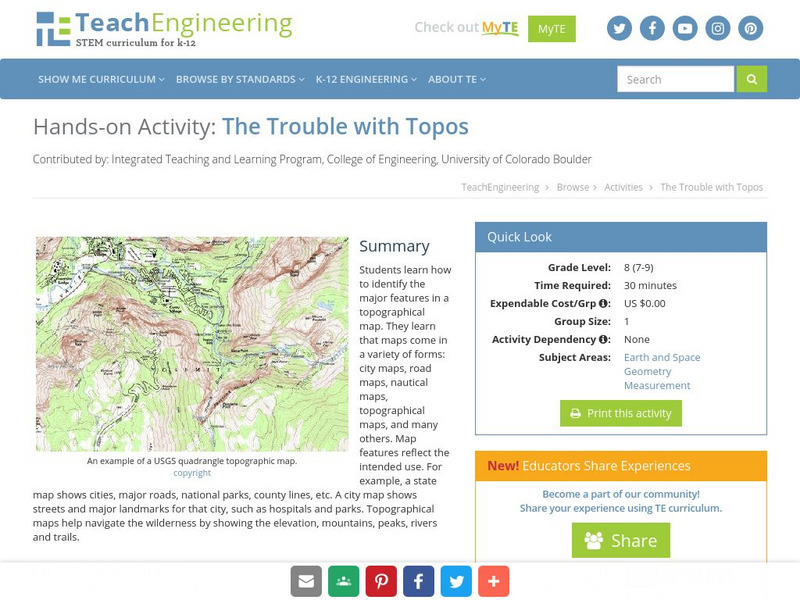
Teach Engineering: The Trouble With Topos
Students learn how to identify the major features in a topographical map. They learn that maps come in a variety of forms: city maps, road maps, nautical maps, topographical maps, and many others. Map features reflect the intended use....
Other
Centre for Topographic Information: Map Scale
This resource uses illustrations to demonstrate scale. Check out the links to the The National Topographic System of Canada and the Aerial Survey Data Base.
TeachEngineering
Teach Engineering: Topo Map Mania!
Maps are designed to allow people to travel to a new location without a guide to show the way. They tell us information about areas to which we may or may not have ever been. There are many types of maps available for both recreational...
Science Education Resource Center at Carleton College
Serc: An Investigation Into Geologic Mapping: Quarry Park
In this geology field lab, learners will map an area around Quarry 12 and Quarry 13 in Quarry Park. Using a field notebook, students will take field observations to later produce a basic geologic map, topographic map, and a...
Other
Unh Dimond Library: Historic Usgs Maps of New Hampshire
A site with a very plain map, that contains links to detailed maps of more specific areas in New Hampshire.
National Association of Geoscience Teachers
Nagt: Urban Planning 101: Map Appreciation
In this lesson plan students will begin by looking at a series of maps and they will brainstorm ways the natural world may interact with humans and vice-versa. Students will then come up with a list of features of a city or town, make...
Science Education Resource Center at Carleton College
Serc: Mn Step: Student Created Landform Maps With Glacial Emphasis
An activity where students work together to make topographic maps of a local park. The map must include a key and the grid locations of landforms in the park.
Library of Congress
Loc: Cultural Landscapes
This collection includes unique maps, such as topographic maps and those used in land surveys. Includes maps created by George Washington.
Science Education Resource Center at Carleton College
Serc: Sandbox Modeling
Students create landforms using layers of colored sand, then construct a topographic map and a cross-section. This is an investigation that was presented to pre-service science teachers. The format would be similar with students, with...
Alabama Learning Exchange
Alex: Topography of Fruit
This is an attempt to help students understand contour lines in map-making through the vector of digital photography. This hands-on activity will create an art piece out of fruit that will be analyzed to create topographic maps.
Climate Literacy
Clean: Impacts of Topography on Sea Level Change
Students use web-based animations to explore the impacts of ice melt, specifically changes to sea level. They also use topographic maps to examine the relationship between topography and sea level change by mapping changing shorelines.
Alabama Learning Exchange
Alex: Let Them Eat Cake! Topography Lesson
Contour lines on topographic maps require visual processing to read and interpret. This hands-on activity helps give a tasty mental image.
Science Education Resource Center at Carleton College
Serc: Visualizing Topography
This module helps students learn to identify terrain features on topographic maps. Students manipulate animations of hills, valleys, and cliffs to see the terrain from various angles. The module also provides instruction on how to read...
Science Education Resource Center at Carleton College
Serc: Fairly Simple Geology Exercises
A collection of geology exercises which include relevant background information, complete instructions, student handouts, and answer keys. Topics include rock and mineral identification, Bowen's reaction series, crystal models,...
Climate Literacy
Clean: Sea Level Rise
Students will learn the difference between sea ice and glaciers in relation to sea level rise using topographic maps.
US Geological Survey
Lake Pontchartrain Basin Foundation: Watershed
Explore the characteristics of a watershed through these multiple intelligences learning activities. Activities will help young scholars define a watershed as well as read the features on a topographic map. Site also includes background...
National Earth Science Teachers Association
Windows to the Universe: Changing Planet: Sea Levels Rising
Students review topographic maps and use that knowledge to explore the impact sea level rise will have on coastal communities.
CK-12 Foundation
Ck 12: Earth Science: Maps
[Free Registration/Login may be required to access all resource tools.] How to use topographic, bathymetric, and geologic maps.
CK-12 Foundation
Ck 12: Earth Science: Maps
[Free Registration/Login may be required to access all resource tools.] How to use topographic, bathymetric, and geologic maps.
University of Texas at Austin
Perry Castaneda Library: Chile Maps
A collection of links to various maps of Chile- political, relief, topographic, economic etc. and a map of Easter Island as well as other islands.
Latimer Clarke Corporation
Physical Map of German Speaking Countries
Map of Germany, Austria, Liechtenstein and Switzerland showing topographical features of the German-speaking countries and their neighbors.
Mocomi & Anibrain Digital Technologies
Mocomi: Types of Maps
Details on the different types of maps, scale, and symbols.
Other
National Atlas of the United States
The National Atlas of the United States provides comprehensive information collected by the Federal Government and delivered through interactive maps. Select from a variety of scientific, societal, and historical information to be...
Other popular searches
- Contours Topographical Maps
- Reading Topographical Maps
- Topographical Map of Mexico
- Topographical Maps Distance
- Science Topographical Maps
- Topographical Map Reading
- Topographical Map of Greece
- Reading a Topographical Map
- Topographical Map of Nevada
- Utah Topographical Maps
- Topographical Map of States
- Topographical Map Using Food


