Curated OER
Snow Cover By Latitude
Students create graphs comparing the amount of snow cover along selected latitudes using data sets from a NASA website. They create a spreadsheet and a bar graph on the computer, and analyze the data.
Curated OER
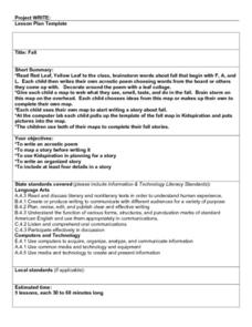
Fall
Students read "Red Leaf, Yellow Leaf" then they brainstorm words about fall that begin with the letters F, A, and L. They compose and decorate their own acrostic poem then they write a Fall story and complete a final copy in the computer...
Curated OER
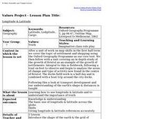
Longitude & Latitude
Seventh graders role play as ship's captains to study longitude and latitude.
Curated OER
What Time Is It? (Latitude and Longitude)
Students practice latitude and longitude by identifying locations by degrees, use meanings of a.m. and p.m. appropriately, become familiar with 24-hour (universal) clock, and calculate time at different degrees longitude.
Curated OER
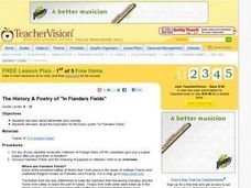
The History and Poetry of In Flanders Fields
High schoolers examine the inspiration for the John Mc Crae's poem, In Flanders Field. They study sonnets and the use of tetrameter before discussing is considered to be a sonnet although it does not follow the pattern. They discuss the...
Curated OER
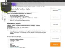
Let the North Star Tell You Where You Are
Students participate in activities in which they find the Big Dipper and locate the North Star in the night sky, examine the relationship between the angle to Polaris and latitude, and determine latitude by using an astrolabe.
Curated OER
Letters from the Road
Students examine and differentiate between rural, urban, and suburban communities. They describe their local areas, view and discuss the images on the West Virginia Quarter, and write a friendly letter describing a camping trip.
Curated OER
Historical Maryland Women
Students identify objects, activities, and people in pictures of women in Maryland's history. In groups of four, they analyze photo packets of historical women. Students complete an acrostic using phrases reflecting specific...
Curated OER
Exploring the Sonnet
Learners research English/Shakespearean and Italian/Petrarchan sonnet forms. They write an original sonnet on their preferred form (English or Italian), write the poem on the wordprocessor and publish and post it on the net at the Sonnet...
Curated OER
The Nature of Haiku Poetry
Students brainstorm elements of nature art prints and photos. They identify the syllable count of Haiku and take a nature walk. They write Haiku poems while practicing the use of simile, alliteration, metaphor, and analogy to describe...
Curated OER
Japanese Culture
First graders research information about Japanese people and culture. They read a Japanese story listening for rhyme schemes. They create their own rhyme schemes. They discuss Japanese food and sample rice cakes. They read Haiku and then...
Curated OER
Learning to Give: Generosity of Spirit Folktales
High schoolers read two Inuit folktales about life and death. In this language arts lesson, students study the models of giving found in these Inuit tales about life, death, grief, sacrifice, and generosity. As the class reads these...
Curated OER
Clouds and Solar Radiation
Students use satellite imaging and Mesonet solar radiation maps to answer questions given to them by the teacher and look for differences and similiarities in the data.
Curated OER
Arbor Day Across the United States
Students perform research about hardiness zones used to guide planting. They read a hardiness zone color-key map and create their own color-key maps to show when different states celebrate Arbor Day.
Curated OER
Rapping Regions in America
Students determine what designates a place as a region. They apply their criteria for a region to the US map. They work in groups to write a rap about their region that describes its organization, type and structure.
Curated OER
What's So Good About Popcorn?
First graders use a thinking map to organize a paragraph. They write and edit their paragraph about popcorn and type the final copy on the computer.
Other popular searches
- Different Types of Maps
- Reviewing Types of Maps
- Types of Maps Grids
- Types of Maps Worksheets
- 10 Types of Maps
- Three Types of Maps
- 2 Types of Maps
- Types of Maps Australia
- Types of Maps "Australia
- Types of Maps "Australia"
- Maps Types Key Symbols


