Curated OER
U.S. Geography for Children: State Capitals
For this United States map skills worksheet, students locate and label specified states and their capitals, and create icons and a map key to show something for each state that is famous. Students answer 5 questions.
Curated OER
Lesson Design Archaeology- U.S. Map
Students examine the U.S. map and identify cultural areas. In this archaeology lesson plan, students locate cultural areas on the U.S. map and fill in the proper locations.
Curated OER
Where Did My Lunch Come From? A U.S. Regional Tour
Students explore the regions from which their food comes. In this social studies lesson, students identify the different agricultural products that are found in the major regions of the United States. Students create a lunch menu.
Curated OER
From Sea to Shining Sea
Students study the geography of the United States of America. Students write letters, create travel brochures, make maps, graph population numbers, read fiction and nonfiction selections, complete KWL charts, and watch films.
Curated OER
Geography Quiz 18
In this geography worksheet, students answer short answer questions about the geography all over the world. Students complete 10 short answer questions.
National Museum of the American Indian
The A:Shiwi (Zuni) People: A Study in Environment, Adaptation, and Agricultural Practices
Discover the connection of native peoples to their natural world, including cultural and agricultural practices, by studying the Zuni people of the American Southwest. This lesson includes examining a poster's photographs, reading...
Curated OER
Mariachi Mania
Ninth graders examine mariachi music and its different musical forms. In this music history lesson plan, 9th graders compare and contrast mariachi music from its beginnings to the present. Students research different aspects...
Curated OER
The Affects of Environment on Native American Culture
Young scholars research the culture of the Native Americans. In this U.S. History lesson, students are given the major geological areas where the Indians lived prior to the arrival of the Europeans, then they create a notebook that...
Concord Consortium
Center of Population
Let the resource take center stage in a lesson on population density. Scholars use provided historical data on the center of the US population to see how it shifted over time. They plot the data on a spreadsheet to look the speed of its...
Peace Corps
Weather and Water in Ghana
Students investigate the climate of their region. Students research statistics and conduct interviews. Students take a virtual tour of Ghana and discuss its climate. Students consider water conservation and the role it plays in both...
Curated OER
George Washington Teaches Map Directions
Students follow teacher given directions, either oral or written to plot points on a grid to create a profile of George Washington. They apply cardinal and ordinal directions to find the points on the grid.
Curated OER
How the West Was One: A Layered Book
Students create a layered book about the information they learn about the Western region of the United States. In this Western states lesson plan, students create a book about the land, economy, and culture.
Curated OER
What Was It Like?
Students use the Internet to gather historical facts about the county in which they live. Using the information, they discover how to check it for accuracy and present their findings to the class. They write an essay about the history of...
Curated OER
States and Territories
In this United states learning exercise, 5th graders read a short script pertaining to the states and territories. Students complete 10 fill in the blank questions and self check this online interactive learning exercise.
Curated OER
Establishing Borders
students will discuss a few of the issues related to expansion. The establishment of a personal opinion is a strong skill this lesson could reinforce. The influence of economic developments is covered during the expansion period of the...
Houghton Mifflin Harcourt
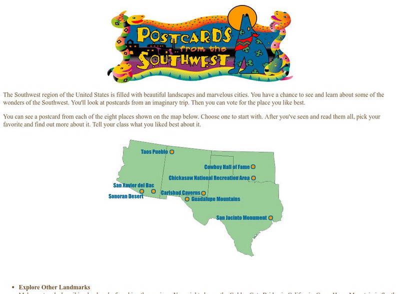
Harcourt: School Publishers: Postcards From the Southwest
The Southwest region of the United States is filled with beautiful landscapes and marvelous cities. Use this site to see and learn about some of the wonders of the Southwest. You'll look at postcards from an imaginary trip. Then you can...
Khan Academy
Khan Academy: Introduction to China
Much of China, a country slightly larger than the continental United States, is hilly or mountainous. To its east lies the Pacific Ocean; to its south thick jungles. Mountains in the southwest connect in the west with the Himalayas,...


