Curated OER
The Greatest Educational Change America Has Ever Seen
Young scholars connect the symbols from the design of the United States Mint Fifty State Quarters Program to our country's history in this five-lesson plan unit. The culture, unique heritage, and geography of the individual states are...
Curated OER
Oh, the Regions
Focus on the geography of Oklahoma. In this activity, learners compare different geographic regions in Oklahoma, create a collage to share their results, and identify important landforms throughout the United States, such as the...
Curated OER
Day to Day Life in a Small African Village
Learners analyze life in a village of Tanzania including its language, geography, health, and hygiene issues. In this African village lesson, students locate Tanzania and its capital city on a map. Learners compare aspects of...
Curated OER
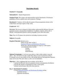
Population Density
Students examine world population density and population distribution. They create pie charts showing population distribution and analyze population patterns in the United States and major regions of the world. They identify...
Curated OER
Using Different Kinds of Maps
Third graders explore the landforms and population diversity. They read maps and examine geographic terms. Students create their own map of the United States and answer questions about the location of people. After exploring the map, 3rd...
Curated OER
Beacons of Light
Students research Internet sites for lighthouses. In this lighthouses lesson, students learn facts about lighthouses in the United States. Students complete a related worksheet and share their information with the class.
Curated OER
History and Government of the United States
In this U.S. worksheet, students take notes in a graphic organizer as they read several passages, then answer four comprehension questions.
Curated OER
From Bolls to Bolts
Fifth graders explore the economic effects of the colonization of North America. In this Social Studies lesson, 5th graders examine the economic and cultural results that occurred due to North America entering the market. Students...
Curated OER
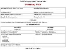
Explorers of New York State
Fourth graders study European explorers who made an impact of New York State. They conduct research and create a timeline and a Powerpoint presentation about one of the explorers.
Curated OER
World Map and Globe
Young scholars locate and identify continents and countries. In this world map lesson, students locate and identify one country on each continent.
Curated OER
States and Territories
In this United states worksheet, 5th graders read a short script pertaining to the states and territories. Students complete 10 fill in the blank questions and self check this online interactive worksheet.
Curated OER
United Nations General Assembly
Students study China and the Chinese occupation of Tibet. They read position summaries/notes of China, Tibet and various foreign nations. Then they roleplay members of United Nations General Assembly and discuss and debate the topic.
Curated OER
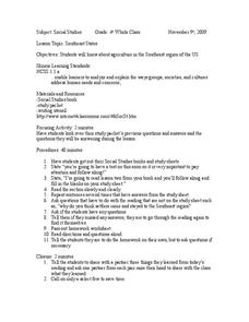
Southeast States
Fourth graders acquire knowledge about the settlement of the southeast region of the United states. In this united states geography lesson, 4th graders learn to analyze and understand the ways in which groups in society have...
Curated OER
Geography Puzzles
Students study the continents of the world. In this Internet geography lesson, students connect to online mapping games. Students collaborate in order to develop their understanding of world geography, including countries and capital...
Curated OER
California Geography
Fourth graders explore geography of four distinct regions of California: mountains, coast, central valley, and desert. They locate California on map, identify state's boundaries and borders, and explore agriculture, a major economic...
Curated OER
Geography Lesson 1
Students examine relationship between population centers and sports teams, explore influence of weather on attendance, and research influence of geography, traffic flow and disposable income on site selection for sports stadiums.
Curated OER
Popcorn Geography
Students use kernels to create a "Top Corn-Producing States" map or graph. They read and round off numbers. Students identify on a U.S. outline map the location of corn-growing states. They create a visual (map or graph) illustration...
Curated OER
Geography, Climate, and Community in the Dominican Republic
Students familiarize themselves with the geography and culture of the Dominican Republic. They use primary source materials on the Dominican Republic to explore the question: How does where you live influence how you live? They describe...
Curated OER
Mapping the News
Students explore cartography. In this map skills and map making lesson, Students work in groups to create wall size world maps including legends, compass roses, latitude and longitude, and physical features. Students collect...
Curated OER
51st State
Students, in small groups, design a new state and create a brochure to present to an agency representative outlining the given information in the lesson plan. Students use templates in the compute lab to write sentences they have...
Curated OER
Maps
Maps, globes, and computer software aid young explorers as they locate state capitols, major cities, geographic features, and attractions for states they are researching. They then use desktop publishing software to create a map to share...
Curated OER
NATO Geography & Language
The class receives background information on NATO, an atlas, and a blank world map. They color the original 1949 countries in red, the 1952 additions in green, and the 1990 additions in blue. This exercise would be a good starting point...
Curated OER
Regions of the United States
Students research maps in order to propose geographic reasons for geographic patterns such as state boundaries, interstates and elevations.
Curated OER
The Silly States: Where Is Your State and City?
First graders read The Scrambled States of America and discuss whether it is real or fantasy as compared to the United States. In this geography instructional activity, 1st graders identify their city or state on a map and work in groups...
Other popular searches
- Geography of United States
- Geography United States
- Geography of the United States
- United States Geography Unit
- Physical Maps United States
- United States Geography Maps
- United States Geography 4 6
- Picture United State Maps
- Physical Maps of United States


